Alabama 811 | Know What's Below.

Archive for November, 2011

2011Hurricane Season Ends

2011Hurricane Season Ends

| November 30, 2011 @ 4:44 pm

The 2011 Atlantic hurricane season officially ends today, having produced a total of 19 tropical storms of which seven became hurricanes, including three major hurricanes. This level of activity matched NOAA’s predictions and continues the trend of active hurricane seasons that began in 1995. The 19 tropical storms represent the third-highest total (tied with 1887, […]

Read More

Severe Clear

Severe Clear

| November 30, 2011 @ 4:25 pm

An all new edition of the ABC 33/40 Weather Xtreme video is available in the player on the right sidebar of the blog. You can subscribe to the Weather Xtreme video on iTunes by clicking here. WARMING TREND AHEAD: The sky cleared right on time today across Alabama, and we are on target for a […]

Read More

Gradual Clearing

Gradual Clearing

| November 30, 2011 @ 6:00 am

An all new edition of the ABC 33/40 Weather Xtreme video is available in the player on the right sidebar of the blog. You can subscribe to the Weather Xtreme video on iTunes by clicking here. BRIGHTER DAYS AHEAD: Most of Alabama is still covered in clouds early this morning, although the sky is clear […]

Read More

Trolls, Haters, and Know-It-Alls

Trolls, Haters, and Know-It-Alls

| November 29, 2011 @ 3:26 pm

Long time blog readers know these folks show up every time snow is mentioned. Whether the forecast is right or wrong, they populate the blog like bed bugs at a bad motel. I guess it is a reflection of society, but unfortunately the time has come for anonymous comments to come to an end here. […]

Read More

Brighter Days Ahead

Brighter Days Ahead

| November 29, 2011 @ 3:17 pm

**No afternoon Weather Xtreme video today due to travel** I had a late afternoon weather program today up at Corner… won’t be able to post a new video, and thanks to the great American weather legend J.B. Elliott for the discussion below… SLOWLY RETURNING TO BETTER WEATHER: Alabama’s big snow event (well, at least a […]

Read More

Snow Pix

Snow Pix

| November 29, 2011 @ 6:43 am | 32 Replies

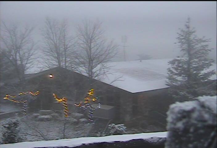
How about this scene from our Alfa SKYCAM up on Mount Cheaha this morning… This image below is from Mentone, in DeKalb County… And, the image below is from Northwest Marion County, near the Mississippi line…

Read More

Another Cold, Raw, Damp Day

Another Cold, Raw, Damp Day

| November 29, 2011 @ 5:45 am | 36 Replies

An all new edition of the ABC 33/40 Weather Xtreme video is available in the player on the right sidebar of the blog. You can subscribe to the Weather Xtreme video on iTunes by clicking here. THIS MORNING: The deep upper low is moving northeast, but still influencing Alabama in a big way with low […]

Read More

Snow analysis 350 am

Snow analysis 350 am

| November 29, 2011 @ 3:52 am | 4 Replies

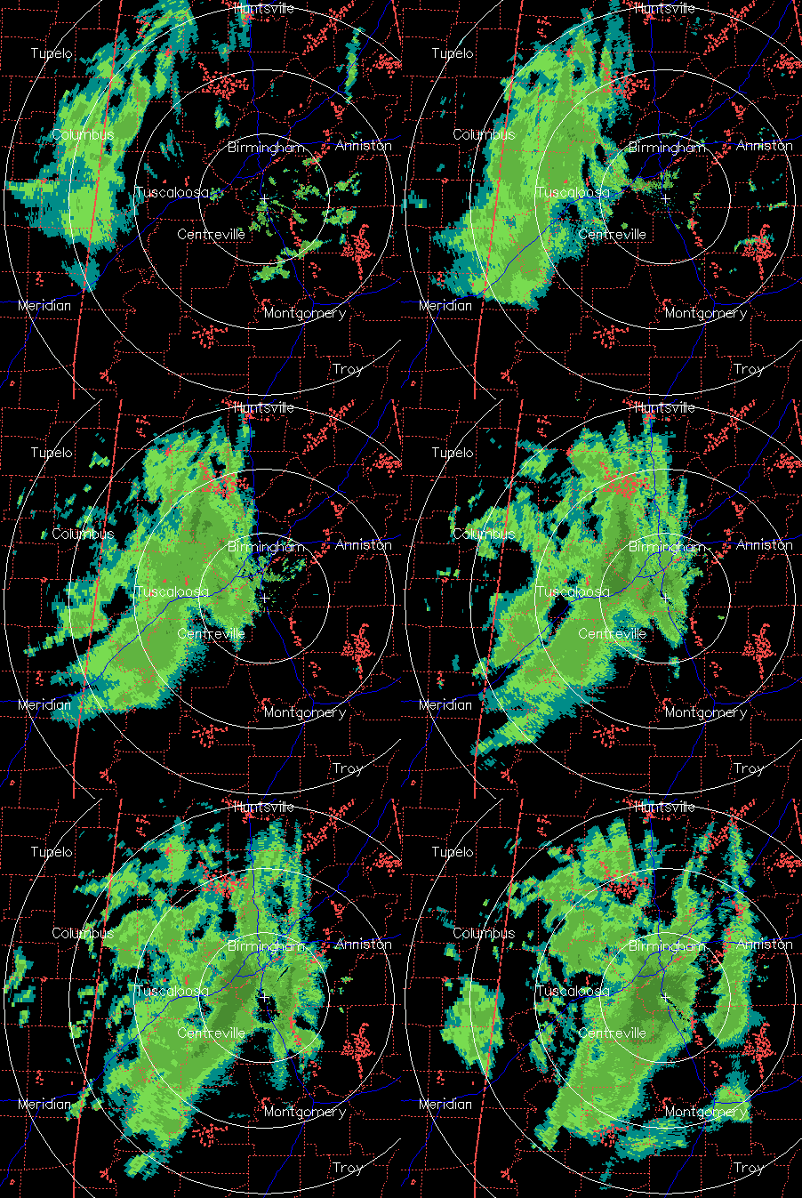
This is about as complicated as atmospheric dynamics and thermodynamics can get.  A cold core low is centered north of Huntsville this morning, and a batch of light precipitation has been moving across northern Alabama the past 2 hours.  Most of this has fallen as rain southeast of Cullman, and snow NW of there (it […]

Read More

WeatherBrains 305:  Kevin Hearts Facebook

WeatherBrains 305: Kevin Hearts Facebook

| November 29, 2011 @ 1:55 am | Reply

WeatherBrains Episode 305 is now online (November 28, 2011). If you are crazy about weather, this is THE netcast audio program for you! Our Guest WeatherBrain for this episode is Dr. Keith L. Seitter. Dr. Seitter was named Executive Director of the American Meteorological Society in September 2004. He served as Deputy Executive Director of […]

Read More

What Now?

What Now?

| November 28, 2011 @ 11:22 pm | 18 Replies

The closed, cold core 500 upper low is over Northwest Alabama late tonight… A lobe of energy rotating around the closed low is producing a large area of light to moderate snow over North Mississippi, and that is posted to move into Alabama overnight… Here are some late answers to your questions… *Will the snow […]

Read More

New Model Data

New Model Data

| November 28, 2011 @ 8:18 pm | 5 Replies

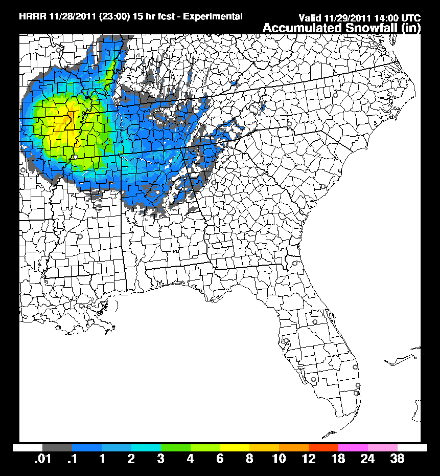
Just for fun… here is a look at the latest run of the new HRRR (High Resolution Rapid Refresh) model… As you look at this, remember much of the snow on the southern periphery will melt due to the warm ground. Still seems to confirm our ongoing forecast. A lobe will rotate into North Alabama […]

Read More

Evening Look

Evening Look

| November 28, 2011 @ 6:58 pm | 13 Replies

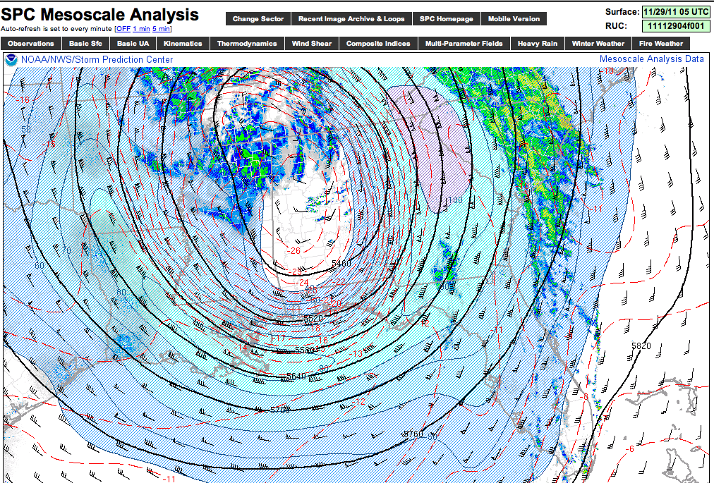
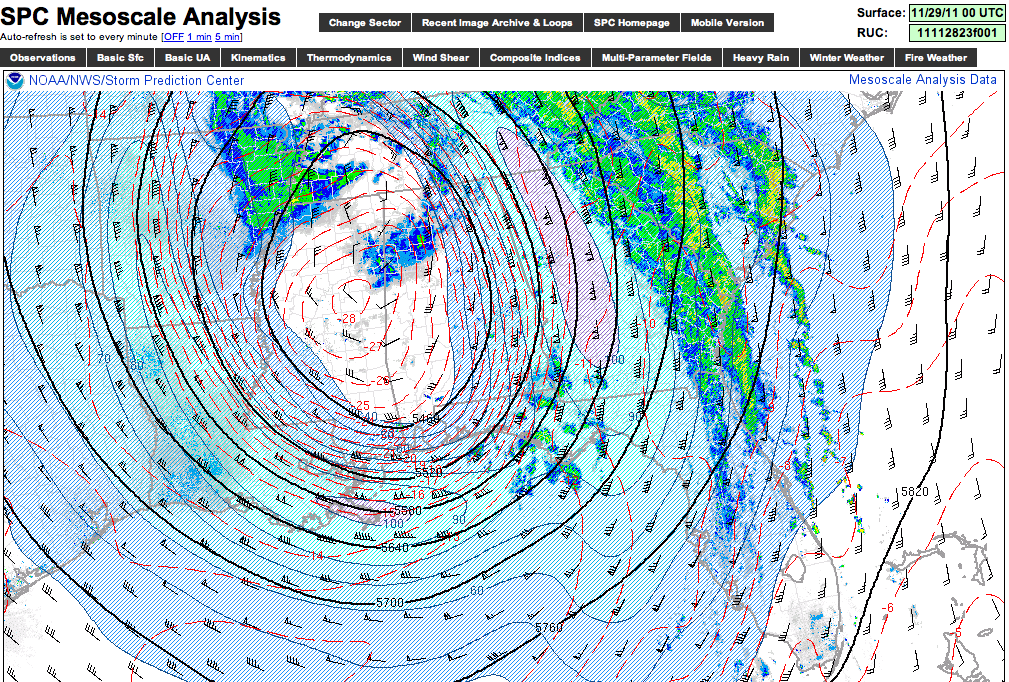
The 500 mb low responsible for the wintry mix over North Alabama features temperatures as low as -28 degrees (C)… This cold core will lift northeast overnight, and we will maintain the chance of light rain, drizzle, and light snow. As we have discussed since yesterday, the best chance of accumulating snow will be over […]

Read More

Snow Pix

Snow Pix

| November 28, 2011 @ 5:28 pm | 5 Replies

These are from different communities across North and Northwest Alabama this afternoon….

Read More

Brief Notes From Our Readers

Brief Notes From Our Readers

| November 28, 2011 @ 4:33 pm | 6 Replies

2:54 pm…Heavy snow in Corner community…big flakes pouring from the sky was how it was described 3:28 pm…38 degrees in Cullman, no snow yet, but wet 3:32 pm…snowing at Smith Lake on Winston County side. Not sticking but pretty to see 4 pm…snowing at Bremen, Cullman County …all snow at Haleyville, with big flakes. Ground […]

Read More