Alabama 811 | Know What's Below.

Archive for April 18th, 2013

Strong Storms Impacting West Alabama

Strong Storms Impacting West Alabama

| April 18, 2013 @ 11:12 pm

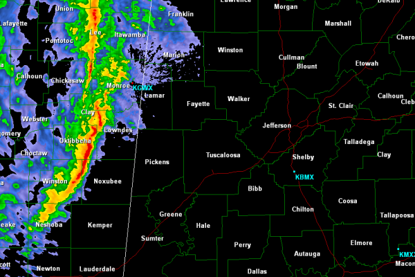
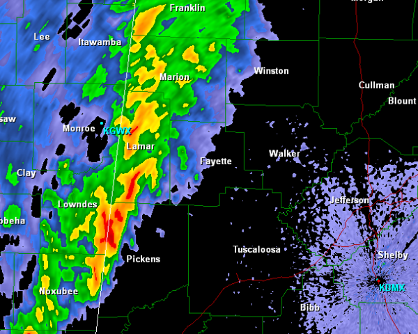
Strong, non-severe storms continue to make their way into Alabama. These storms are producing gusty winds, up to 50mph, heavy rain and frequent cloud to ground lightning. The low-level jet has intensified the last few hours and has allowed more moist air to move in which is providing a little more fuel for the thunderstorms […]

Read More

Storms Approaching the State Line

Storms Approaching the State Line

| April 18, 2013 @ 10:00 pm

Thunderstorms are getting ready to cross the state line and make their way into West Alabama. None of these storms are currently severe, but a few of them are strong. Areas form Pickens through Lamar and Marion Counties will begin to see the rain fall shortly. Some lightning, gusty winds and small hail may accompany […]

Read More

The Latest on the Severe Weather Potential for Western Alabama

The Latest on the Severe Weather Potential for Western Alabama

| April 18, 2013 @ 8:58 pm

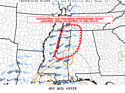
This discussion sums it up for now: …the line of storms is weakening as it encounters weakening instability in eastern Mississippi. …but slightly higher dewpoints are creeping up into West Central Alabama. Tuscaloosa is at 64F now with a temperature of 79F, so warm air is still in place. Temperatures won’t cool substantially overnight thanks […]

Read More

Slight Risk Outlook Continues for Alabama

Slight Risk Outlook Continues for Alabama

| April 18, 2013 @ 8:12 pm

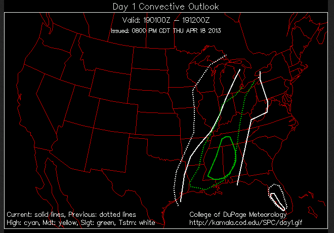
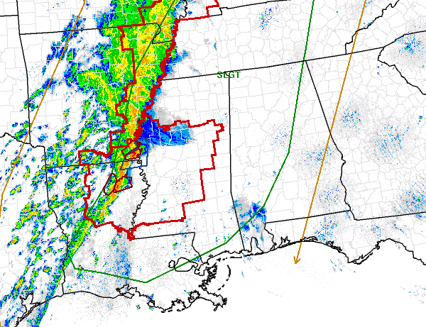
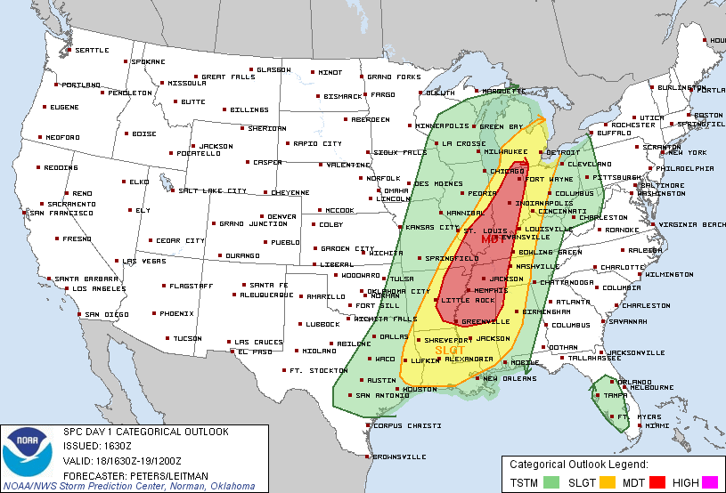
The SPC has dramatically trimmed the Day One slight risk outlook area to just include parts of southern Tennessee, eastern Mississippi and much of Alabama. The northeastern corner of Alabama has been removed. You can see the new slight risk area outlined in solid green. The previous outlook is show in dotted green. The white […]

Read More

Current Storm to Watch

Current Storm to Watch

| April 18, 2013 @ 7:54 pm

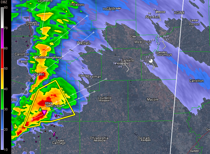
The storm that produced a brief tornado in western Mississippi and prompted several tornado warnings before weakening over the past 75 minutes is ramping up again, about two hours southwest of Columbus. It has the only severe thunderstorm warning in the country right now. The NWS is watching it closely. Lightning output has ramped up […]

Read More

Storms Weaken a Bit As They Cross Mississippi

Storms Weaken a Bit As They Cross Mississippi

| April 18, 2013 @ 6:59 pm

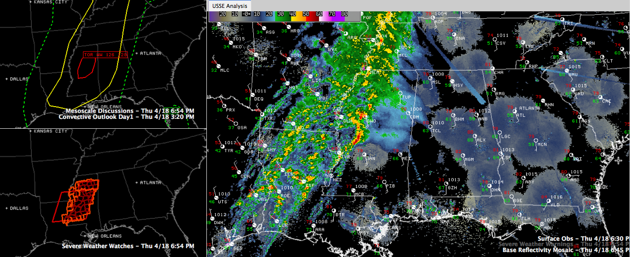
Strong thunderstorms are moving across Central Mississippi tonight, prompting several tornado warnings late this afternoon and evening. One is passing south of Yazoo City now. This storm shows high potential for straight line wind damage and has shown the potential for embedded tornadic vortices as well.A brief tornado was reported crossing US-61 at 5:22 p.m. […]

Read More

Early Evening Update

Early Evening Update

| April 18, 2013 @ 5:15 pm

As a strong cold front marches east, showers and thunderstorms continue to develop and move with it. A strong line of showers and some severe thunderstorms are pushing east this evening. Much of Central Mississippi remains under a tornado watch until 11 PM. There are a few severe thunderstorm and tornado warning with this line. […]

Read More

Severe Weather Threatens Alabama Late Tonight

Severe Weather Threatens Alabama Late Tonight

| April 18, 2013 @ 2:37 pm

**No afternoon Weather Xtreme video today… I am in Pell City, where we are programming NOAA Weather radio receivers at the Publix through 6:30 p.m. If you need help, come see us** QUIET FOR NOW: Nothing on the radar across Alabama this afternoon… we have a mix of sun and clouds with temperatures in the […]

Read More

Tornado Watch Just to Our West

Tornado Watch Just to Our West

| April 18, 2013 @ 1:51 pm

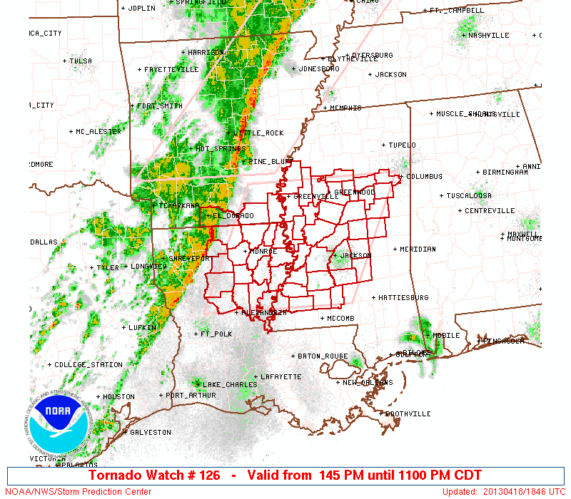
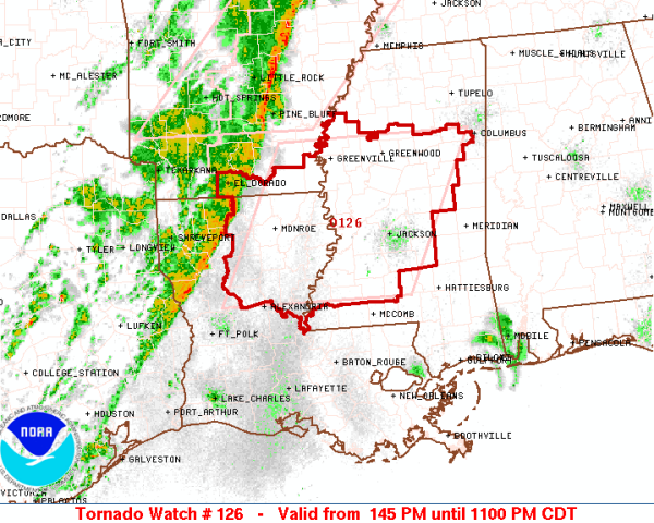
Latest discussion has the chance for tornadoes and severe weather increasing to our west in northern Mississippi. Dewpoints are higher than expected and abundant daytime heating is leading to destabilization of the atmosphere across the area. Instabilities and shear are making conditions favorable for tornadoes.  The watch include the cities of Jackson, Starkville, Greenville and […]

Read More

Mid-Day Update

Mid-Day Update

| April 18, 2013 @ 12:53 pm

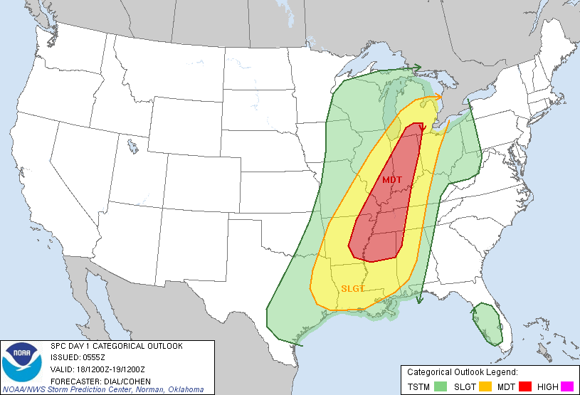
The SPC maintains much of Central Alabama in a slight risk for severe weather today. Moderate risk still extends into our northwestern counties. A favorable environment is developing across the Lower Mississippi River Valley for some tornadoes to develop; some of these tornadoes could be strong. A strong cold front continues to push east today. […]

Read More

Severe Storms Possible After Midnight

Severe Storms Possible After Midnight

| April 18, 2013 @ 6:08 am

An all new edition of the ABC 33/40 Weather Xtreme video is available in the player on the right sidebar of the blog. You can subscribe to the Weather Xtreme video on iTunes by clicking here. THE STORMS OF APRIL: This is the core of the tornado season, so having a severe weather threat is […]

Read More