Alabama 811 | Know What's Below.

Archive for April 28th, 2013

So, Want To Follow James Spann On Social Media?

So, Want To Follow James Spann On Social Media?

| April 28, 2013 @ 8:36 pm

People have referred to me as a “social media expert”. Nope… I am not. And, I am not sure there is such a thing. But, I do enjoy interacting with people, and I have connected with many via social media platforms over the past 10 years. Here is a look at what to expect if […]

Read More

For the Rest of Tonight

For the Rest of Tonight

| April 28, 2013 @ 7:08 pm

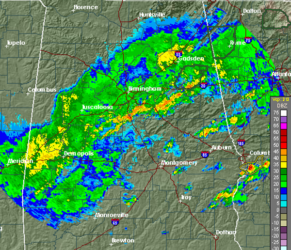
RADAR CHECK: Light rain is falling from Anniston to Clanton to Dempolis currently, with thunderstorms continuing in some of our southeastern counties in the Wiregrass region of the state.  The rain will continue to dissipate and move southeast overnight. Monday looks to be mostly dry with sunny and warm condition across the state. The most […]

Read More

Late Afternoon Radar Check

Late Afternoon Radar Check

| April 28, 2013 @ 4:39 pm

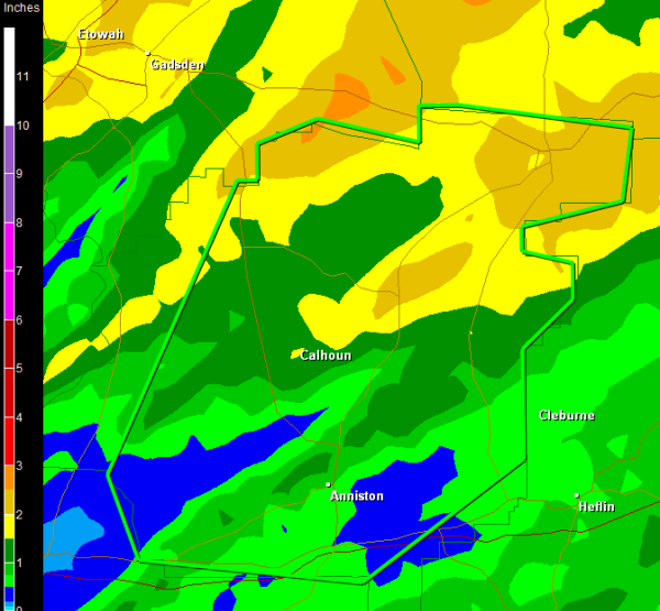
Showers and thunderstorms continue this afternoon across much of Alabama. No severe storms, but the main threat is a flooding. Rainfall rates of 1-3 inches per hour have been reported and flooding is possible in some locations. A flash flood warning remains in effect for most of Calhoun County until 6:30 PM. This warning does […]

Read More

Flash Flood Warning Calhoun County til 6:30 PM

Flash Flood Warning Calhoun County til 6:30 PM

| April 28, 2013 @ 3:39 pm

Heavy rain has been falling across much of Calhoun County for several hours now. This warning includes nearly the entire county and is affecting areas around Anniston, Oxford, Jacksonville and Piedmeont, as well as Interstate 20 and U.S. Highway 431. Flooding is being reported through out the county. If you come across a road that […]

Read More

Line of Storms Slowly Dropping South

Line of Storms Slowly Dropping South

| April 28, 2013 @ 2:08 pm

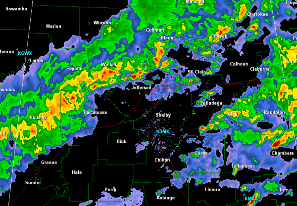
The strong line of storms are now making their way into Jefferson and Tuscaloosa Counties. Storms are still currently non-severe, but they are capable of producing very intense rainfall, small hail and gusty winds. Heavy rain is falling from Gordo, to Samantha, Morris, Clay and up to Gadsden. These storms are currently along the cold […]

Read More

Lunchtime Radar Check

Lunchtime Radar Check

| April 28, 2013 @ 12:36 pm

The cold front responsible for the showers and thunderstorms is making its way into northwest Alabama. A line of thunderstorms has developed along this boundary and the storms continue to propagate northeast along the front as it drops south. Behind the front, the rain is beginning to taper off in Lauderdale, Colbert and Franklin Counties […]

Read More

Mid-Morning Update

Mid-Morning Update

| April 28, 2013 @ 10:29 am

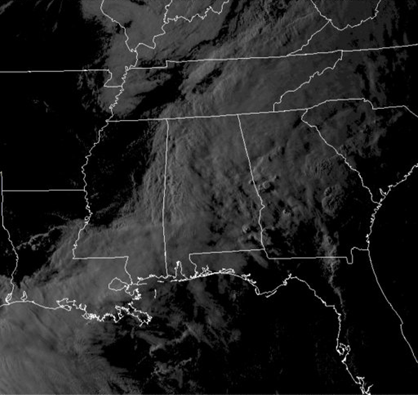
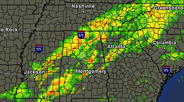
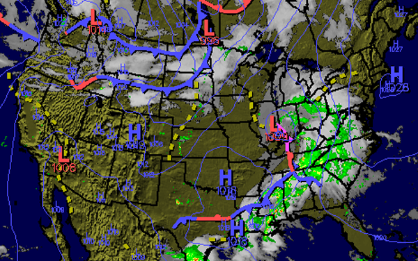
ON THE MAPS: Area of low pressure with a trailing cold front continues to cause unsettled weather across the Southeast and the state of Alabama. The cold front continues to lift the warm moist air across the south and is causing shower and thunderstorm development. Instability values are approaching 1500 J/kg over central Alabama. Luckily, […]

Read More

Another Round of Storms

Another Round of Storms

| April 28, 2013 @ 8:39 am

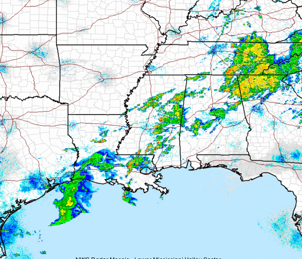
This morning’s showers and thunderstorms have pushed east over into Georgia. Off to our west, additional showers and thunderstorms are developing and making their way into Alabama. None of these storms are currently severe, and they are not expected to reach severe limits. Gusty winds, small hail, torrential rains and dangerous lightning are likely with […]

Read More

Unsettled Weather Today

Unsettled Weather Today

| April 28, 2013 @ 7:18 am

An all new edition of the ABC 33/40 Weather Xtreme video is available in the player on the right sidebar of the blog. You can subscribe to the Weather Xtreme video on iTunes by clicking here. The somewhat unsettled weather pattern will remain in place for Central Alabama today, but take heart, it looks like […]

Read More

Storms Over Northeast Alabama, Loud But Not Severe

Storms Over Northeast Alabama, Loud But Not Severe

| April 28, 2013 @ 6:33 am

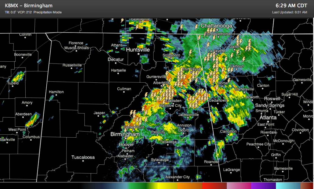
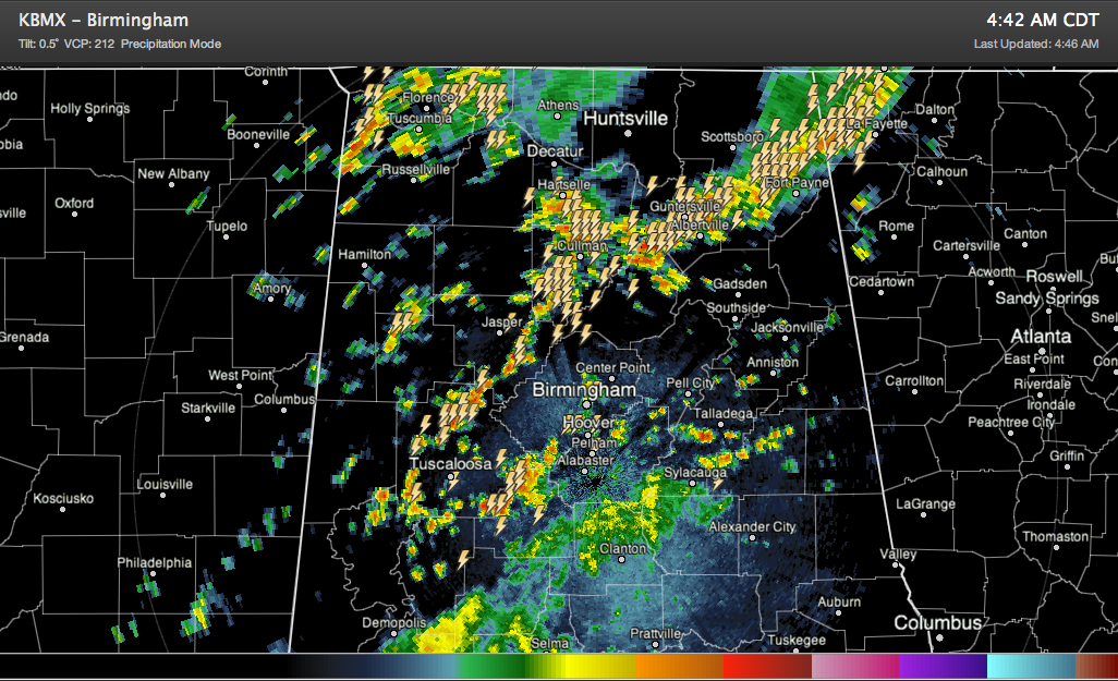
Showers and storms continue this morning over mainly northeast Alabama, but they are below severe limits. Lots of lightning and heavy rain is occurring from the Birmingham area northeast through Gadsden to near Fort Payne. Another cluster of storms is between Piedmont and Centre. Can’t rule out an isolated severe storm today, but organized severe […]

Read More

Showers and Storms Increasing, But Not Severe

Showers and Storms Increasing, But Not Severe

| April 28, 2013 @ 4:49 am

Showers and storms have increased dramatically in coverage early this morning, as expected. But the good news is that they are not severe, and it doesn’t look like they are likely to, as there is just marginal instability and marginal wind shear in pockets across the area. They have lots of lightning and brief heavy […]

Read More

More Severe Storms Approaching

More Severe Storms Approaching

| April 28, 2013 @ 12:17 am

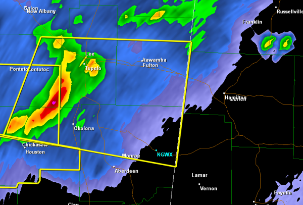
Across Central Alabama this morning, there are some scattered showers and thunderstorms, nothing severe currently. However, off to the northwest a line of severe thunderstorms is coming through Tupelo and will be approaching the western portion of Alabama around 1 AM. Marion and Lamar Counties look to be impacted by these storms that are producing […]

Read More