Alabama 811 | Know What's Below.

Archive for June 1st, 2013

Showers Winding Down

Showers Winding Down

| June 1, 2013 @ 9:27 pm

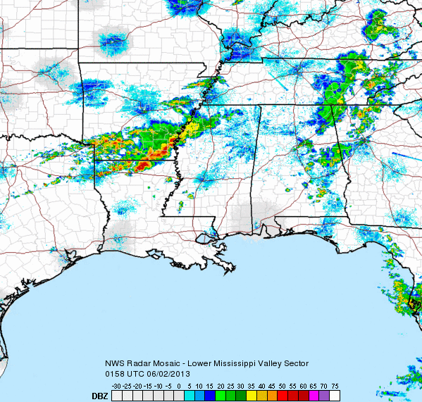
It was a fairly active day across the state as many areas saw some rainfall. We did have one severe thunderstorm warning for Talladega and Clay Counties with a few reports of some tree damage earlier, but since then everything has calmed down. Other areas just reported gusty winds, heavy rains and frequent lightning. Most […]

Read More

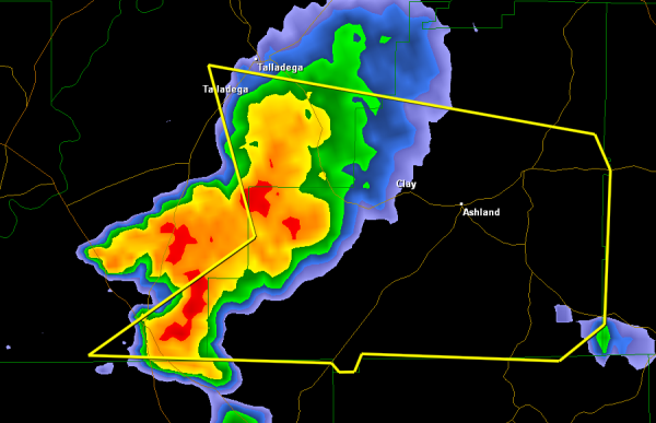
Severe Thunderstorm Warning Clay/Talladega Counties

Severe Thunderstorm Warning Clay/Talladega Counties

| June 1, 2013 @ 6:37 pm

This severe thunderstorm is east of Highway 280 and continues to push off to the east southeast. The warning is for extreme southeastern Talladega and includes the community of Waldo. This storm will be moving into Central Clay County and will be impacting both Ashland and Lineville. Hail, gusty winds and dangerous lightning are being […]

Read More

Statement from Storm Prediction Center

Statement from Storm Prediction Center

| June 1, 2013 @ 5:27 pm

MESOSCALE DISCUSSION 0927 NWS STORM PREDICTION CENTER NORMAN OK 0505 PM CDT SAT JUN 01 2013 AREAS AFFECTED…NCNTRL AL…MIDDLE AND ERN TN THROUGH ERN KY CONCERNING…SEVERE POTENTIAL…WATCH UNLIKELY VALID 012205Z – 012330Z PROBABILITY OF WATCH ISSUANCE…20 PERCENT SUMMARY…LINE OF MULTICELL STORMS FROM NRN AL THROUGH ERN KY WILL POSE A MODEST RISK FOR ISOLATED STRONG […]

Read More

Showers and Storms

Showers and Storms

| June 1, 2013 @ 5:10 pm

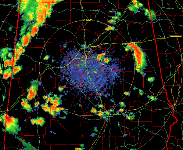
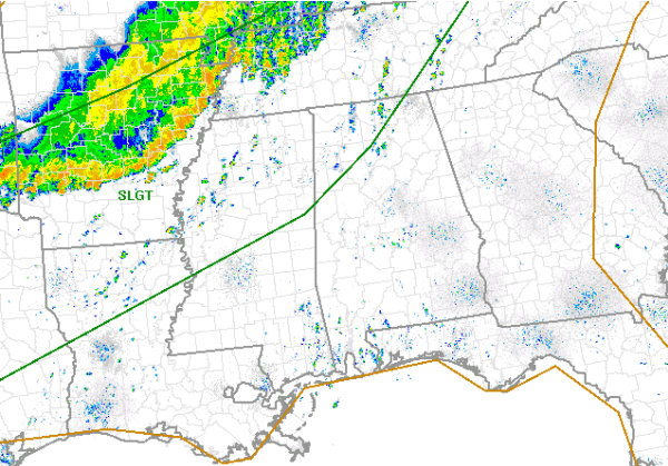
A quick look at the radar this evening shows a line of showers and thunderstorms moving east across portions of North Alabama. Areas from Reform to Fayette up to Haleyville are seeing some of the more intense activity. No storms are currently severe and hopefully we will not see any storm reach severe limits. Some […]

Read More

Mid-Afternoon Update

Mid-Afternoon Update

| June 1, 2013 @ 3:29 pm

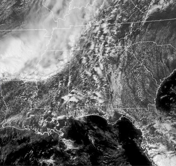
Showers and thunderstorms continue to develop across much of the state and Southeast this afternoon. Scattered showers have popped up over Alabama, while a line of showers and storms continues to push into Northwest Alabama from Mississippi. The SPC maintains a slight risk for our northwestern counties, but have come off the severity that is […]

Read More

June Is Busting Out All Over

June Is Busting Out All Over

| June 1, 2013 @ 2:55 pm

Photograph by Kathy Bell, owner of kbella photography. The sixth month of the year in Birmingham features warm temperatures, increasing humidity and generally light precipitation. It is the third driest month, averaging 3.78 inches of rain. Only October and August are drier. Afternoon and evening thunderstorms become a frequent occurrence, generally happening on eight days […]

Read More

Hurricane Season Begins Today

Hurricane Season Begins Today

| June 1, 2013 @ 1:21 pm

It is the first of June and that means all eyes shift to the waters of the Atlantic. Today is the first day of the Atlantic Hurricane Season, and if all the forecast are accurate, it could be very busy over the next 6 months. Hurricane season typically runs through the end of November. Hopefully, […]

Read More

Scattered Showers

Scattered Showers

| June 1, 2013 @ 12:56 pm

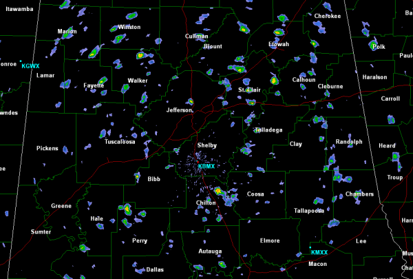
Numerous scattered showers are popping up across the Alabama landscape this afternoon. Nothing too intense and none of the showers are anywhere near severe limits. Light to moderate rain is falling with these very rapidly moving showers. A very moist boundary layer and a fast moving low-level jet is allowing all these showers to move […]

Read More

Scattered Storms Possible Again

Scattered Storms Possible Again

| June 1, 2013 @ 11:37 am

No Weather Xtreme Video this morning due to the fact that I am in Pittsburg, NH, and the Internet connectivity is just not quite there for posting a sizable video file. And for some reason, my post was not made earlier in the day, so I reposted it when I realized it was not there. […]

Read More

Severe Weather Risk for NW Alabama

Severe Weather Risk for NW Alabama

| June 1, 2013 @ 11:32 am

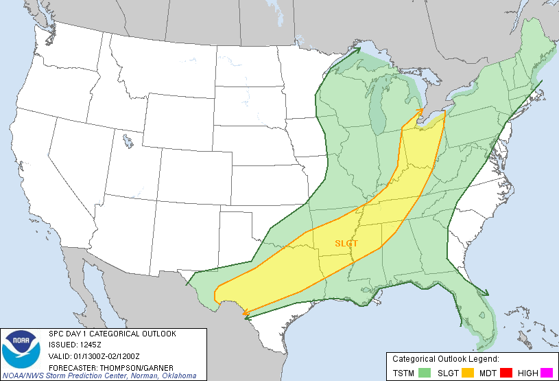
The latest day one convective outlook has the SPC maintaining portions of northwest Alabama in a slight risk for severe weather. The risk does not include Birmingham, Tuscaloosa, Anniston or Gadsden, but does include Huntsville, Fayette, Hamilton, Haleyville  and Muscle Shoals. Showers and thunderstorms continue this mid day along a boundary to our north and […]

Read More

Scattered Showers Later Today

Scattered Showers Later Today

| June 1, 2013 @ 9:59 am

**Brian Peters is out of town on vacation… so no videos this weekend; Ryan Stinnett provides the discussion today** ALABAMA TODAY: It will be another very warm and muggy day across the state. By early afternoon, isolated to scattered showers and maybe a few thunderstorm are expected across portions of the state. Very similar coverage […]

Read More