Alabama 811 | Know What's Below.

Archive for June 9th, 2013

Late Night Radar Check

Late Night Radar Check

| June 9, 2013 @ 10:47 pm

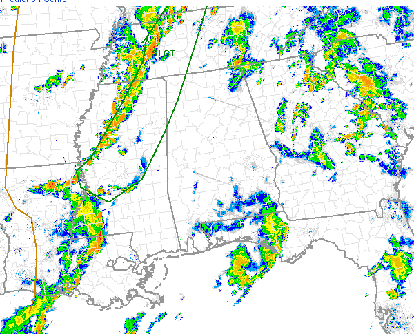
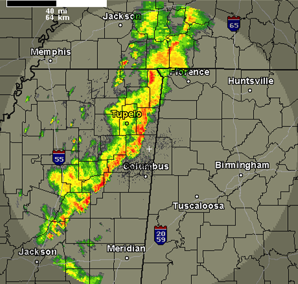
A line of thunderstorms is about to cross the state line from Mississippi. These storms have been severe during their track across northern Mississippi, but that have been weakening the last several hours. Currently, none of the storms are severe and the models actually show that these storms will continue to weaken as they head […]

Read More

Watching Storms to our West

Watching Storms to our West

| June 9, 2013 @ 8:01 pm

Most of Alabama saw a soaking rain today. A very moist air mass in place provided ample fuel for showers and thunderstorms that developed and rapidly moved north today. Most of the activity from today has dissipated the last few hours as the sun has set. To our west, a line of thunderstorms were moving […]

Read More

Early Evening Radar Check

Early Evening Radar Check

| June 9, 2013 @ 6:10 pm

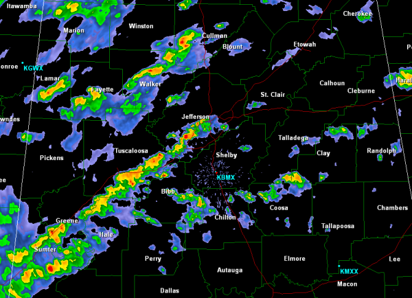
Showers and storms have really wound down the last couple of hours across Alabama. Looking at the latest radar image, there were still showers affecting the Birmingham Metro. Nothing too intense, but a steady rain is falling across Jefferson, Blount, St. Clair and Etowah Counties. All showers continue to lift north this evening. There are […]

Read More

Showers and Storms Lifting North

Showers and Storms Lifting North

| June 9, 2013 @ 3:36 pm

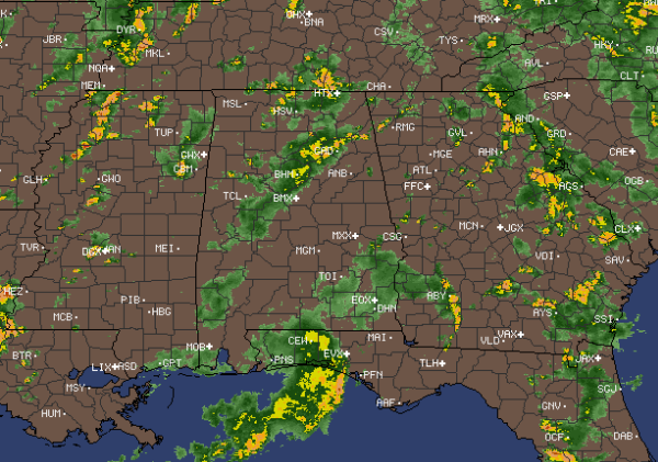
Several lines of showers and thunderstorms are continuing to lift north through Alabama this afternoon. No storms are currently severe, but they are producing gusty winds, torrential rains and frequent lightning. Most intense activity currently is along Interstate 20/59 from Downtown Birmingham down towards Tuscaloosa, Eutaw, Livingston, and Meridian. Also, some heavier activity is in […]

Read More

Early Afternoon Radar Check

Early Afternoon Radar Check

| June 9, 2013 @ 1:36 pm

Over the last few hours we have seen a rapid development of showers and some thunderstorms across Alabama. A very moist air mass in place, along with daytime heating and some upper-level forcing have allowed for widespread convective activity. All showers are moving rapidly off to the north. Some of the most intense activity currently […]

Read More

Midday Outlook

Midday Outlook

| June 9, 2013 @ 11:33 am

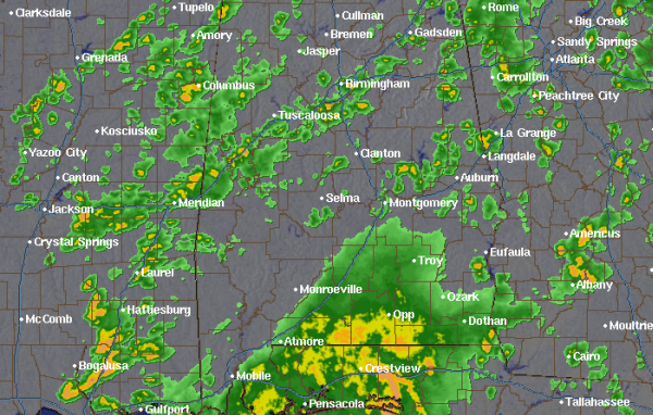
There have been a few areas of showers and thunderstorm that have impacted portions of Central Alabama this morning, but most of this activity has moved out of the area. We have seen a substantial break in the clouds especially over portions of west Alabama. This will be very short-lived as showers are already beginning […]

Read More

Showers and Storms Today

Showers and Storms Today

| June 9, 2013 @ 7:13 am

Saturday was a pretty descent day across the our part of the state. Most locations stayed dry and humidity levels were low. A few showers and storms made their way into our southern counties but nothing too intense. Today will be much different as widespread showers and thunderstorms are expected. OUR WEATHER STORY: A frontal […]

Read More