Alabama 811 | Know What's Below.

Archive for July 10th, 2013

Storms Dropping South

Storms Dropping South

| July 10, 2013 @ 10:49 pm

We are still watching some strong storms as they drop south from the Tennessee Valley and are now beginning to impact portions of Cherokee and Etowah Counties. These storms are slowly weakening and should continue to do so over the next few hours. These storms are producing gusty winds, hail, very heavy rainfall and frequent […]

Read More

Strong Storms Across Tennessee Valley

Strong Storms Across Tennessee Valley

| July 10, 2013 @ 9:22 pm

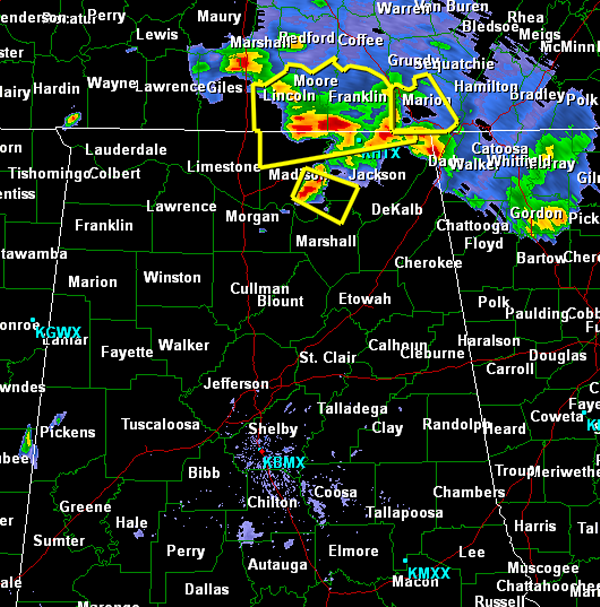
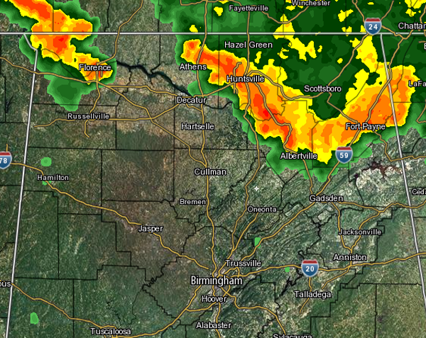
Late this evening there are still strong and severe storms across the Tennessee Valley. These storms continue to drop south across the Huntsville metro and severe thunderstorm warnings are in effect in the area. We will have to watch these storms the next few hours as they could impact some of our northeastern counties. Damaging […]

Read More

Flash Flood Warning : Jefferson/Shelby until 9:30 PM

Flash Flood Warning : Jefferson/Shelby until 9:30 PM

| July 10, 2013 @ 6:32 pm

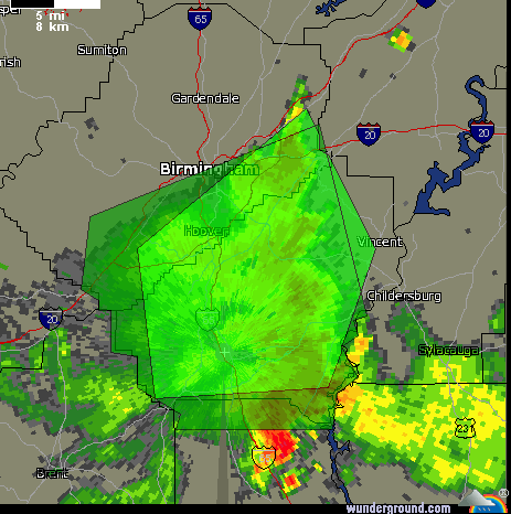
A very strong thunderstorm has dropped tremendous amounts of rain across the metro area. Widespread flash flooding is being reported, especially along Highway 280. Do not drive through flooded roads. This is a very dangerous and life-threatening situation. Some areas received over 2 inches of rain in a very short period of time. THE NATIONAL […]

Read More

Big Storms in the Birmingham Metro

Big Storms in the Birmingham Metro

| July 10, 2013 @ 5:51 pm

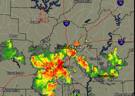
Widespread showers and thunderstorms have developed across Alabama this evening. Some very strong storms are impacting the Metro area with very dangerous lightning, torrential rains and gusty winds. None of these storms are currently severe, but they could be rather strong. Flash flooding could become a serious threat with the storms. The more intense storms […]

Read More

Showers/Storms Through Tomorrow; Drier Friday

Showers/Storms Through Tomorrow; Drier Friday

| July 10, 2013 @ 3:55 pm

An all new edition of the ABC 33/40 Weather Xtreme video is available in the player on the right sidebar of the blog. You can subscribe to the Weather Xtreme video on iTunes by clicking here. ACTIVE STORMS: Strong summer storms continue in scattered pockets across Alabama this afternoon. Heavier storms at 4:00 this afternoon […]

Read More

Waterspouts on Mobile Bay

Waterspouts on Mobile Bay

| July 10, 2013 @ 3:27 pm

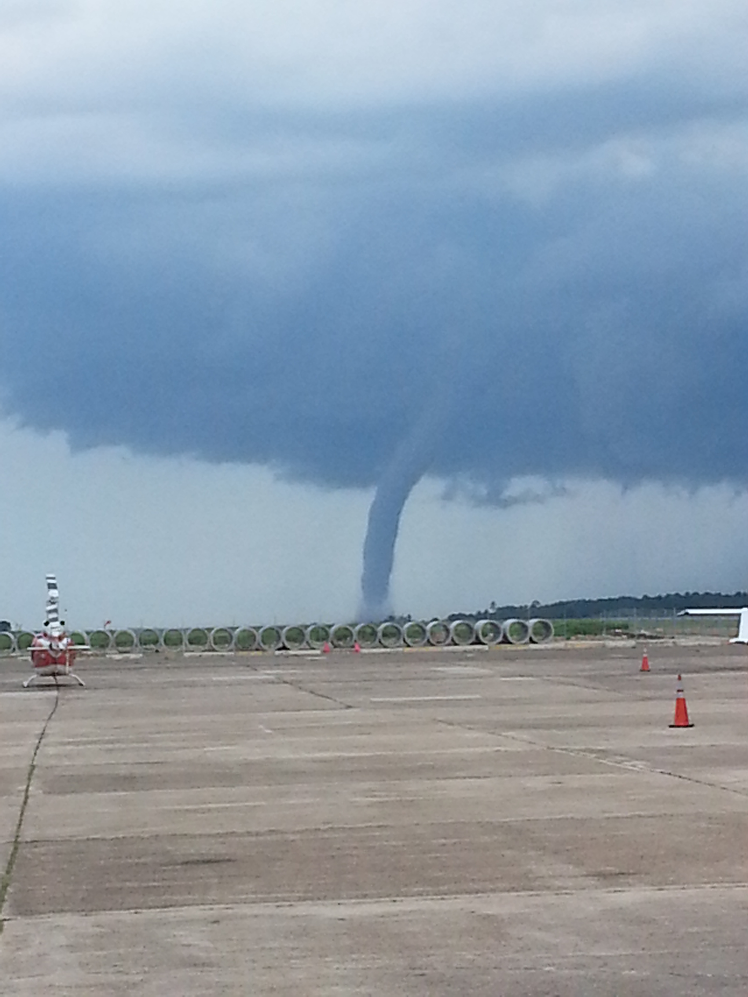
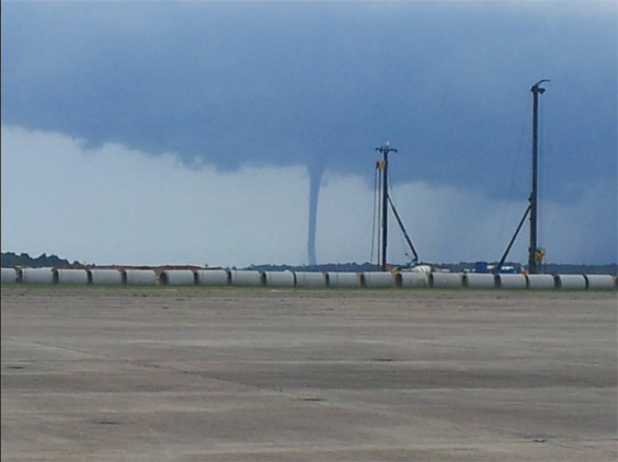
Here are some shots sent to me courtesy of some friends in the Mobile, Alabama area today. Several waterspouts reported around the Bay earlier today with thunderstorms.

Read More

An Active Radar

An Active Radar

| July 10, 2013 @ 12:55 pm

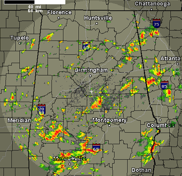
A quick look at the radar shows widespread showers and thunderstorms for many areas across Central Alabama. The very warm, moist air mass is in place is providing fuel for this activity. Daytime heating has helped increase instability, which allowed this convection to fire up during the late morning hours and now heading through the […]

Read More

An Unorganized Chantal

An Unorganized Chantal

| July 10, 2013 @ 10:27 am

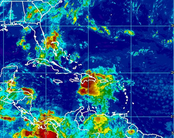
During the overnight hours, Chantal weakened quite a bit. She has been very disorganized from the get go because her forward speed is very fast for a tropical system. The bulk of her convection and thunderstorms have remained off to the east of the low pressure center. During the early morning hours, a closed circulation […]

Read More

Sun And Storms

Sun And Storms

| July 10, 2013 @ 6:01 am

An all new edition of the ABC 33/40 Weather Xtreme video is available in the player on the right sidebar of the blog. You can subscribe to the Weather Xtreme video on iTunes by clicking here. SUMMER MIX: Moist air still blankets Alabama, and we expect scattered to numerous showers and thunderstorms across the state […]

Read More