Alabama 811 | Know What's Below.

Archive for June 8th, 2015

Tracking Strong Storms

Tracking Strong Storms

| June 8, 2015 @ 5:32 pm

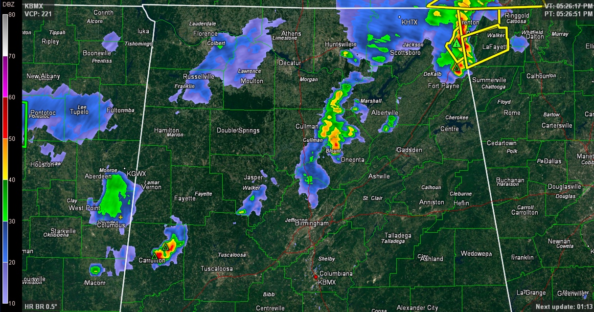
Strong thunderstorms are widely scattered across North Central Alabama this afternoon. Really two storms at this time, one over Pickens County between Reform and Gordo and the other centered on the Cullman/Blount County line west of Blountsville and Cleveland. In Northeast Alabama, storms with a history of producing wind damage are over Dekalb and Jackson […]

Read More

Scattered Strong Storms Tonight

Scattered Strong Storms Tonight

| June 8, 2015 @ 3:28 pm

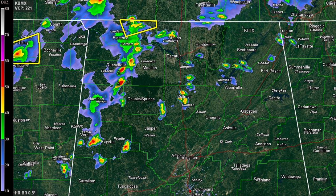
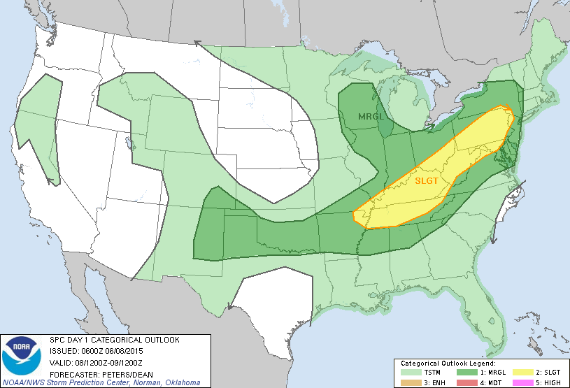
RADAR CHECK: Heaviest storms in Alabama at mid-afternoon were over the northwest corner of the state; they are producing heavy, gusty winds, and frequent lightning as they move east. Some scattered wind damage was reported in Florence around 2:30… A surface front, supported by a fairly robust upper trough, is moving into extreme North Tennessee […]

Read More

Strong Storms Over Northwest Alabama

Strong Storms Over Northwest Alabama

| June 8, 2015 @ 3:05 pm

The NWS has issued a severe thunderstorm warning for Lauderdale County for a storm approaching Killen. It will move to near Lexington. Wind damage was reported in Florence, with some large trees down. Strong storms extend southeastward through Colbert, eastern Franklin, Marion and into Lamar and Fayette Counties. Other storms are The airmass north of […]

Read More

Scattered Showers/Storms Return

Scattered Showers/Storms Return

| June 8, 2015 @ 6:25 am

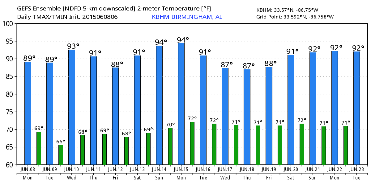
RADAR CHECK: We actually have a few showers at daybreak in progress over Clay and Talladega Counties… they are moving northeast, and seem to be dissipating. For most Alabama communities, yesterday was the hottest day so far this year. Birmingham and Anniston reached 91, while Tuscaloosa hit 93 degrees. Heat levels will come down a […]

Read More