Alabama 811 | Know What's Below.

Archive for June 15th, 2015

It’s Official!  It’s a Bill!

It’s Official! It’s a Bill!

| June 15, 2015 @ 9:29 pm

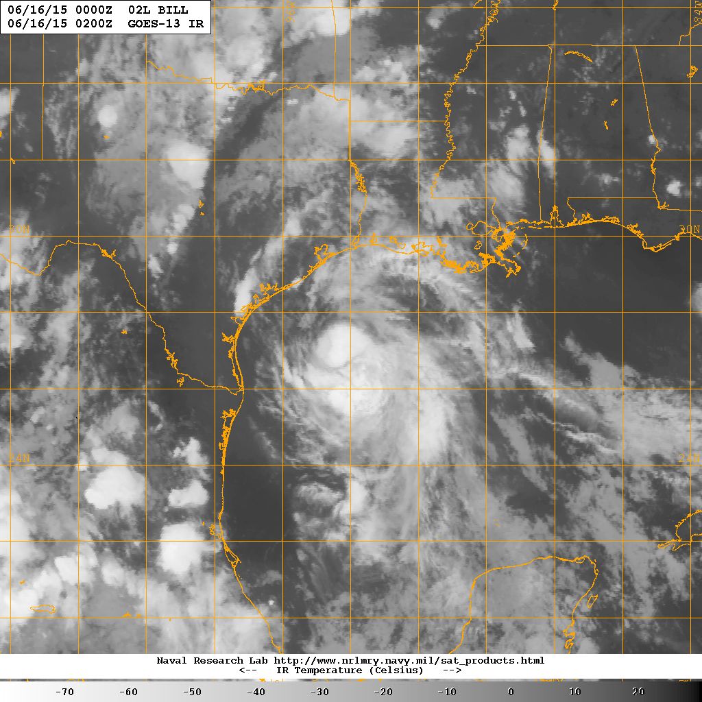
Here is the information from the first advisory on Tropical Storm Bill. SUMMARY OF 1000 PM CDT…INFORMATION ———————————————– LOCATION…27.1N 94.2W ABOUT 160 MI…260 KM ESE OF PORT OCONNOR TEXAS ABOUT 155 MI…250 KM SSE OF GALVESTON TEXAS MAXIMUM SUSTAINED WINDS…50 MPH…85 KM/H PRESENT MOVEMENT…NW OR 320 DEGREES AT 12 MPH…19 KM/H MINIMUM CENTRAL PRESSURE…1005 MB…29.68 […]

Read More

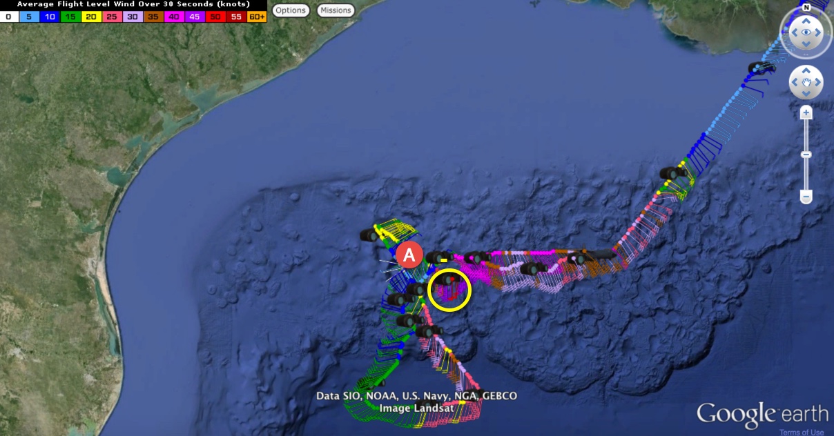
Bill-To-Be: 50 kt Flight Level Winds

Bill-To-Be: 50 kt Flight Level Winds

| June 15, 2015 @ 8:31 pm

LATE REPORT 8:45 PM Although the NHC has not officially announced it yet, they have flipped the designation from Invest 91L to AL02 indicating that it’s a boy! We should have advisories on Bill shortly. ORIGINAL POST From the 7 p.m. CDT Tropical Weather Outlook from the NHC: Surface observations and preliminary data from an […]

Read More

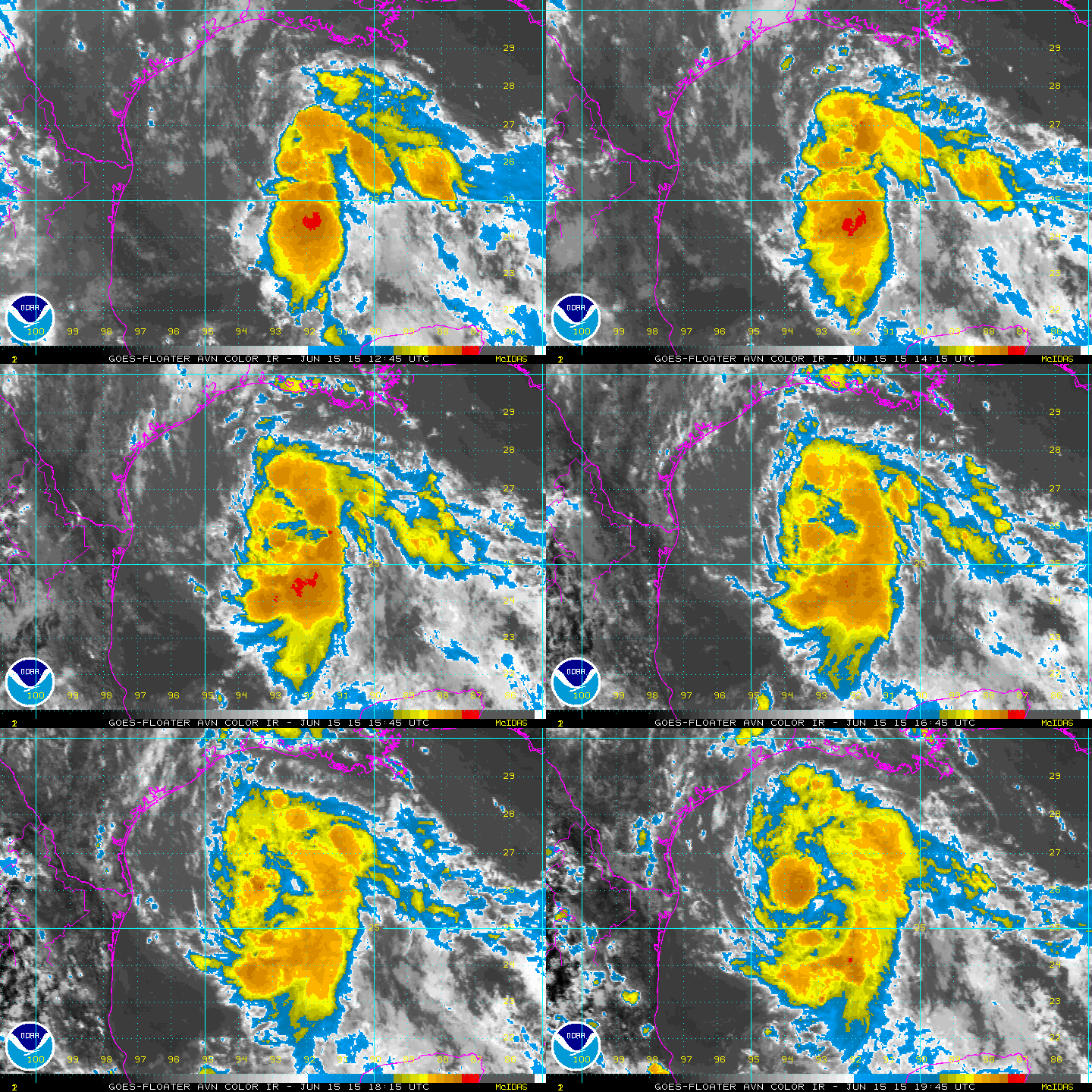
Bill-To-Be: Gulf System Could Be Upgraded Soon

Bill-To-Be: Gulf System Could Be Upgraded Soon

| June 15, 2015 @ 3:32 pm

Imvest 91L over the Central Gulf of Mexico has not been designated a tropical depression or tropical storm yet because the circulation is not considered to be tight enough yet. But tropical storm force winds are being measured well to the northeast of the center. The system appears to be becoming better organized with convection […]

Read More

Hot and Mostly Dry

Hot and Mostly Dry

| June 15, 2015 @ 6:36 am

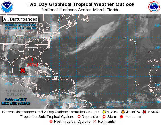
Not much change in the overall thinking for our weather in Central Alabama as we continue to watch events develop in the western Gulf of Mexico. Bill is not yet Bill, but could become Bill at almost any time. Over the Southeast US, high pressure at the surface and aloft is keeping a clockwise circulation […]

Read More