Archive for April 13th, 2016
Cool, Wet Weather Through Friday
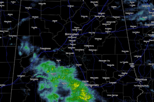
RADAR CHECK: Light rain is falling over parts of Central Alabama this afternoon… otherwise the sky is cloudy with temperatures in the 60s. TONIGHT/TOMORROW: A wave of low pressure on a stalled surface front to the south will mean cool, wet weather with periods of rain, and possibly a thunderstorm. Additional rain amounts of 1/2 […]
Wednesday Midday Nowcast For Alabama
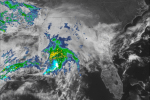
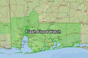
CURRENT CONDITIONS: Skies are cloudy across the state, with moderate to heavy showers and thunderstorms making their way into southwest Alabama. A Flash Flood Watch will go into effect at 1:00 PM this afternoon through Thursday evening for Mobile and Baldwin Counties in Alabama, portions of northwest Florida and southwest Mississippi. Rainfall in the watch […]
Wednesday Thoughts from Satellite Sheldon
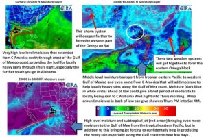
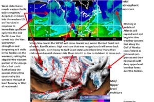
The attached satellite graphic gives analysis for current features that will play in Alabama’s weather over the next several days. Blocking in Atlantic expands/further develops west into the eastern CONUS, while a developing/deepening low comes out of the Eastern Pacific to form a deep low over the West/Rockies. This will result in an Omega block. […]
Wet Weather Returns To Alabama
AT DAYBREAK: It is a quiet, cool morning across Alabama as the day begins; as cold as 39 degrees up at Fort Payne; most places are in the upper 40s and low 50s. To the west, widespread rain and thunderstorms are over Louisiana, and that big rain mass is moving in our direction. Rain will […]


