

Chilly Yesterday, Chillier Today
Highs on Friday were in the middle and upper 60s across Central Alabama. It was 66F in Anniston and Birmingham, 67F at Calera and 68F at Tuscaloosa. Temperatures this morning are in the 30s across areas from Lamar, Fayette, Walker, Blount, Etowah and Cherokee Counties, with 40s elsewhere. Frost occurred in many of the colder locations. Today’s highs will be several degrees cooler as a cold airmass continues to flow into the state on the backside of a big trough of low pressure that is setting up over the eastern United States. In fact, several areas north of Birmingham won’t get out of the 50s today.
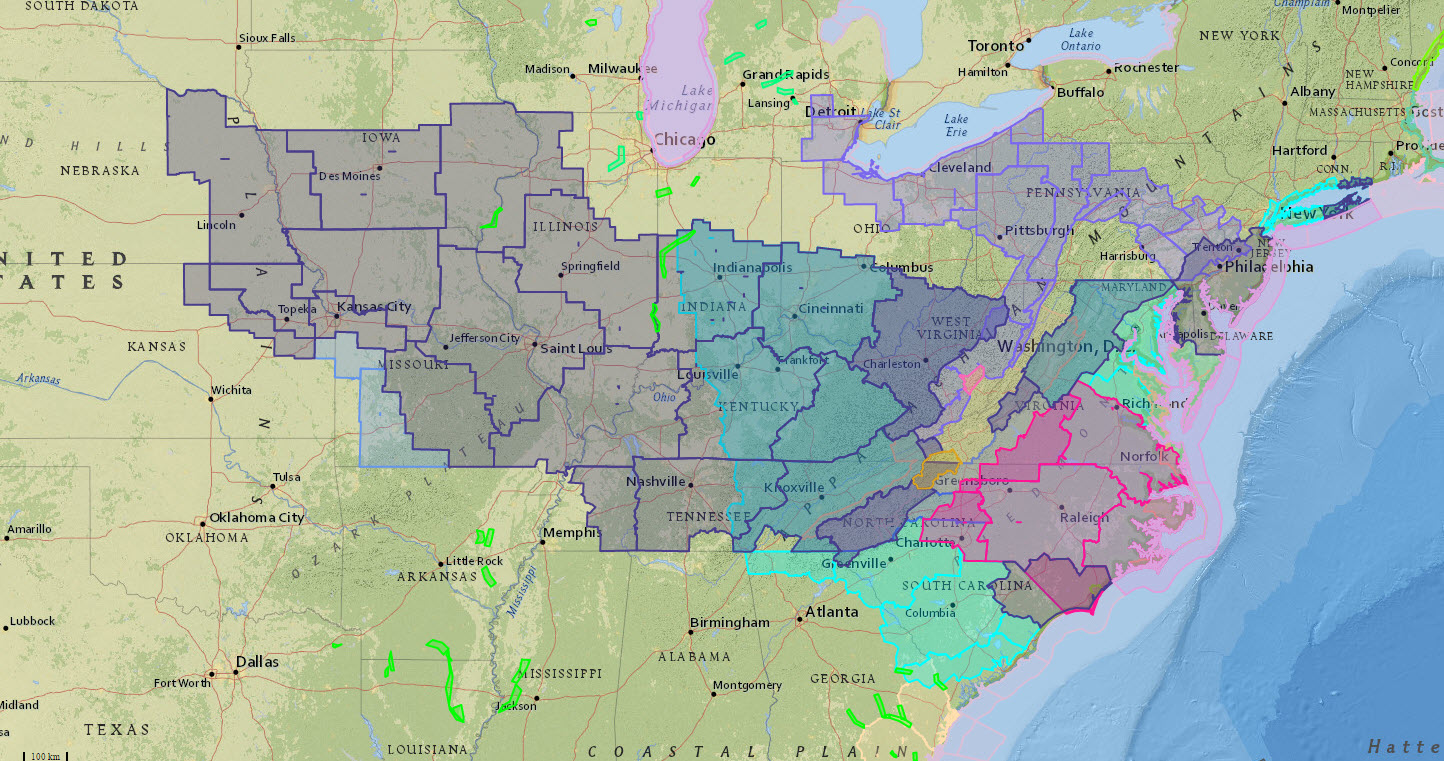
PATCHWORK QUILT: The patchwork quilt shown on the watch, warning, advisory page this morning is thanks to a slew of frost and freeze watches and warnings from eastern Nebraska to the Mid Atlantic Coast. There are a few fire weather watches and warnings through the Carolinas and Virginia as well.
CHILLY START TOMORROW: Sunday will start off a lot like today with temperatures in the 30s and lower 40s and little frost in the normally colder locations.
FREEZE POSSIBLE: Valleys in North and North Central Alabama could see freezing conditions this morning and again Sunday morning, and growers need to keep this in mind when it comes to protecting vulnerable plants.
SUNDAY MODERATION: A warm front will come north on Sunday, allowing temperatures to moderate back into the upper 60s. There could be a few light showers with the northward moving warm front.
NEXT WEEK: Monday looks dry and mild with a high in the upper 70s, then we will deal with a round of showers and thunderstorms Monday night into Tuesday. The overall severe weather threat for now looks pretty low, and rain amounts of 1/2 to 3/4? are likely. Then, by Wednesday, the best chance of rain shifts down into far South Alabama. Thursday and Friday will be mostly sunny and mild with a high in the 70s.
AT THE BEACH: Dry and pleasant weather continues on the Gulf Coast from Panama City Beach over to Gulf Shores through Monday; showers and storms return Tuesday and Wednesday. Highs mostly in the 70s
WEATHERBRAINS:. This week, TV mets Robin Reed and Brett Watts talked about the future of the business. Check out the weekly netcast that’s all about weather at www.WeatherBrains.com. You can also subscribe on iTunes. You can watch the show live at live.bigbrainsmedia.com You can also see the show on the James Spann 24×7 weather channel on cable or satellite or directly over the air on the dot 2 feed.
STORM SPOTTER TRAINING TODAY: Storm Spotter Xtreme is today at the BJCC from 9am to 2pm. This will feature both the basic and advanced SKYWARN classes, along with a session from Kevin Laws of the Birmingham NWS office. And, if you come, you get free admission to the Alabama International Auto Show, going on at the BJCC that same day. There is no cost and no need to register. Just show up with a curious mind. Kids 10 and older will also enjoy this if they love weather and want to learn more. The entrance for everyone attending is the East Exhibition Hall entrance, go left and enter the doors marked North Meeting rooms C-I adjacent to the bathrooms before you get to the escalators on the right wall. Please help us make the severe weather warning process better!
Category: Alabama's Weather
About the Author (Author Profile)
Bill Murray is the President of The Weather Factory. He is the site's official weather historian and a weekend forecaster. He also anchors the site's severe weather coverage. Bill Murray is the proud holder of National Weather Association Digital Seal #0001 @wxhistorianSubscribe
If you enjoyed this article, subscribe to receive more just like it.


