Turning Out to Be a Nice Sunday
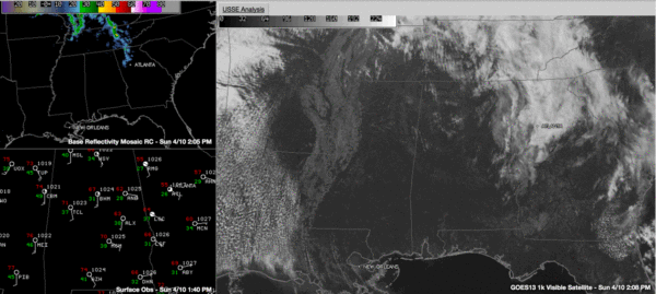
A warm front has lifted northeast across the state on this Sunday, carrying a batch of light showers with it. Those showers are over northern Georgia at this hour. They extend northward into eastern Tennessee and Kentucky. There are storms over southern Illinois, associated with an upper level disturbance.
Temperatures are in the 60s over Northeast Alabama where skies have been mostly cloudy all day. 70s are commonplace in the sunny area over West Central Alabama. Areas from Birmingham southwest are mostly sunny with partly cloudy skies over Northwest Alabama.
Dewpoints are in the 20s in Northeast Alabama, but are moistening over the rest of Central and Southwest Alabama. They’re in the 40s over Mississippi now. This moistening trend will continue the rest of today and tonight. Precipitable waters are already approaching 1 inch and will be over 1.5 inches by tomorrow.
An upper ridge is being pushed up by the upper low over the Southwest, but its influence will be short lived. The upper low over the Southwest will weaken as it moves toward the Central Plains, but it will spit disturbances our way. The first will bring an area of showers and storms to the state starting late tomorrow morning. Rain and storms will increase during the afternoon and into the overnight.
A final round of rain and storms will push into the state late Monday night ahead of a cold front. The rain will end Tuesday morning.
The system looks wetter than previously indicated, and many spots along and north of I-20 will pick up over 1.5 inches of rain between Monday afternoon and Tuesday morning. Lesser amounts will occur to the south. Flooding should not be a big concern unless heavy storms set up in one area for prolonged periods.
Severe weather is not a concern either, although in Alabama, we always expect the unexpected. Undoubtedly, there will be a warning or two in there somewhere Monday into early Tuesday. We will be monitoring.
The forecast past that is a bit muddled, but Wednesday looks nice with rain returning mainly to southwestern sections Thursday.
The good news is: the weekend looks perfect!
Category: Alabama's Weather


