

Wake Low Giving Us Gusty Winds; Severe Threat Over
LATE REPORT:
Trees have been reported down in Sumter County because of this event that are not associated with thunderstorms, but with a wake low.
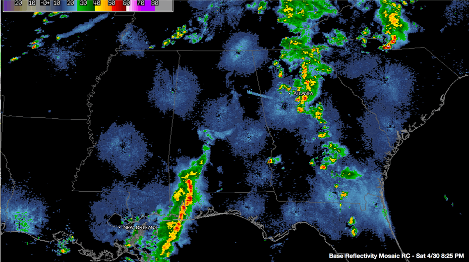
Tonight’s marginal and slight severe weather threat is over for Central Alabama as the area of thunderstorms has weakened as it lifted northeast into our part of the state.
Right behind it, what appears to be a wake low has developed. This feature is causing winds to gust to nearly 30 mph in spots.
Winds gusted to 28mph at Tuscaloosa and Birmingham just before 8 p.m.
Areas along and south of I-59 will see the best chance of the gusty winds.
Wake lows are caused by sinking air which descends in the wake of the weakening of a complex of storms. They often cause heat bursts in the Plains, which are characterized by strong winds, rapid drops in dewpoints and substantial rises in temperatures.
Nothing like that here tonight, but some gusty winds.
It looks like rain will be limited to areas south of areas from Selma to Montgomery.
Category: Alabama's Weather, Severe Weather
About the Author (Author Profile)
Bill Murray is the President of The Weather Factory. He is the site's official weather historian and a weekend forecaster. He also anchors the site's severe weather coverage. Bill Murray is the proud holder of National Weather Association Digital Seal #0001 @wxhistorianSubscribe
If you enjoyed this article, subscribe to receive more just like it.


