

Brief Update on Central Alabama Weather at 3:00 PM
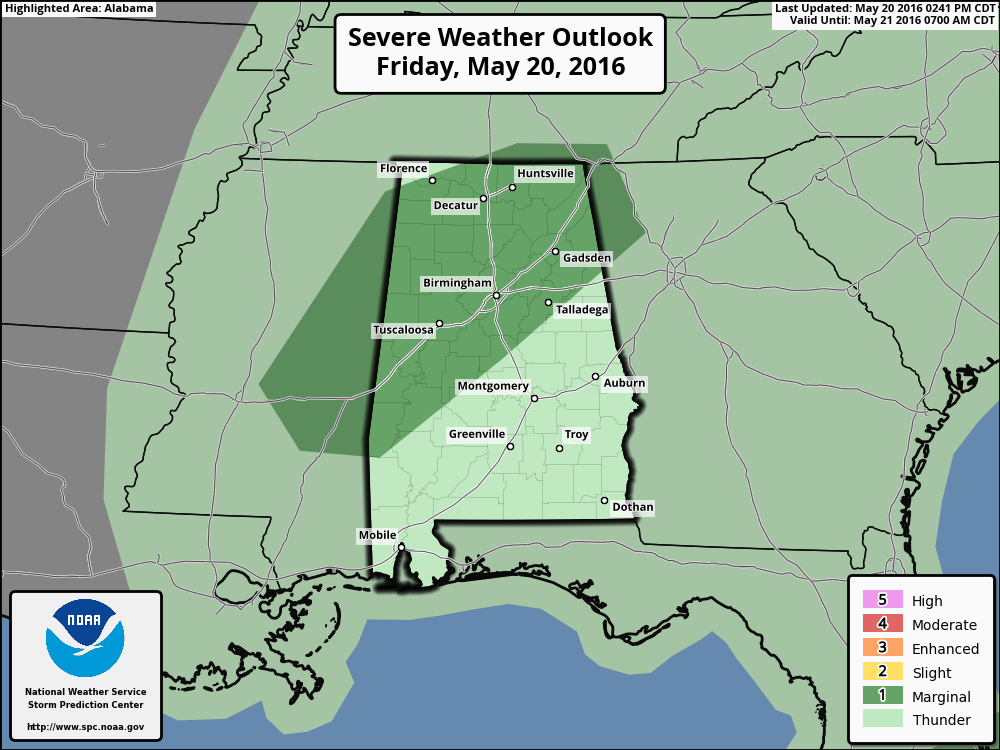
The SPC has now updated their severe outlook for the rest of the day, and they have decided to place two-thirds of northwest Alabama under a “Marginal Risk” for severe storms.
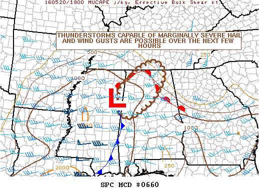
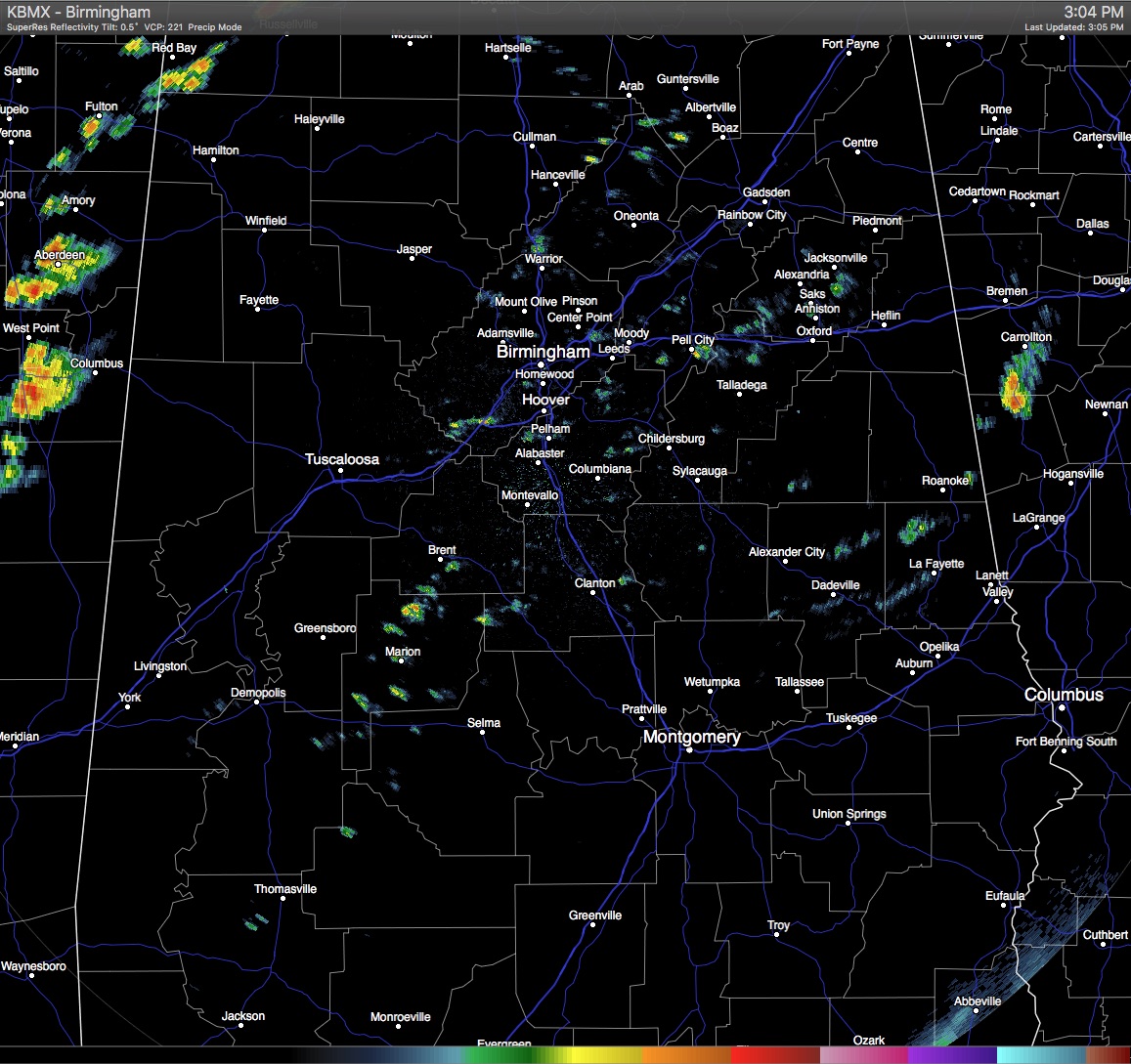
With the sun that has been shining in the northwestern parts of the state, destabilization has occurred over the last few hours. Showers and thunderstorms that have developed over in eastern Mississippi have been deepening and strengthening, and they will be moving into the western counties of Alabama within the next 30-60 minutes. Dew points at the surface are now in the mid to upper 60s, and combining that with lift from a shortwave trough approaching the state, there is a risk of a few strong thunderstorms this afternoon and evening. There is enough low level and deep level shear to support rotating cells that could be capable of some strong gusty winds, and a low-end threat of a tornado. Once the sun goes down this evening, the threat is expected to subside.
Category: Alabama's Weather, Severe Weather
About the Author (Author Profile)
Scott Martin is an operational meteorologist, professional graphic artist, musician, husband, and father. Not only is Scott a member of the National Weather Association, but he is also the Central Alabama Chapter of the NWA president. Scott is also the co-founder of Racecast Weather, which provides forecasts for many racing series across the USA. He also supplies forecasts for the BassMaster Elite Series events including the BassMaster Classic.Subscribe
If you enjoyed this article, subscribe to receive more just like it.


