

Scattered Showers/Storms Through Mid-Week
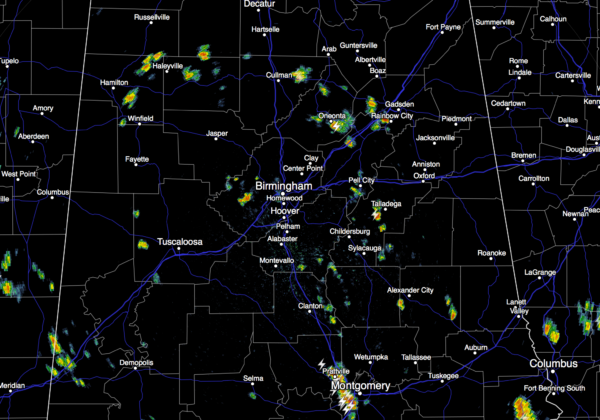
RADAR CHECK: As expected, we have the classic case of scattered, random showers and thunderstorms across Alabama this afternoon with very little movement.
Heavier storms are over far South Alabama, where NWS Mobile issued a severe thunderstorm warning for Escambia County at 3:12 p.m.
Showers and thunderstorms will settle down later tonight after the sun goes down. Away from the shower, temperatures are generally in the mid 90s this afternoon; Birmingham reached 96 degrees at 3:00… that is the hottest temperature recorded so far this year.
TOMORROW/WEDNESDAY: We expect scattered to numerous showers and storms on both of these days thanks to a weak upper trough drifting in from the west. We all know with summer storms rain distribution is very uneven, and we sure can’t promise rain for everyone, but many communities should see a decent downpour or two. While the best chance of showers and thunderstorms will come during the afternoon and evening hours, we can’t rule out a late night or morning shower. Heat levels will come down a bit, with highs between 88 and 92 degrees for most places on these days.
THURSDAY/FRIDAY: Showers and storms should become fewer in number thanks to warmer air aloft and a building ridge; the sky will be partly sunny both days with highs up in the 90s. Expect widely scattered, mostly afternoon and evening showers and thunderstorms.
THE ALABAMA WEEKEND: Still getting good signals from global models that a nice surge of drier air works into our state, meaning mostly sunny days, fair cooler nights, and lower humidity levels Saturday and Sunday. Highs will be in the 86-90 degree range, with lows well down in the 60s. Cooler spots have a good chance of visiting the 50s early Sunday morning. And, the dry air should mean no scattered showers or storms to deal with.
NEXT WEEK: Forecast confidence drops early in the week due to model inconsistency, but moisture levels will slowly rise, and at some point we will need to bring back the risk of scattered showers and storms, maybe even as early as Monday. And, heat levels rise as well with highs going back in the 90s. See the Weather Xtreme video for maps, graphics, and more details.
TROPICS: All is quiet, and tropical storm formation is not expected through the week across the Atlantic basin.
AT THE BEACH: We project about 5 to 7 hours of sunshine each day this week from Gulf Shores to Panama City Beach; scattered showers and storms remain possible on a daily basis. Highs will be mostly in the 80s, with low 90s possible inland. See a very detailed Gulf Coast forecast here.
WEATHER BRAINS: Don’t forget you can listen to our weekly 90 minute netcast anytime on the web, or on iTunes. This is the show all about weather featuring many familiar voices, including our meteorologists here at ABC 33/40. We will produce this week’s show tonight at 8:30 CT… you can watch it live here.
CONNECT: You can find me on all of the major social networks…
Facebook
Twitter
Google Plus
Instagram
Look for the next Weather Xtreme video here by 7:00 a.m. tomorrow…
Category: Alabama's Weather
About the Author (Author Profile)
James Spann is one of the most recognized and trusted television meteorologists in the industry. He holds the AMS CCM designation and television seals from the AMS and NWA. He is a past winner of the Broadcast Meteorologist of the Year from both professional organizations.Subscribe
If you enjoyed this article, subscribe to receive more just like it.


