

Strong Storms Possible Over North Alabama Tonight
AT MID-AFTERNOON: It is fairly quiet across the great state of Alabama after a big batch of morning rain and storms that moved through western and central counties. Tuscaloosa measured 1.32″, and radar suggested some places near the Tuscaloosa/Greene county line could have received over three inches of rain.
Due to the lingering clouds, temperatures are only around 80 degrees across the central counties of Alabama.
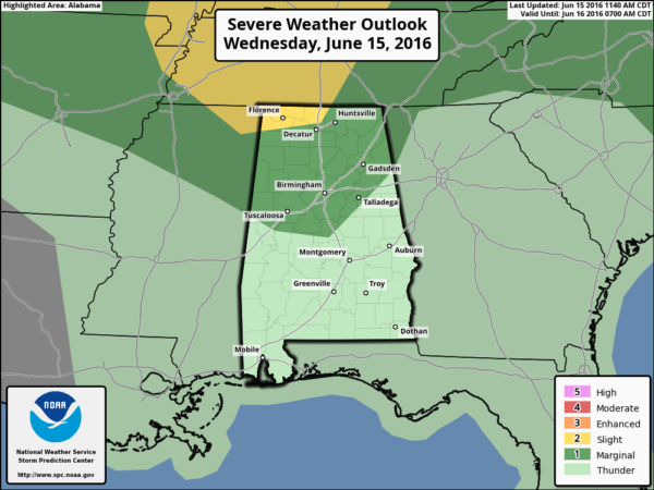
TO THE NORTH: A disturbance is triggering strong to severe storms over northern Tennessee, and those storms will enter North Alabama this evening. SPC now has the northwest corner of the state in the standard “slight risk” of severe weather tonight, with a “marginal risk” down to Birmingham and I-20.
The main threat with the storms early tonight over North Alabama will come from strong, perhaps damaging straight line winds. The storms will weaken as they move south of U.S. 278 and into more stable air over Central Alabama.
TOMORROW/FRIDAY: The heat returns; mid 90s are likely both days with a partly sunny sky. Showers and storms will be fewer in number, but where they form, they could pack a punch with potential for a wet microburst or two since the air will be very unstable during the afternoon hours.
THE ALABAMA WEEKEND: Dry air rolls into the state, setting up some great weekend weather. Expect sunny days, clear cooler nights, and lower humidity Saturday and Sunday with highs in the 80s and lows in the 60s. Cooler spots could easily reach the 50s early Sunday morning.
NEXT WEEK: The weather looks generally dry Monday and Tuesday with a slow warming trend; we will be back in the low 90s by Tuesday afternoon. A few scattered showers and storms return Wednesday through Friday, but it doesn’t look like anything widespread, and highs will be in the low to mid 90s. See the Weather Xtreme video for maps, graphics, and more details.
TROPICS: NHC continues to monitor low pressure near the Yucatan Peninsula; some slow development is possible around the Bay of Campeche this weekend, but global models really don’t show much. The rest of the Atlantic basin is quiet.
AT THE BEACH: About 5 to 7 hours of sunshine tomorrow and Friday from Panama City Beach over to Gulf Shores with a few scattered thunderstorms. Then, for the weekend, mostly sunny weather is likely Saturday and Sunday with only isolated showers or storms. Highs will be in the upper 80s on the immediate coast, with 90s inland. See a very detailed Gulf Coast forecast here.
WEATHER BRAINS: Don’t forget you can listen to our weekly 90 minute netcast anytime on the web, or on iTunes. This is the show all about weather featuring many familiar voices, including our meteorologists here at ABC 33/40.
CONNECT: You can find me on all of the major social networks…
Facebook
Twitter
Google Plus
Instagram
Look for the next Weather Xtreme video here by 7:00 a.m. tomorrow…
Category: Alabama's Weather
About the Author (Author Profile)
James Spann is one of the most recognized and trusted television meteorologists in the industry. He holds the AMS CCM designation and television seals from the AMS and NWA. He is a past winner of the Broadcast Meteorologist of the Year from both professional organizations.Subscribe
If you enjoyed this article, subscribe to receive more just like it.


