

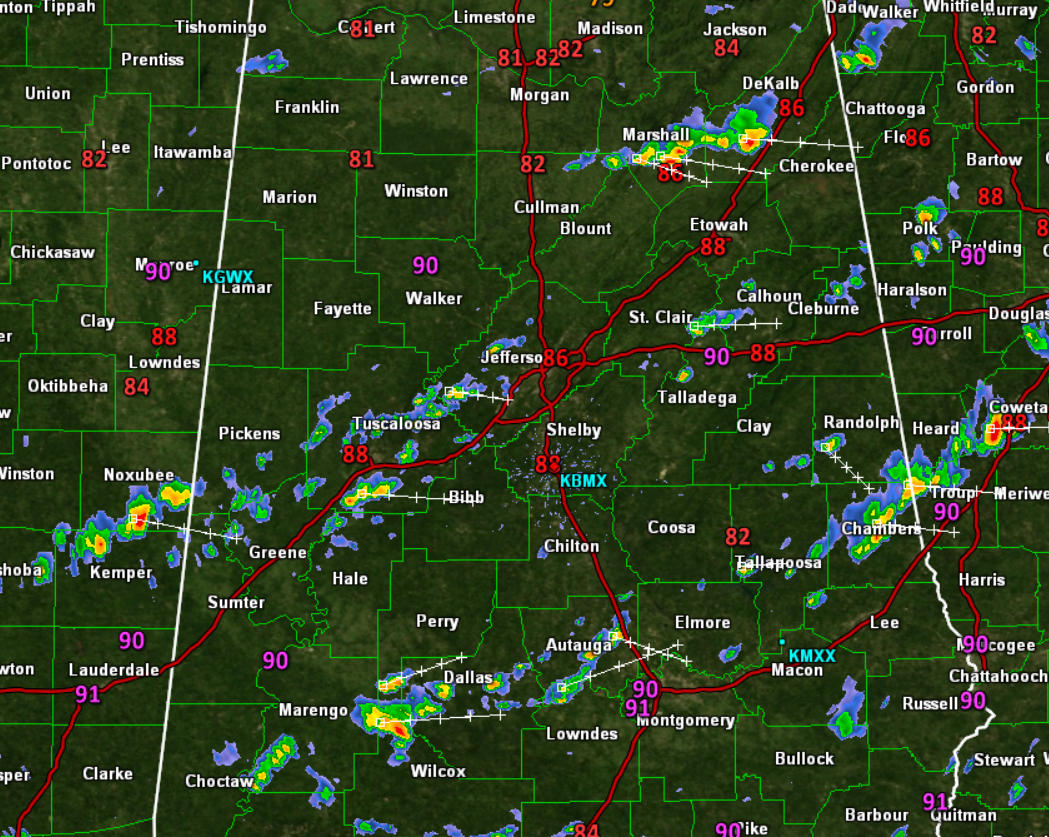
More Scattered Storms this Afternoon
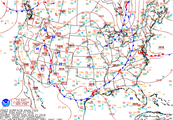
More mugginess today as we are anxiously watching the weak front to our northwest trying to move south. Early this afternoon, the front is located from near Buffalo, New York, southeast into the Tennessee Valley of Alabama. This boundary will continue to sink southward today and overnight, but it is slowing down.
This will be the focal point for the showers and storms we are and will be seeing out there today and this evening. These are tracking towards the east and will persist into the evening hours. They will produce brief heavy downpours, gusty winds, and lots of lightning.
HOW FAR SOUTH WILL FRONT MAKE IT?: The upper-level support for the front will be sliding more east than south, and that will cause the front to stall across Central Alabama tomorrow, and it looks to do that around the Interstate 20 corridor. It is August in Alabama and getting a front to push through the state is very hard. North of the front, expect dry conditions, with humid and scattered showers and storms south of the front tomorrow.
Category: Alabama's Weather
About the Author (Author Profile)
Macon, Georgia Television Chief Meteorologist, Birmingham native, and long time Contributor on AlabamaWX. Stormchaser. I did not choose Weather, it chose Me. College Football Fanatic. @Ryan_StinnetSubscribe
If you enjoyed this article, subscribe to receive more just like it.


