When In Drought, Leave It Out
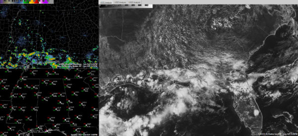
It is always fun to watch the visible satellite light up on summer days as the cumulus field develops. That happened on cue this morning as the convective temperature was reached.
The best moisture is south and west of US-78/280 this afternoon, and that is where the shower development has been so far.
Further south, radars have been busy along the Gulf Coast, where a surface trough has triggered showers and storms all morning.
All of the activity will start weakening around sunset and will be gone by 9 p.m.
Temperatures range from 87F at Calera to 89F at Tuscaloosa and Anniston to 90F at the Birmingham International Airport.
Highs will only rise a degree or two more in most spots. Tuscaloosa has actually reached 91F just before 1 p.m.
The coming week will feature more heat, with high temperatures running some 5-10 degrees above normal, between 90-94F. Showers and storms will be hard to find.
The drought isn’t helping. One forecasting adage pertaining to rain chances is, “When in drought, leave it out.” Unfortunately, we will be leaving them out this week.
Category: Alabama's Weather


