

Gorgeous Sunday, Dry Week Ahead
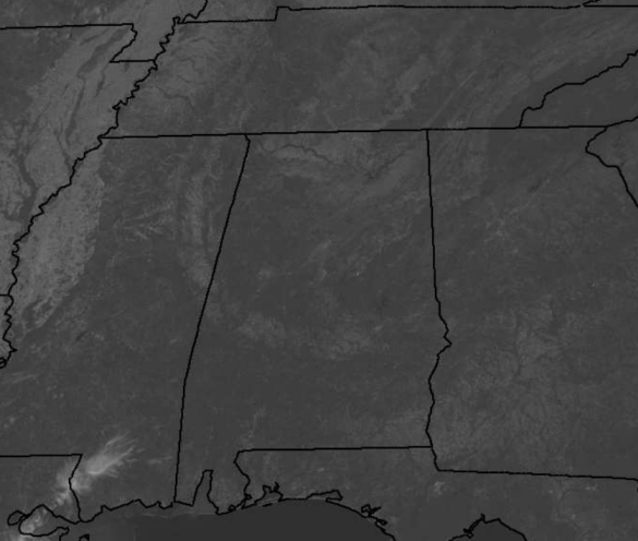
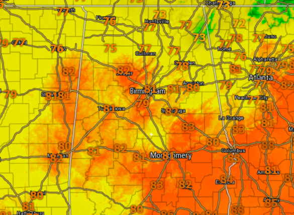
Is there a clouds in the Alabama sky? Well at the writing of this forecast, I am not seeing one. It is a beautiful fall day, just a little warm with upper 70s and lower 80s.
No clouds in the sky means no rain, and that is the only negative to today’s forecast. Dew points are into the 30s in many locations this afternoon, and that means humidity levels are almost non existent by Alabama standards; overall, making it a very, very comfortable day. We continue to see gusty winds out of the northeast ranging from 9-18mph with gust up to 25mph. Very dry and breezy conditions are making for a concern for fires again today.
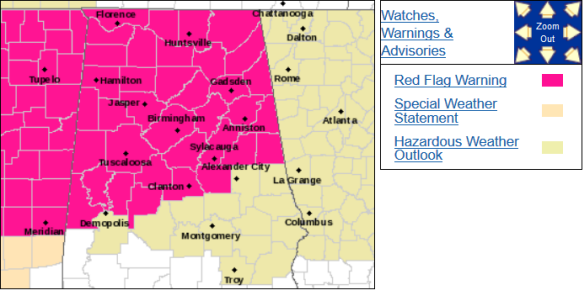
FIRE DANGER: The National Weather Service in Birmingham has issued a red flag warning for dry and breezy conditions, which is in effect until 6 PM CDT this evening. A red flag warning means that critical fire weather conditions are either occurring now due to a combination of strong winds, low relative humidity, and warm temperatures can contribute to extreme fire behavior.
CHILLY NIGHT AHEAD: A very clear, crisp night is ahead with upper 40s and lower 50s for Central Alabama. Terrific weather to throw open the windows and allow Mother Nature to be your thermostat.
THE WEEK AHEAD: It is that time of year where we in Alabama tend to experience our greatest weather, when we see warm afternoons and clear and cool mornings. For this week, that is what is expected, and I know I am shutting off my A/C and opening my windows allowing my home to air out, and letting Mother Nature dictate my indoor temperature. Winds will relax for the new work week, but temperatures will continue to be on average, above seasonal norms for early to mid October. Highs the next few days will range from the upper 70s to lower 80s, but then begin to moderate towards the mid and upper 80s by the second half of the week. Lows will respond the same way with upper 40s and lower 50s through Wednesday, followed by mid and upper 50s to end the work week. Unfortunately, no news is NOT good news when it comes to rainfall chances. There is just not a risk, the next 7-10 days, of measurable rain in the forecast and that is only going to allow drought conditions to worsen throughout the state.
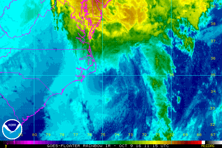
MATTHEW MOVING AWAY: Matthew has also lost its tropical characteristics and has since become post-tropical. Latest update just in from the NHC has the center of Post-Tropical Cyclone Matthew was located near latitude 35.2 North, longitude 72.9 West. The post-tropical cyclone is moving toward the east near 15 mph, and this general motion is expected to continue during the next day or so. On the forecast track, the center of Matthew will move farther offshore of the coast of the North Carolina Outer Banks this afternoon and tonight. Maximum sustained winds are near 75 mph with higher gusts. Gradual weakening is forecast during the next day or so, and the low is expected to be absorbed within a frontal boundary Monday night. The estimated minimum central pressure is 988 mb (29.18 inches).
Category: Alabama's Weather
About the Author (Author Profile)
Macon, Georgia Television Chief Meteorologist, Birmingham native, and long time Contributor on AlabamaWX. Stormchaser. I did not choose Weather, it chose Me. College Football Fanatic. @Ryan_StinnetSubscribe
If you enjoyed this article, subscribe to receive more just like it.


