

Cold Start but Warmer
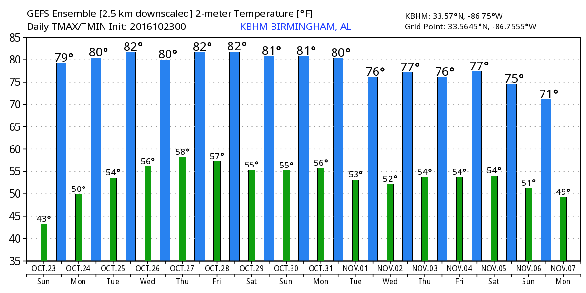
A slightly chillier start to the day for Alabamians with the morning lows dipping into the upper 30s in a number of locations across the northern half of the state. Our Skywatcher at Black Creek reported 30 degrees with frost this morning, the first freeze of the Fall season. Most locations across the northern half of Alabama were around 40 degrees. The sky will remain sunny today and as the upper ridge to our west moves closer we’ll see our afternoon temperatures warm well into the 70s with many locations reaching the upper 70s and few hitting 80.
If you are headed to Talladega today, you can expect a bright sunny sky with warm temperatures. Highs will be near 80 degrees.
And for beachgoers, sunny days along with fair nights are expected along the coast through the week. Highs in the 70s today, and in the lower 80s through much of next week. Lows will be in the 50. See a very detailed Gulf Coast forecast here.
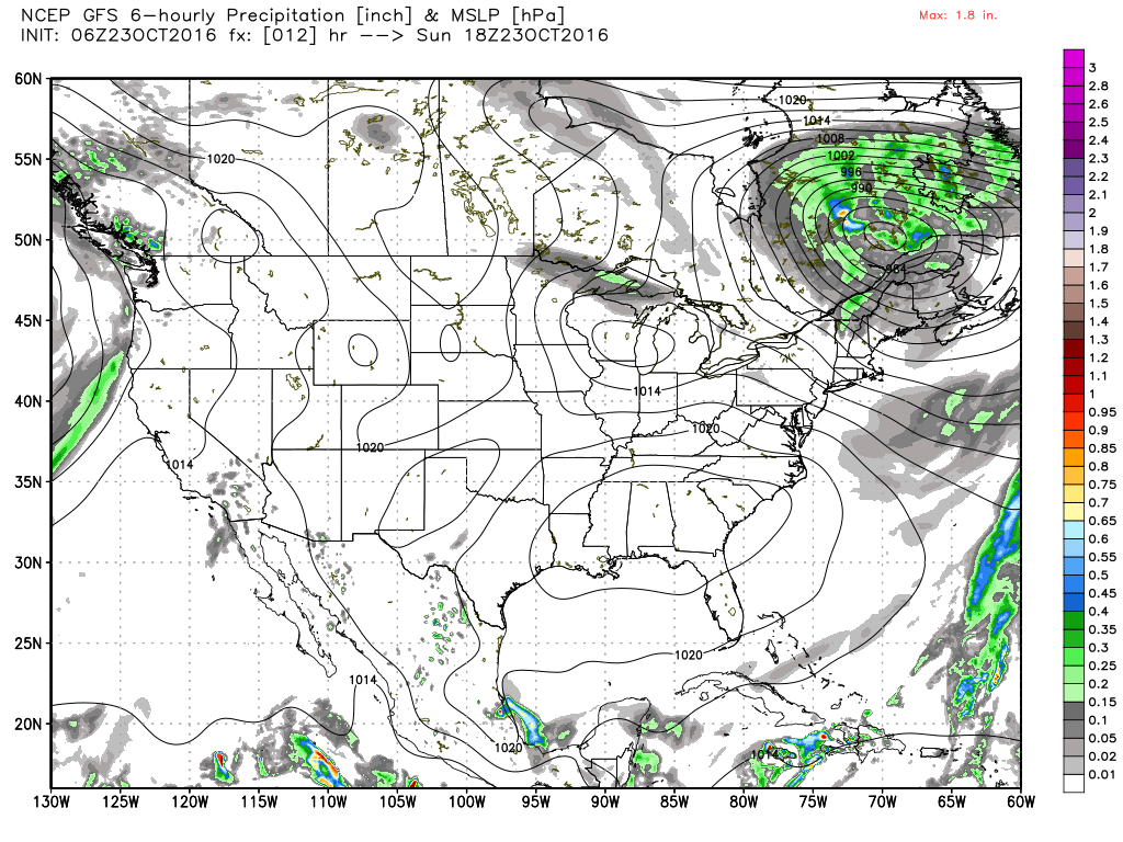
The SPC forecast for the next three days has no areas of organized severe weather. And the Atlantic Basin has gone quiet for now while there is one tropical depression in the eastern Pacific that is expected to remain at sea.
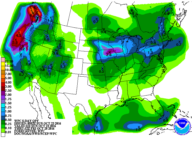
The upper ridge will be the main player in the weather pattern for the first half of the week. A nice short wave will come by on Wednesday and early Thursday teasing us with only very small chances for some scattered showers, but definitely not a drought buster. We’ll see some clouds with this system on Wednesday, but QPD forecasts suggest less than a tenth of an inch for places that do see a shower. Temperatures through midweek should remain near 80 for highs.
After the passage of the short wave, ridging once again becomes the pattern for the end of the week and into the weekend. The ridge will slowly be dampened down by strong upper troughs moving by well to our north as the main storm track stays across southern Canada. Without any real change to the upper pattern for the upper pattern into the weekend, look for highs to stay close to the 80-degree mark with lows in the 50s.
As we move out into week 2 or voodoo country, the upper ridge grows very strong in response to the development of a very deep trough over the western third of the US. The trough depends and comes eastward around the 5th of November. This pattern has the look of what could become a fairly substantial round of severe storms. We’re dealing very far into the future, so we’re looking primarily at trends. If this pattern develops as the GFS suggests, the Lower Mississippi River Valley and the Southeast US could be in for some pretty rough weather, so we will need to monitor future model runs to see how this system plays out. And by the 7th of November, the GFS has another strong upper trough coming out of the Central Rockies into the Central Plains states promising another round of storms for election day.
I enjoyed filling in for Meaghan Thomas last night on ABC 3340 as she nurses her voice back to full capacity. I will be at Vulcan Aftertunes today from about 1 to 5 pm, so come by and share the music and say hello. James Spann will be back with the next edition of the Weather Xtreme Video on Monday morning. Enjoy this absolutely glorious Fall day. Godspeed.
-Brian-
Category: Alabama's Weather
About the Author (Author Profile)
Brian Peters is one of the television meteorologists at ABC3340 in Birmingham and a retired NWS Warning Coordination Meteorologist. He handles the weekend Weather Xtreme Videos and forecast discussion and is the Webmaster for the popular WeatherBrains podcast.Subscribe
If you enjoyed this article, subscribe to receive more just like it.


