

The Waiting Game
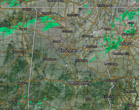
Our temperatures are warming today as southerly winds are increasing and our flow off the Gulf of Mexico is allowing our moisture levels to increase. That will play into the forecast later tonight. For now and into the evening hours, our weather remains rather quiet and we are not expecting much action during the daylight hours. We are seeing mainly cloudy conditions, and there are a few breaks in the cloud cover. There have been a few light showers across Central Alabama today, but nothing too intense.
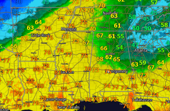
Now depending on your location in the state, will determine your temperature. Across South and Southwest Alabama 70s are surging north, in West Alabama 60s are widespread, but the closer you get to the Georgia border, temperatures are in the 40s and 50s, with 30s holding on in the Atlanta Metro as a cold air damming/wedge is allowing the cold air to stay entrenched there.
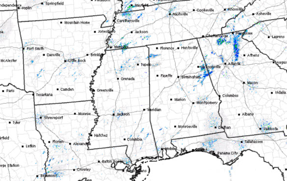
A scan of the Southeast radar shows little convective activity currently, be we should start to see storms develop later this afternoon.
OUR WEATHER SETUP: The Arctic front is over Oklahoma currently and a low pressure along the front and upper level shortwave are allowing for a surge of unstable air into the Southeast as evident of the warmer air and dew points into the 60s into Central Alabama this afternoon. With the unstable air in place, a lifting mechanism due the front and upper-level shortwave, plus some wind shear, everything needed for thunderstorm development is in place.
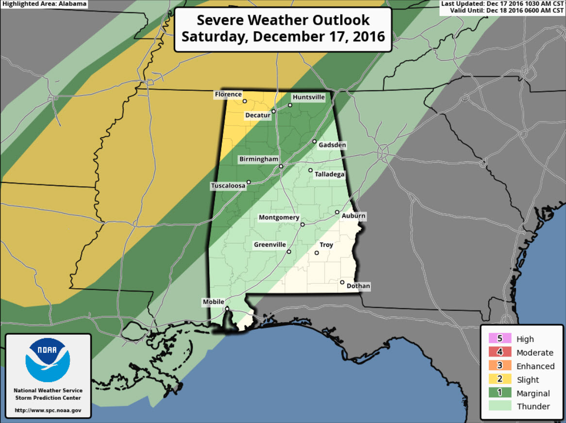
PLACEMENT: The latest convective outlook from the SPC has the “slight risk” area extending farther north into Kentucky now, with only the northwest corner of the state, mainly from Sulligent to about Athens in this risk area. Outside of there, the “marginal risk” extends southeast to approximately the Interstate 59 corridor: Livingston, Tuscaloosa, Birmingham, Gadsden.
TIMING: The main window for the threat for severe weather for the area still appears to be from 10PM tonight through 4AM tomorrow morning. Here is model date output as far as the timing of the leading edge of the storms reaching the Interstate 59 corridor approximately at 4AM Sunday.
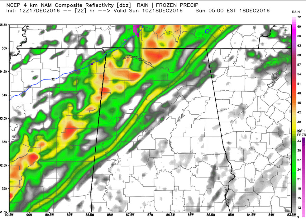
THREATS: As the storms develop to our west, a few discrete supercells are possible, but the overall expectations with this event, will be a QLCS, a squall line. The main threat will come from damaging straight-line winds, but the higher helicity values along the frontal boundary could allow for a few isolated tornadoes embedded within the line. The best dynamics look to remain north of Central Alabama, and the line may very well be losing some of its intensity as it moves into our area, but still enough of a threat for the need to stay weather aware tonight. Rain amounts of 1-2 inches are likely the next 30 hours.
UNPLEASANT SUNDAY: For the most part our Sunday will be a raw, wet, and cold day. The front will be pushing through during the early morning hours so to start the day, it will be raining. As soon as the front passes your location, you’re going to notice a temperature drop, and temps will continue to fall through the day. At 5AM, the front is expected to be between Birmingham and Tuscaloosa with a sharp temperature contrast.
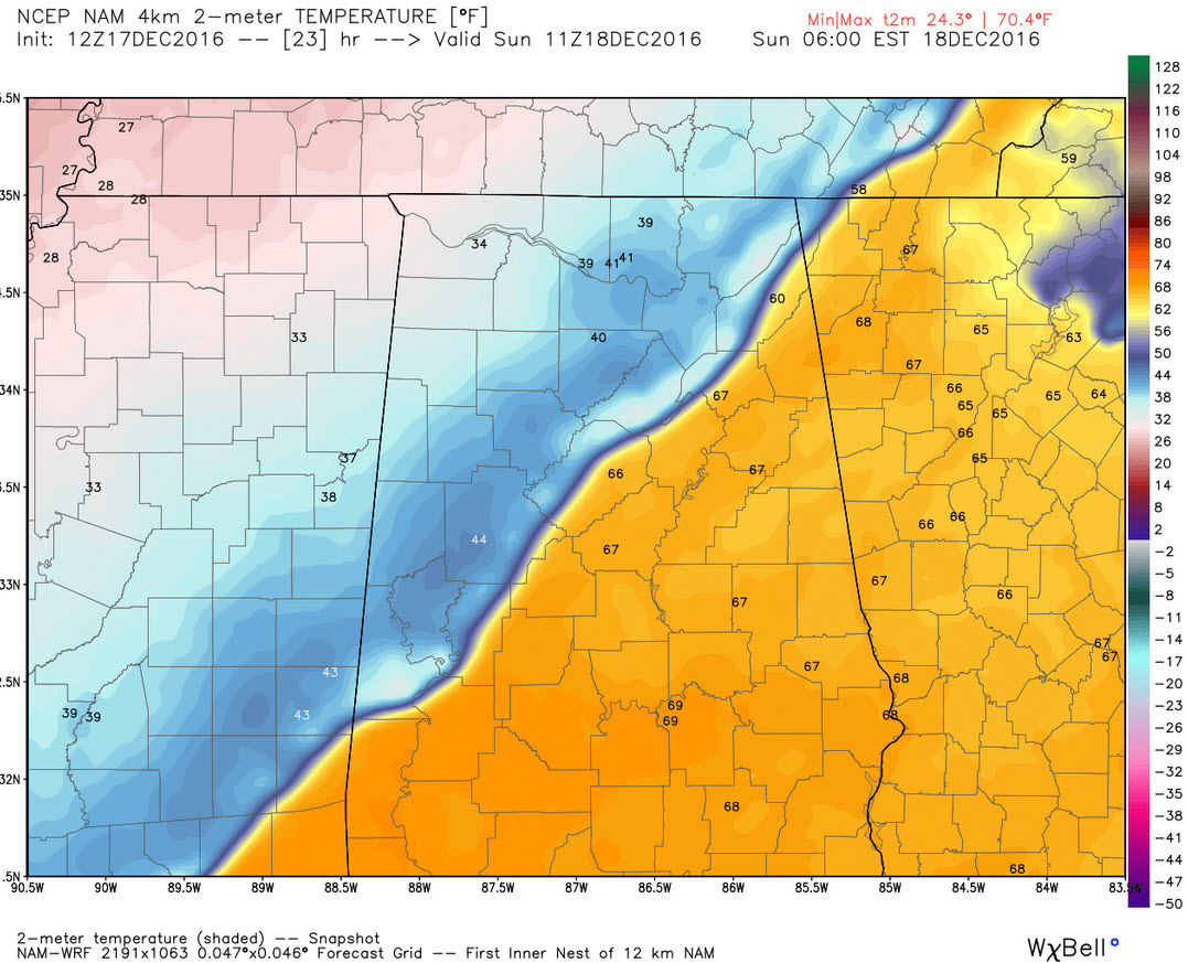
The temperatures through Central Alabama should remain above freezing so wintry precip is not expected to be an issue for most of us. However, in our northern counties, temperatures will be close to freezing in places such as Marion, Winston, and Lamar counties. With rain falling, and temperatures close to freezing, we can not rule out an hour or so of freezing rain in those counties, but this should not last long with little impact as surface and soil temperatures are well above freezing during this time, even if the air temperature at at or just below. Definitely an interesting 24 hours of weather ahead as we are going from one extreme to another in a short span of time, typical Alabama weather.
Category: Alabama's Weather
About the Author (Author Profile)
Macon, Georgia Television Chief Meteorologist, Birmingham native, and long time Contributor on AlabamaWX. Stormchaser. I did not choose Weather, it chose Me. College Football Fanatic. @Ryan_StinnetSubscribe
If you enjoyed this article, subscribe to receive more just like it.


