

A Quick Look at the Wintry Threat for the End of the Week
I have a feeling the European has a good handle on the situation for the end of the week.
It is a classic situation for a winter storm in Alabama, with a developing wave moving eastward along the Gulf Coast and a cold air mass invading Alabama from the north. But in this situation, we don’t have a strong enough surface low or a cold enough airmass to produce a big event.
The European’s solution is very plausible to me. It goes like this:
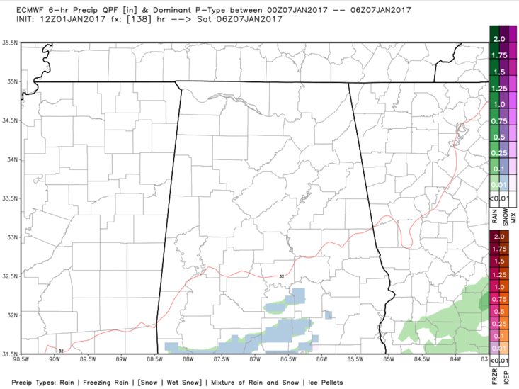
By after midnight Thursday night/Friday morning, rain will be falling across Louisiana and Southwest Mississippi. Some snow will break out over northern Mississippi. It will be very light.
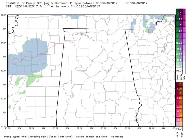
It will move into Northwest and North Central Alabama around or before sunrise. It will be a rain/snow mix further south and snow further north.
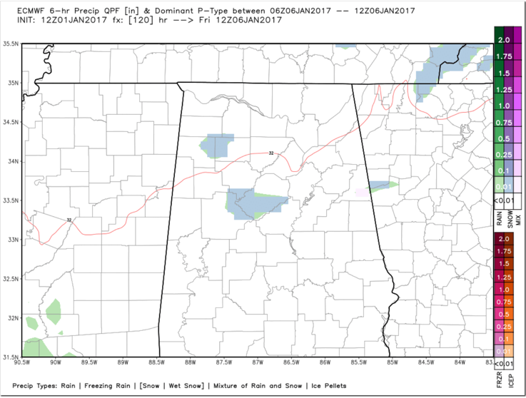
The best chance of a little light snow will be over Northwest Alabama between sunrise and 10 a.m. Friday.
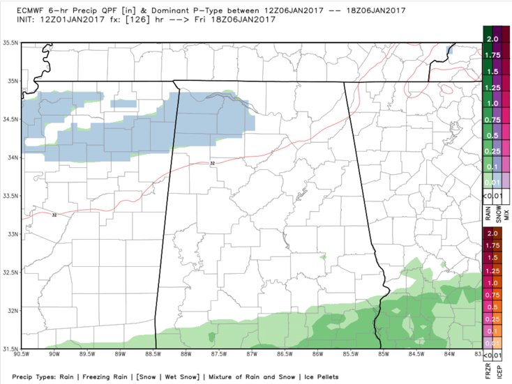
The precipitation is mostly rain by afternoon, over all but extreme Northeast Alabama where it could still be snow.
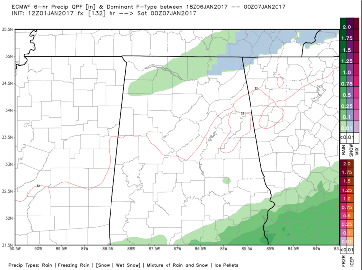
A rain/snow mix may show up over South Alabama after midnight Friday night.
There are the European’s snow totals:
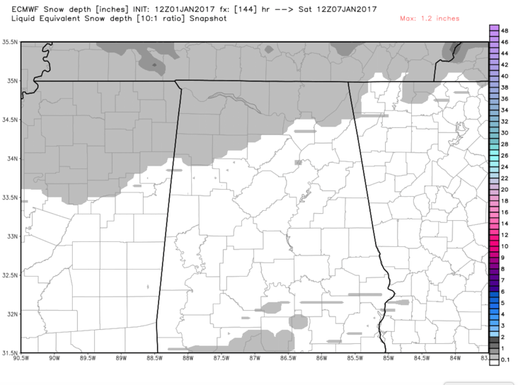
You would see a dusting across parts of Marion and Winston Counties into the Tennessee Valley. With some light dustings over South Alabama on the back side.
This is by no means a forecast, but rather one plausible scenario that beat represents what I think could happen Friday. It would be a low to no impact event winter event for Alabama.
We will have frequent updates on the wintry weather trheat for later in the week and the severe weather threat for tomorrow.
Category: Winter Weather
About the Author (Author Profile)
Bill Murray is the President of The Weather Factory. He is the site's official weather historian and a weekend forecaster. He also anchors the site's severe weather coverage. Bill Murray is the proud holder of National Weather Association Digital Seal #0001 @wxhistorianSubscribe
If you enjoyed this article, subscribe to receive more just like it.


