

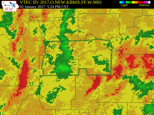
Flash Flood Warning For Lowndes, Autauga, & Montgomery Counties Until 8:30 PM CST
The National Weather Service in Birmingham has issued a
Flash Flood Warning for…
Lowndes County in south central Alabama…
Southern Autauga County in Alabama…
Montgomery County in south central Alabama…
Until 830 PM CST
At 523 PM CST, Doppler radar indicated thunderstorms producing heavy rain across the warned area. Flash flooding is expected to begin shortly.
Some locations that will experience flooding include Montgomery, Fort Deposit, Mosses, Hayneville, Meadville, Pike Road, White Hall, Gordonville, Lowndesboro, Benton, Waugh, Alabama State University, Woodcrest, Ramer, Snowdoun, Lagoon Park, Lowndes County Airport, Dublin, Sellers and Montgomery Riverwalk Stadium.
Additional rainfall amounts of 1-2 inches are possible in the warned area.
Category: Alabama's Weather, Severe Weather
About the Author (Author Profile)
Scott Martin is an operational meteorologist, professional graphic artist, musician, husband, and father. Not only is Scott a member of the National Weather Association, but he is also the Central Alabama Chapter of the NWA president. Scott is also the co-founder of Racecast Weather, which provides forecasts for many racing series across the USA. He also supplies forecasts for the BassMaster Elite Series events including the BassMaster Classic.Subscribe
If you enjoyed this article, subscribe to receive more just like it.


