

At 8PM Across Central Alabama, Rain Is Invading The Area & Will Continue Through Saturday Morning
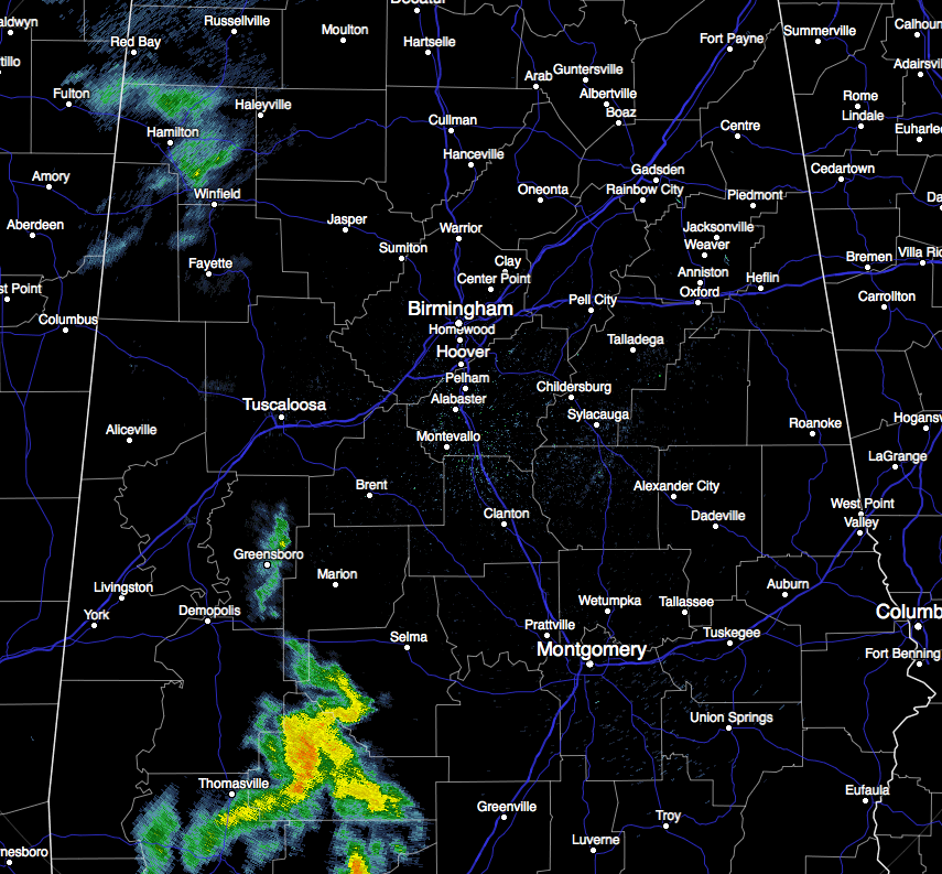
After a very pleasant afternoon across Central Alabama, showers have moved into the area at the 7:30 PM mark. Currently there are some moderate to heavy showers falling over parts of southwestern Alabama and has already moved into the southwestern parts of Central Alabama. Those showers have moved into parts of Dallas, Perry, Hale, Greene, and Marengo counties. These are moving to the north-northeast and will affect the communities of Marion, Selma, Pine Apple, and Greenville shortly.
Light showers are affecting the northwestern parts of the area as well, especially in Marion, Lamar, and Fayette counties. These are also moving to the north-northeast, and will move into Winston and western Walker counties soon.
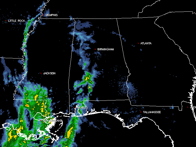
Showers and thunderstorms are currently over the eastern parts of Louisiana and the southwestern parts of Mississippi, with a tongue of moisture back to the north pretty much over the Mississippi River up to Memphis. Another batch of thunderstorms are located over the Texas/Louisiana state line and southward back over the coast. These are slowly moving to the east, with the individual cells moving to the north-northeast. None of these storms are severe, and it is expected to stay that way for the remainder of the event.
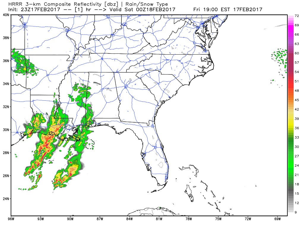
Timing on the rainfall has it approaching the Birmingham metropolitan area sometime between the midnight to 2AM time frame, and possibly out of the Central Alabama area to our north by 11AM to 1PM on Saturday. There may be some redevelopment in the southeastern parts of Central Alabama during the afternoon hours on Saturday, mainly east of I-65 and along and south of I-85. It will mostly be just more showers, but a few rumbles of thunder could be possible. All rain activity should be out of the state by Saturday night between 10PM and midnight (according to the latest NAM-4k model).
Current temperatures at 8:00 PM are mostly in the lower 50s to right at 60º. The warm spot is Birmingham at 60º, with the cool spot being Alexander City at 50º. These temperatures will only drop down to the mid 40s to at or near 50º for overnight lows. Saturday’s highs will mainly be in the lower to mid 60s. A few spots in the northeastern parts may not make it out of the upper 50s, just according to when the rain stops.
Good news for Sunday is that it will be a nice, spring-like day in the middle of February. Skies will become mostly clear by the afternoon, and highs will be in the low to mid 70s across Central Alabama.
Category: Alabama's Weather
About the Author (Author Profile)
Scott Martin is an operational meteorologist, professional graphic artist, musician, husband, and father. Not only is Scott a member of the National Weather Association, but he is also the Central Alabama Chapter of the NWA president. Scott is also the co-founder of Racecast Weather, which provides forecasts for many racing series across the USA. He also supplies forecasts for the BassMaster Elite Series events including the BassMaster Classic.Subscribe
If you enjoyed this article, subscribe to receive more just like it.


