

Atmospheric River Wreaks Havoc in the West
Southwestern California is picking up, cleaning up and drying out after its worst winter storm since March 20, 2011. A strong storm system crashing onshore was accompanied by an atmospheric river that produced amazing rainfall, as well as snowfall in the mountains.
Wait you say, there’s a new weather term I haven’t heard very much. It’s not really new, but its use is. In fact, its not even defined in the American Meteorological Society Glossary yet. The proposed definition defines it as:
A long narrow and transient corridor of anomalously strong horizontal water vapor transport that is typically located in the lowest 3 km of the troposphere and associated with a low-level jet stream ahead of the cold front of an extratropical cyclone. The water vapor in atmospheric rivers is supplied by tropical and/or extratropical moisture sources and atmospheric rivers frequently lead to heavy precipitation where they intersect topographic or other lower-tropospheric boundaries, or enter into the warm-conveyor-belt-related isentropic upward air motion. Atmospheric rivers conduct over 90% of all poleward water vapor transport in the extratropics in less than 10% of the zonal circumference of the globe.
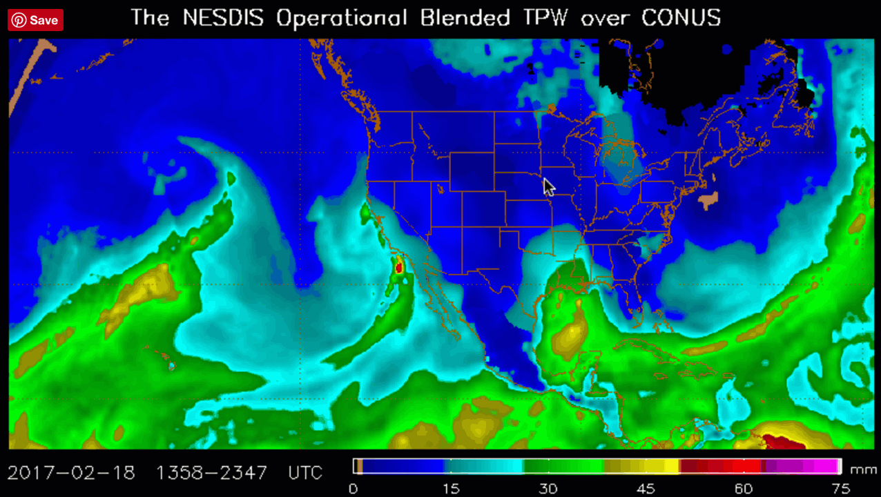
In layman’s terms, it is a firehose of moisture in the low levels of the atmosphere. They can produce tremendous amounts of precipitation, especially when they tap tropical moisture sources.
In California, its been commonly called the Pineapple Express, because the moisture emanated from way out over the Pacific.
A well advertised Atmospheric River took aim on Santa Barbara, Ventura and Los Angeles Counties on Friday. Rainfall totals were more than impressive at most locations. 4.16 inches of rain fell at Santa Barbara, smashing the old record of 2.16 inches set in 1980. The Santa Barbara Airport was closed due to flooding on runways.
The system was accompanied by a strong surface low that produce strong southerly winds Friday. Nearly the entire area experienced gusts to 50 mph. Winds gusted over 60 mph across the higher terrain as well as the Ventura County foothills. There was one fatality reported in Sherman Oaks as a person was electrocuted as a large tree fell on a power line which then fell on some cars. The person died in a hospital a short time later.
There were several reports of flash flooding, debris flows, mudslides, widespread urban and rural
flooding that affected several areas, too many to mention. Nearly nine inches fell in the Santa Ynez Mountain Range. Ventura County received just over 8″ in the mountains and coast and valleys varied from 2.5 to 5 inches with Ojai receiving up to 6.5″. The Los Angeles County mountains received over 5″ while valleys were up to around
2.5 to 3″. Coastal areas in LA county were around 1.5 to 2 inches for the most part.
Downtown LA picked up an impressive 2.04 inches. So far this year, that station at USC has received 18.26 inches of rain, which is 194% of normal! The daily total of 2.04 inches was just short of the record for the date, of 2.18 inches set in 1884.
With all the rain in a relatively short time, rivers and washes filled up rapidly. A few River locations went over
their banks. The freeways were a mess all over Southern California.
Flash flood watches will expire at noon today for southwestern California, but the action has shifted east into the desert areas of California and into Arizona. Flash flood watches are in effect for the Phoenix area, where 1.5 to two inches of rain is expected.
Winter storm warnings are in effect for the Sierra Nevada Mountains, mountains around Las Vegas and the mountains of southeastern Arizona. 10-16 inches of snow are expected to fall in the White Mountains of eastern Arizona.
More rain is forecast for Sunday through Tuesday across Central California as another strong upper level trough moves toward the area. 1-4 inches of rain will fall in the foothills and below the snow line in the Sierra Nevada Mountains, with 20-40 inches of snow in the mountains north of Kings Canyon! This area continues on track to break its all time precipitation record for any water year. There is a long way to go, but the totals are impressive so far!
Category: Headlines
About the Author (Author Profile)
Bill Murray is the President of The Weather Factory. He is the site's official weather historian and a weekend forecaster. He also anchors the site's severe weather coverage. Bill Murray is the proud holder of National Weather Association Digital Seal #0001 @wxhistorianSubscribe
If you enjoyed this article, subscribe to receive more just like it.


