

A Quick Peek At Central Alabama’s Weather At 10PM, Plus The Next 7 Days

It was another beautiful mid-February day across Central Alabama, with above-average temperatures making it a great day to get out around town today. It was a great day down at the Hoover Library for the Wild Weather: Adventures Of Storm Chasers presentation, featuring our own Brian Peters, along with the awesome storm chasers John Brown and Mike Wilhelm. We were able to capture most of the program on Facebook Live on our Alabama Wx Weather Blog Facebook page.
They go into detail about severe weather dangers and what the severe weather process is. They also describe their most memorable storm chases, and the ones where they were not so successful. You also get to learn about the radar and how it scans, and how the beam increases in altitude with distance from the radar. It was a great educational experience. Please click the link to watch the presentation.
Going back to today’s weather, highs were upwards of 10-15 degrees above normal. Here is a list of a few locations with their high temperatures.
Anniston….. 73ºF
Birmingham….. 75ºF
Calera….. 75ºF
Montgomery….. 79ºF
Troy….. 77ºF
Tuscaloosa….. 77ºF (ties old record set in 2011)
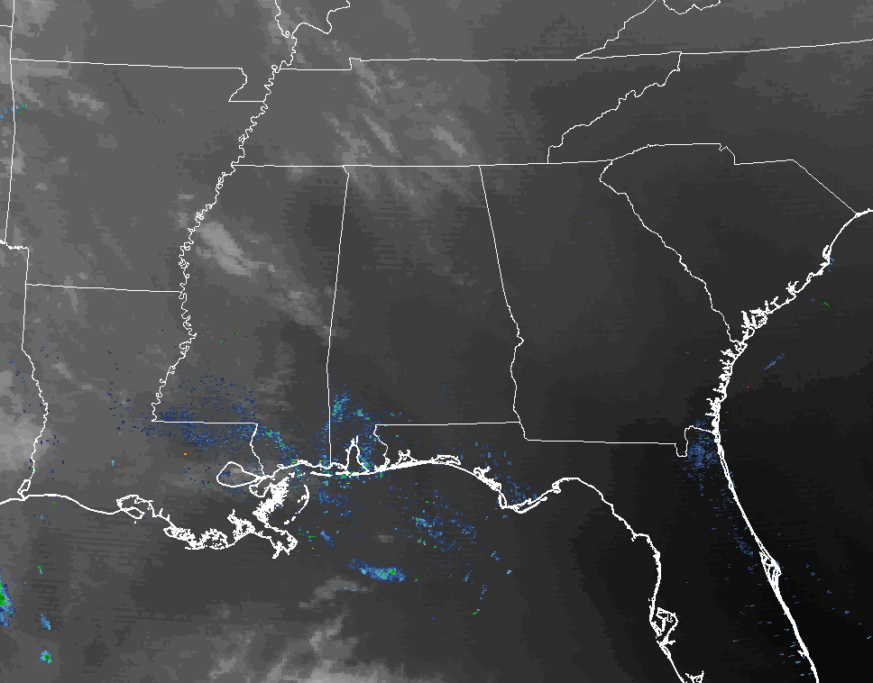
At the 10PM hour, temperatures have cooled off into the upper 40s to the upper 50s across Central Alabama, with mostly clear skies. The cool spot is Pell City at 46ºF, while the warm spot is Montgomery at 59ºF. Overnight lows will fall into the mid 40s to the lower 50s throughout the area. No rain is showing on radar, just some ground clutter down near the Gulf Coast.
Monday will have well above normal warmth thanks to a ridge over the eastern United States. Skies will be mainly sunny throughout the day, with afternoon highs reaching the mid to upper 70s across much of Central Alabama, with a few locations topping 80ºF. Skies will start to creep back into the area during the late night and overnight hours, but we should stay dry until later into the morning hours on Tuesday. Lows will drop down into the upper 40s to the mid 50s.
A trough will move across the ArkLaTex area and down over the Gulf of Mexico during the day on Tuesday, bringing our next chance of rain. Shower chances will be greatest in the western half of Central Alabama for Tuesday and into Tuesday night, but will start to fade as the trough starts to move away after the daybreak hours on Wednesday. Tuesday’s highs will be in the upper 60s to the mid 70s across the area, with lows in the mid to upper 50s. Wednesday’s highs will be warmer, back into the mid to upper 70s across Central Alabama.
A mix of sun and clouds, along with more above-average warmth and dry conditions, as we will be in-between two systems on Thursday through the early parts of the day on Friday. There is a risk of showers and thunderstorms starting during the afternoon hours on Friday and lasting through the evening. The good news is that the threat for severe weather will be well north of our area, so just another system bringing much needed rainfall. Thursday’s highs will be in the upper 70s to the lower 80s across Central Alabama, with Friday’s highs ranging from the lower 70s to the upper 70s.
Skies will clear out for the weekend ahead, and temperatures will be cooler than the previous 5 days. Saturday’s highs will be in the lower 60s to the lower 70s, with high’s on Sunday in the mid 60s to the lower 70s across Central Alabama.
Category: Alabama's Weather
About the Author (Author Profile)
Scott Martin is an operational meteorologist, professional graphic artist, musician, husband, and father. Not only is Scott a member of the National Weather Association, but he is also the Central Alabama Chapter of the NWA president. Scott is also the co-founder of Racecast Weather, which provides forecasts for many racing series across the USA. He also supplies forecasts for the BassMaster Elite Series events including the BassMaster Classic.Subscribe
If you enjoyed this article, subscribe to receive more just like it.


