

Dry Through Tomorrow; Showers Friday
SUNSHINE RETURNS: After a good soaking yesterday, the sky will be mostly sunny across Alabama today with a high close to 70 degrees this afternoon. The front yesterday brought some beneficial rain… totals included 1.77″ at Moody, 1.75″ at Northport, 1.74″ at Concord and Helena, 1.54″ at Mountain Brook, 1.51″ at Trussville, 1.46″ at Black Creek, 1.35″ at Arley, 1.29″ at Chelsea, and 1.22″ at Hayden.
Tonight will be clear and cool; some spots will reach the upper 30s early tomorrow, then, tomorrow will be another mostly sunny and mild day with a high up in the mid 70s.
FRIDAY AND THE WEEKEND: Clouds return to the state tomorrow night, and we will have a chance of showers, and possibly a thunderstorm ahead of an approaching cold front. Seems like the main window for showers will come from roughly 3:00 a.m. until 10:00 a.m. Friday. Moisture will be limited, so rain amounts should be fairly light. Clouds will linger through Friday night, but for now it looks like any leftover showers Friday afternoon and Friday night will be few and far between. The high Friday will be in the 60s.
The surface front will stall out over far North Alabama, and a wave of low pressure will form on the front as the weekend begins west of the state. This will spread rain into Alabama late Saturday, Saturday night, and into early Sunday morning. The wave should move pretty much right over Alabama, meaning no severe weather risk… just a steady, cool rain. The main window for rain over the weekend will be from around 4:00 p.m. Saturday to 8:00 a.m. Sunday. Amounts of around 1 inch are likely; some spots could see more.
Sunday will be cloudy, breezy, and much cooler day with a high only in the low to mid 50s… some places up in the Tennessee Valley won’t get out of the 40s.
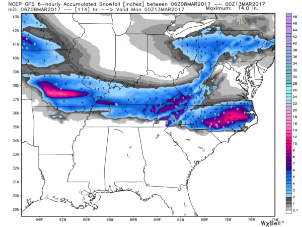
And, while it rains in Alabama, some snow is likely over the weekend just north of here over Kentucky and parts of Tennessee… Nashville even has a chance of accumulating snow Saturday night.
NEXT WEEK: Looks like temperatures will be below average for at least the first half of the week; I would not be surprised if we hit the freezing mark on one or two mornings. For now any precipitation seems to be light and spotty through the week. See the Weather Xtreme video for maps, graphics, and more details.
Click here to see the Beach Forecast Center page. Save Up To 25% on Spring Break Beach Vacations on the Alabama Gulf Coast with Brett/Robinson! The Beach Forecast is partially underwritten by the support of Brett/Robinson Vacation Rentals in Gulf Shores and Orange Beach. Click here to see Brett/Robinson’s best beach offers now!.
WEATHER BRAINS: Don’t forget you can listen to our weekly 90 minute netcast anytime on the web, or on iTunes. This is the show all about weather featuring many familiar voices, including our meteorologists here at ABC 33/40.
CONNECT: You can find me on all of the major social networks…
Facebook
Twitter
Google Plus
Instagram
Pinterest
Snapchat: spannwx
I have a weather program this morning at Pinson Elementary School… look for the next Weather Xtreme video here by 4:00 this afternoon. Enjoy the day!
Category: Alabama's Weather, ALL POSTS
About the Author (Author Profile)
James Spann is one of the most recognized and trusted television meteorologists in the industry. He holds the AMS CCM designation and television seals from the AMS and NWA. He is a past winner of the Broadcast Meteorologist of the Year from both professional organizations.Subscribe
If you enjoyed this article, subscribe to receive more just like it.


