

At 2:00PM, It’s Really Warm Out There In Central Alabama
After spending some time outside with the awesome students and staff of Pizitz Middle School for the launch of their weather balloon, I can tell you this… it is very warm outside. Skies are mostly sunny out there with just a few small clouds floating overhead.

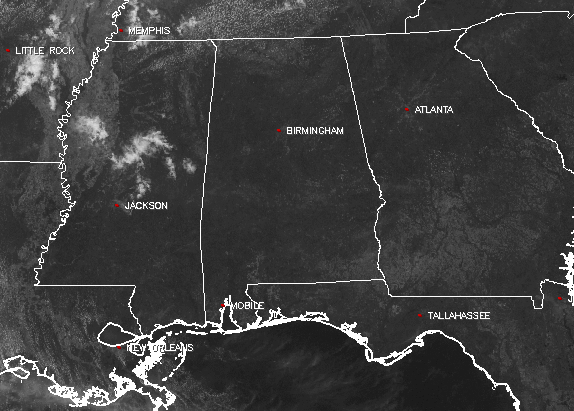
The temperatures at 1:40PM were running throughout the 80s across Central Alabama. The warm spot is currently Montgomery at 89 degrees, while the cool spot is Haleyville at 82 degrees.
Just a quick check on the Pizitz weather balloon, it is currently crossing the Coosa River just to the southeast of Vincent. If everything goes as planned, the place where the payload should land will be near the community of New Site in north/central Tallapoosa County within the next 90 to 120 minutes.
Mostly clear skies can be expected for the remainder of the daytime hours, and afternoon highs will be in the upper 80s to the lower 90s. Skies will continue to be mostly clear with temperatures in the lower to mid 80s at the 7PM hour, and falling into the upper 50s to the mid 60s for the overnight lows. Clouds will start to move in after 2AM, making the skies partly cloudy.
We’ll have a mix of sun and clouds for the daytime hours on Thursday, and temperatures will continue to be very warm. Afternoon highs will be in the mid 80s to the lower 90s. Those partly cloudy skies will continue into the evening hours, and we will introduce a risk for a few showers over the western parts of Central Alabama. Temperatures will be in the lower to mid 80s at the 7PM hour, and dropping into the lower to mid 60s for the overnight lows.
BEACHBOUND
If you would like to see what the weather holds for Ft. Morgan over to Panama City Beach, click here to see the Beach Forecast Center page. Save Up To 25% on Spring Break Beach Vacations on the Alabama Gulf Coast with Brett/Robinson! The Beach Forecast is partially underwritten by the support of Brett/Robinson Vacation Rentals in Gulf Shores and Orange Beach. Click here to see Brett/Robinson’s best beach offers now!
THIS DAY IN WEATHER HISTORY – May 10, 1988
Thunderstorms produced hail and high winds over the Atlantic Coast Region and the Gulf Coast States marking the end of a five day episode of severe weather associated with a cyclone tracking out of the Great Basin into southeastern Canada.
Category: Alabama's Weather, ALL POSTS
About the Author (Author Profile)
Scott Martin is an operational meteorologist, professional graphic artist, musician, husband, and father. Not only is Scott a member of the National Weather Association, but he is also the Central Alabama Chapter of the NWA president. Scott is also the co-founder of Racecast Weather, which provides forecasts for many racing series across the USA. He also supplies forecasts for the BassMaster Elite Series events including the BassMaster Classic.Subscribe
If you enjoyed this article, subscribe to receive more just like it.


