

A Chance To Dry Out
REFRESHING MORNING: It feels more like fall early this morning across Alabama… check out these temperatures at daybreak…
Valley Head 50
Black Creek (just northeast of Gadsden) 51
Scottsboro 52
Russellville 52
Cullman 53
Heflin 56
Gadsden 57
Anniston 58
Bessemer 58
Center Point 59
Birmingham 60
Tuscaloosa 60
Up north, Hazen, North Dakota reports a frosty 37 degrees at 5a CT.
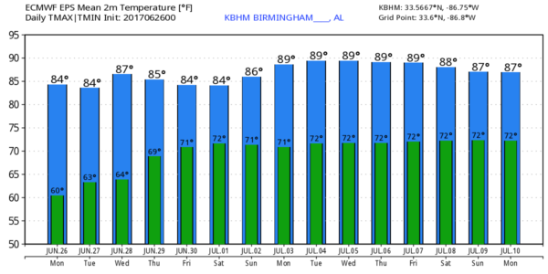
Today will be mostly sunny and pleasant; the high will be in the mid 80s with low humidity.
TONIGHT/TOMORROW: A disturbance coming down the back side of the upper trough over the eastern U.S. will bring some clouds into Alabama tonight, and it could squeeze out a few light showers over the far northern counties of the state early tomorrow morning. Most of the state will stay rain-free, however, and tomorrow will be partly to mostly sunny with a high in the upper 80s.
Dry weather continues Wednesday with a good supply of sunshine and a high back in the upper 80s.
THURSDAY/FRIDAY: A southerly flow will bring moist air back into the state, and we will need to bring back the chance of scattered showers and thunderstorms, mostly during the afternoon and evening hours. Coverage of the showers and storms should be a tad more numerous Friday, otherwise a mix of sun and clouds both days with highs in the mid 80s.
THE WEEKEND/FOURTH OF JULY HOLIDAY: Looks like fairly routine summer weather Saturday through Tuesday. Partly sunny, humid days with the daily round of “scattered, mostly afternoon and evening showers and thunderstorms. Understand these showers and storms will be rather random, and there is no way of knowing exactly when and where they pop up. The chance of any one spot getting wet will be in the 30/40 percent chance each day, and most of the showers and storms will come between 2 and 9 p.m.
Not much change is expected for the rest of next week with a moist airmass in place; highs will be mostly in the mid to upper 80s. No sign of any excessive heat issues for Alabama for the next 10-15 days.
TROPICS: All is now quiet across the Atlantic basin, and tropical storm formation is not expected through the week.
BEACH FORECAST: Click here to see the AlabamaWx Beach Forecast Center page. The Beach Forecast is partially underwritten by the support of Brett/Robinson Vacation Rentals in Gulf Shores and Orange Beach. Click here to see Brett/Robinson’s Own Your Summer specials now!
WEATHER BRAINS: Don’t forget you can listen to our weekly 90 minute netcast anytime on the web, or on iTunes. This is the show all about weather featuring many familiar voices, including our meteorologists here at ABC 33/40.
CONNECT: You can find me on all of the major social networks…
Facebook
Twitter
Google Plus
Instagram
Pinterest
Snapchat: spannwx
Look for the next Weather Xtreme video here by 4:00 this afternoon… enjoy the day…
Category: Alabama's Weather, ALL POSTS, Weather Xtreme Videos
About the Author (Author Profile)
James Spann is one of the most recognized and trusted television meteorologists in the industry. He holds the AMS CCM designation and television seals from the AMS and NWA. He is a past winner of the Broadcast Meteorologist of the Year from both professional organizations.Subscribe
If you enjoyed this article, subscribe to receive more just like it.


