

A Few Active Storms Out There As We Approach 8:30 PM
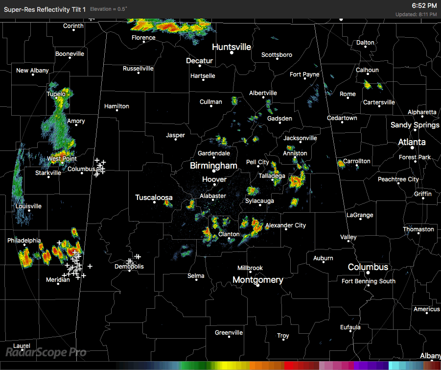
Radar at 8:15 PM shows most of the scattered storm action in the western half of the state, with a few scattered storms in the eastern half. The best looking storm in Central Alabama at this time is over the extreme southern parts of Lamar County and into the extreme northern parts of Pickens County. This storm is not severe, but heavy downpours and copious amounts of cloud-to-ground lightning are occurring. It is moving to the southeast and will affect Reform, Carrollton, and Gordo shortly. Please go indoors when this storm approaches. We have already had 2 deaths and 1 injury related to lightning strikes within the past few days. When thunder roars, go indoors.
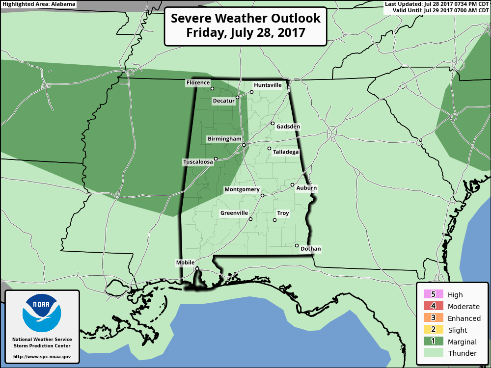
SPC has reduced the overall marginal risk for severe weather to include the western half of North/Central Alabama. Surface-based instability and low-level lapse rates are still elevated enough that a few storms with marginally severe wind gusts of 60 MPH or more will be possible.
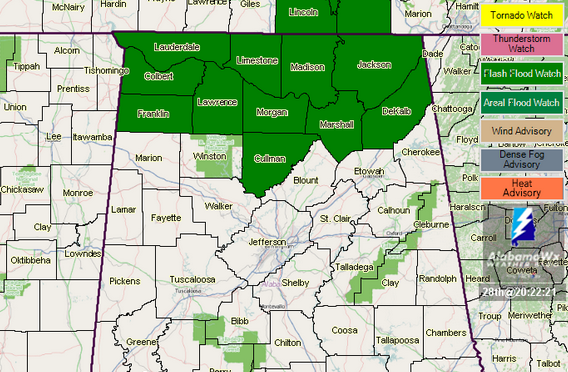
The good news is that the NWS office in Birmingham decided to cancel the Flash Flood Watch that was in effect until midnight tonight, but the watch for all of the Alabama counties in the NWS Huntsville office continues until 9:00 PM. That watch will most likely be allowed to expire.
Category: Alabama's Weather, ALL POSTS
About the Author (Author Profile)
Scott Martin is an operational meteorologist, professional graphic artist, musician, husband, and father. Not only is Scott a member of the National Weather Association, but he is also the Central Alabama Chapter of the NWA president. Scott is also the co-founder of Racecast Weather, which provides forecasts for many racing series across the USA. He also supplies forecasts for the BassMaster Elite Series events including the BassMaster Classic.Subscribe
If you enjoyed this article, subscribe to receive more just like it.


