Midday Peek
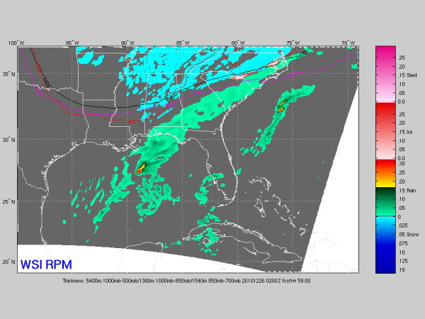
Here is the output of the 15Z RPM valid Saturday evening at 8:00…
Still looks like nothing more than a dusting to 1/2 inch for much of North-Central Alabama… snow will be a little later that initially forecast, with the change coming later in the afternoon into Saturday night after rain during morning. Most of the snow will come as a result of the upper forcing due to the trough, not from a Gulf low at the surface. And, there might be a little convective type snow shower activity Saturday night.
No major winter storm at all, as we have been discussion here all week, but there is some chance the ground might go white, giving a little hope for the first measurable snow on December 25 on record. Won’t be much, but it will be interesting to see how it goes.
Will have the full discussion and Weather Xtreme video posted by 3:30 this afternoon.
Category: Alabama's Weather


