

1230 pm update
Very complex weather situation over the entire eastern part of the country today, with powerful storm system coming out of Plains states, and some possible interaction with Gulf disturbance causing flooding and some tornadoes along the Gulf Coast.
Around here, clouds have broken up enough to allow the sun to come out, with temperatures rising through the upper 70s in central Alabama.
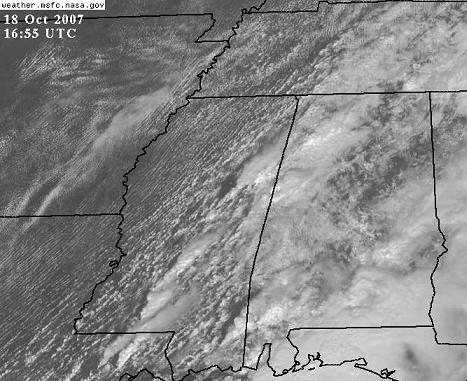
NOAA is running rapid-scan satellite observations today (high-resolution visible imagery every 7 minutes or so). Click here for interactive satellite.
A band of showers and thunderstorms, not severe right now, has formed from NW AL back into eastern MS. With dewpoints rising near or above 70, expect thunderstorm activity to increase once temperatures make it to 80.
There is enough wind shear across central Alabama now that thunderstorms this afternoon could pose an isolated tornado threat. But, the best dynamics will move SE tonight. The highest threat for tornadoes still appears to be from west TN northward, but tornadoes will remain possible here tonight, and expect a Tornado Watch. Damaging straight-line winds may become a widespread threat tonight also, so be sure to keep those NOAA Weather radios on standby mode.
Category: Uncategorized
About the Author (Author Profile)
Subscribe
If you enjoyed this article, subscribe to receive more just like it.


