Showers/Storms Ahead of Schedule A Bit
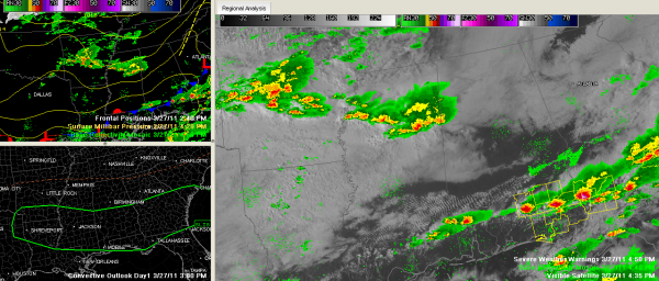
Showers and thunderstorms developed eastward rapidly over the past three hours or so ahead of a passing upper level disturbance and are now entering West Alabama’s Lamar County.
They are lined up now from Clarksdale to Grenada to West Point and moving eastward at 45 mph.
A strong storm was near Starkville, where lightning has been observed on lightning detection systems.
They are entering Lamar County in Alabama now, near Vernon. This cell will be all the way into Walker County within an hour. The Starkville cell will be into Pickens County within the hour as well.
Heavy rain, gusty winds and some lightning will accompany the storms. There have been some warnings back in Arkansas due to severe hail, and that isn’t out of the question here either. The SPC still has that slight risk area for a little more than he southern half of the state of Alabama.
Category: Alabama's Weather, Severe Weather


