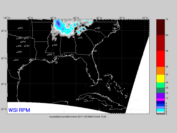
Snow Projection
Brian will be along shortly with a long discussion and Weather Xtreme video, but here is the 09Z RPM snow accumulation output…
We have seen wild and varied looks from global models, but this mesoscale model is probably the most reliable to use at this point. Any snow accumulation should be generally north of I-20, mostly light, and mostly on grass. I don’t think we have any travel issues due to the very warm ground and surface temps above freezing.
The best chance of snow will come late tomorrow night into Tuesday morning… about midnight to 9:00 a.m.
But again, cold core ULLs always bring surprises, and I fully expect a few with this one. Stay tuned…
Category: Alabama's Weather


