A Sunny Sunday
Temperatures have been struggling upwards all day across Central Alabam, trying hard to get out of the 30s. It looks like a few thermometers will succeed, but not by much, and many won’t.
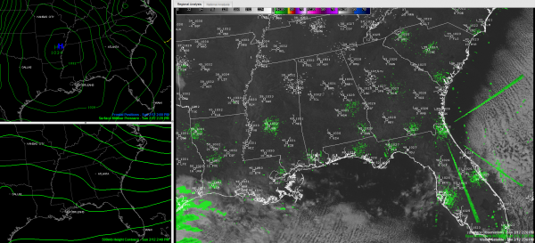
It won’t be the sun’s fault, as totally clear skies are allowing our famous star to do its durndest to warm up things. This morning’s high clouds are now near the Gulf Coast and the nearest clouds to the state otherwise are part of a low deck of stratus over southeastern Oklahoma. Some thicker clouds extend from Dallas to Houston.
These clouds will start to arrive here overnight, but with calm conditions as high pressure moves overhead, the mercury will drop like a rock again, reaching the lower 20s in most spots. A few spots will see teens again.
Skies will become completely cloudy on Monday morning, and radars will start to light up over western Alabama by afternoon. But much of the precipitation won’t reach the ground for a little while, and then it could start as sleet. There could be a little snow mixed with the rain through the evening hours before the precipitation changes over to all rain after midnight. Lows will be in the 30s tomorrow night. Travel problems are not expected.
Winter weather advisories and winter storm watches are in effect through tomorrow evening for areas to the northwest of Alabama, including western Tennessee for areas along and northwest of I-40 (not including Memphis). 1-4 inches of snow could impact these areas.
Category: Alabama's Weather, Winter Weather


