

8:15 Notes – Winter Storm Watch Expanded
We continue to pore over information coming into the Weather Office tonight concerning tomorrow’s well advertised snow event. The models started picking up on this thing last weekend, and it seems to be panning out tonight.
Here are my thoughts shortly after 8:
Rain will change to snow tomorrow from west to east starting in the morning.
The timing looks like this:
…9 a.m. : A line from Haleyville/Fayette/Tuscaloosa/Demopolis. West of that it could start as early as 6 a.m.
…Noon: A line from Holly Pond to Pell City to Billingsley. This would put the changeover in the Birmingham area around 10:30-11 a.m.
…1:30: Gadsden to Anniston to Alex City. Areas east of there after that.
The noon run of the GFS expanded the area of 1″+ snow a little further south. That is in very good agreement with the morning run of the European. The NWS Birmingham added Greene, Hale, Perry and Sumter Counties to the Winter Storm Watch.
A Winter Storm Watch means conditions are favorable for winter weather conditions to develop. Like a tornado or severe thunderstorm watch. For the Birmingham NWS area means there is a 50% or greater confidence that the area could receive 2 or more inches of snow.
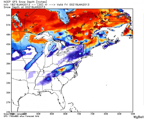
Here is the latest forecast snow depth chart for 6 p.m. tomorrow night from the GFS model:
Zooming in a little closer:
Areas inside a polygon in Alabama from Hamilton to Huntsville eastward to the Georgia border southward to Roanoke then westward to Sylacauga and Butler should see 1/2 to 1 inch of snow.
Most of this snow will accumulate on grassy areas and roofs.
Slightly heavier snow, between 1-2 inches should fall in a polygon from Sulligent to Decatur to Bridgeport to Heflin to Pell City to the Birmingham Metro on to Reform in Pickens County.
in this area, most of it will accumulate on roofs and grassy areas as well. But where the heavier snow sets up, it may fall fast enough to accumulate on roads, especially bridges and overpasses.
Finally, 2-3 inches of snow looks possible for areas from Cullman to Scottsboro to Centre to Springville to Locust Fork. Here snow may have a chance to accumulate on roads. Some spots in this zone may well see 4 or more inches.
Of course, we are basing this on the best model data that we have tonight. The track of the upper level low and the cold air aloft it is bringing will determine where the heaviest snowfall may fall. That cooling will happen on the back side of the moisture as it is departing, so there will be a narrow window (less than four hours) for snow to fall.
We will have to watch where the heaver snow sets up on radar during the morning and then we can fine tune the forecasts. It will be interesting. And there certainly will be some surprises…and disappointments.
Category: Alabama's Weather, Winter Weather
About the Author (Author Profile)
Bill Murray is the President of The Weather Factory. He is the site's official weather historian and a weekend forecaster. He also anchors the site's severe weather coverage. Bill Murray is the proud holder of National Weather Association Digital Seal #0001 @wxhistorianSubscribe
If you enjoyed this article, subscribe to receive more just like it.


