

Tropical Storm Chantal Forms
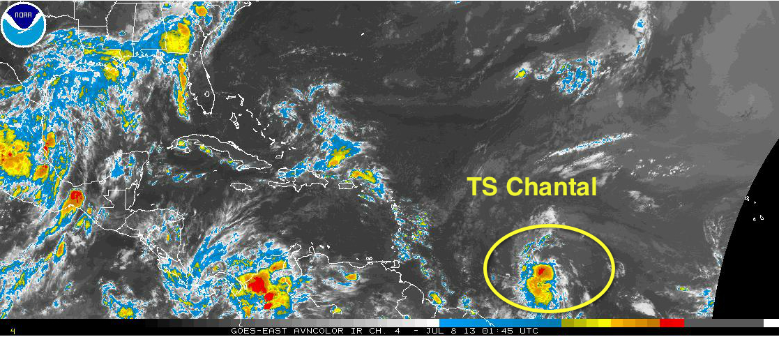
The strong tropical wave east southeast of the Windward Islands has developed a circulation and is being classified as Tropical Storm Chantal. Advisories are being initiated.
It will move across the Lesser Antilles tomorrow night and will move into the eastern Caribbean early on Tuesday. Tropical storm warnings have been issued for Barbados, Dominica and St. Lucia. A tropical storm watch is in effect now for St. Vincent.
By Tuesday night, it will be about 200 miles south of Puerto Rico. This track will keep it south of higher wind shear and it is over warm water, so intensification is likely. By Tuesday night it will have top winds of 65 mph. It should move over Haiti late Wednesday, weakening as it does.
Here is the official forecast track:
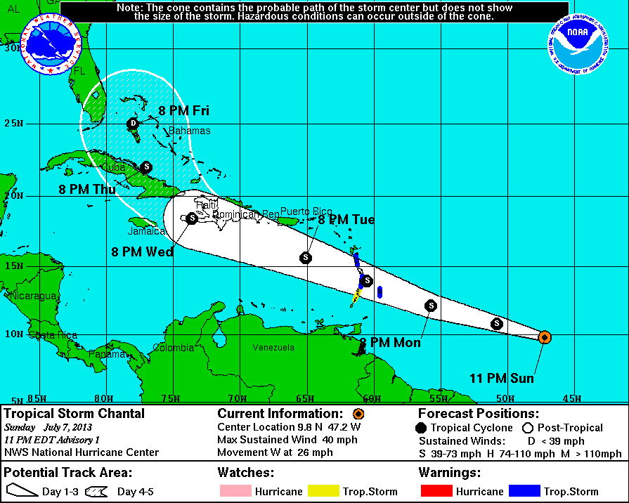
As it traverses the mountainous terrain of Hispaniola and Cuba, Chantal may weaken to a remnant low. If it holds together, it will approach the Bahamas east of Florida by late Friday.
Category: Tropical
About the Author (Author Profile)
Bill Murray is the President of The Weather Factory. He is the site's official weather historian and a weekend forecaster. He also anchors the site's severe weather coverage. Bill Murray is the proud holder of National Weather Association Digital Seal #0001 @wxhistorianSubscribe
If you enjoyed this article, subscribe to receive more just like it.


