

Chantal Update
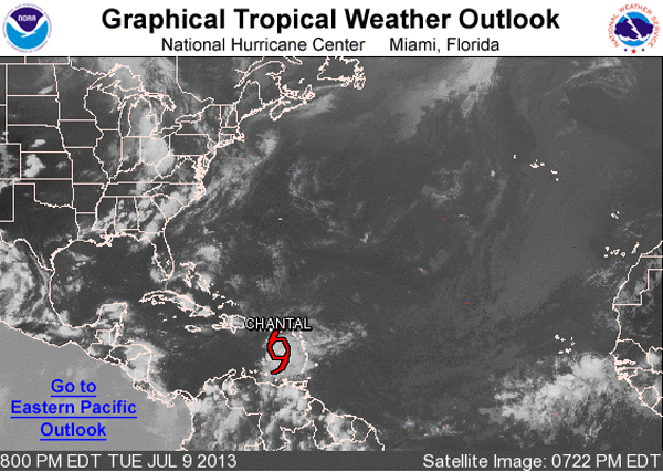
Over the course of the day, Chantal has continued to move quickly across the northeastern Caribbean Sea. The pressure inside the storm has remained constant so strengthening has been minimal. Here are the latest observations on Chantal from the National Hurricane Center.
SUMMARY OF 800 PM AST…0000 UTC…INFORMATION
———————————————-
LOCATION…15.4N 64.9W
ABOUT 220 MI…360 KM SSE OF SAN JUAN PUERTO RICO
ABOUT 395 MI…635 KM ESE OF SANTO DOMINGO DOMINICAN REPUBLIC
MAXIMUM SUSTAINED WINDS…65 MPH…100 KM/H
PRESENT MOVEMENT…WNW OR 295 DEGREES AT 26 MPH…43 KM/H
MINIMUM CENTRAL PRESSURE…1006 MB…29.71 INCHES
Now where is she heading, lets take a quick look at the NHC official track where we are able to see all the watches and warnings across the islands of the Caribbean.
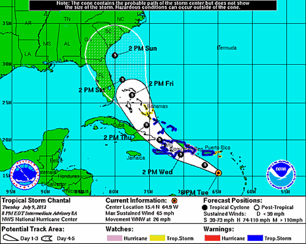
A quick look at all the models’ tracks, shows there is pretty descent agreement on where Chantal is heading. Most of the models bring it across Hispaniola and north through the Bahamas to where she is more than likely will be off the east coast of Florida this weekend. It will be interesting to see how the mountainous terrain of Hispaniola affects both the intensity and track of Chantal. Once she emerges back into the water, then will we begin to have a better understanding of where she could be heading.

Category: Tropical
About the Author (Author Profile)
Macon, Georgia Television Chief Meteorologist, Birmingham native, and long time Contributor on AlabamaWX. Stormchaser. I did not choose Weather, it chose Me. College Football Fanatic. @Ryan_StinnetSubscribe
If you enjoyed this article, subscribe to receive more just like it.


