

0z NAM and RPM Still Consistent with Forecast
The evening run of the NAM model doesn’t make the thinking change at all.
Here are a couple of graphics I wanted to share.
This is the 4km NAM simulated radar at 3 a.m. CST:
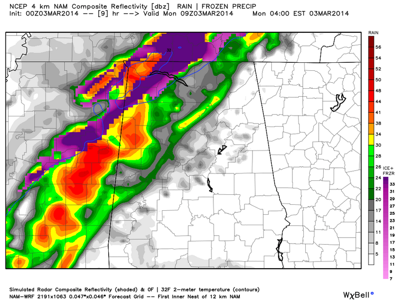
You can see some freezing rain over the northwestern counties of the state, including the northwestern part of Marion County. This bears out the forecast for freezing rain as colder air moves into that part of the state.
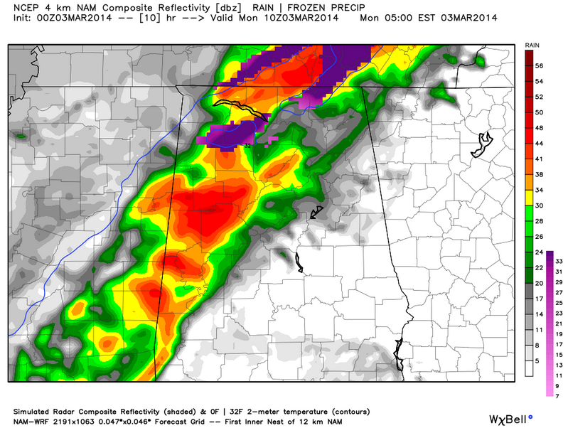
An hour later you can see some freezing rain over northern Winston County into Lawrence County.
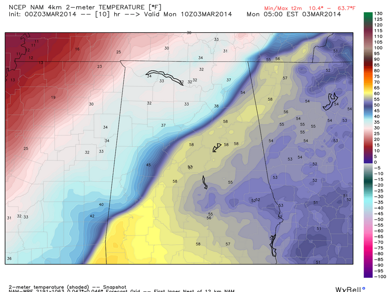
Here are the temperatures at that time. You can see the cold front clearly in the I-59 corridor.
The 4km NAM’s accumulated precipitation by type:
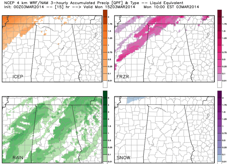
Of course, this shows little freezing or frozen precip in Lamar Fayette and WAlker COunties, which are in the winter weather advisory, but not so fast.
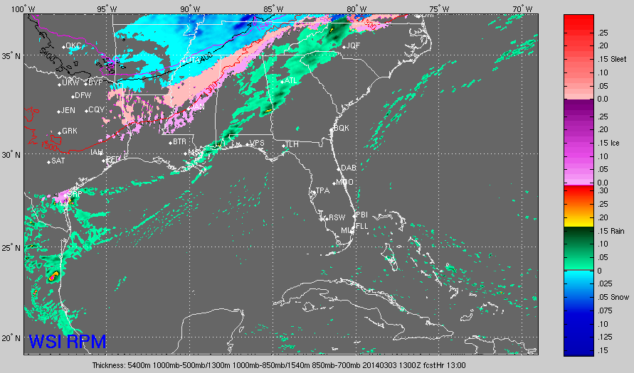
Here is the latest RPM model output, which still shows more freezing rain a little further south, over the rest of the advisory area:
It is hard to believe that we are even having this conversation with a p.m. temperature of 67F at BHM.
2 LATE NOTES FROM TENNESSEE
…Ice is starting to accumulate in the Nashville area.
…Serious icing is occurring in western Tennessee. Recent reports include limbs cracking in Millington, serious road problems in Tipton County with 0.50 inches of ice accumulation and lots of reports of several inches of sleet.
…Sleet mixing with rain, thunder and lightning. Ice accumulating on tree limbs now. North Jackson near I-40 exit 83.
Category: Alabama's Weather, Winter Weather
About the Author (Author Profile)
Bill Murray is the President of The Weather Factory. He is the site's official weather historian and a weekend forecaster. He also anchors the site's severe weather coverage. Bill Murray is the proud holder of National Weather Association Digital Seal #0001 @wxhistorianSubscribe
If you enjoyed this article, subscribe to receive more just like it.


