

Midday Update
The latest day one convective outlook from the SPC continues to have much of northwestern Alabama in a slight risk for severe weather. This risk is a bit misleading and may give the false impression of a threat of sever weather during the day today. Because the risk is valid until 7AM Friday morning, and we expect storms to arrive after midnight, but before 7AM, the risk is accurate. Most of today will be fine for Alabama. We expect a mix of sun and clouds, breezy southerly winds, with warm afternoon temperatures. There may even be a few scattered showers develop throughout the afternoon.
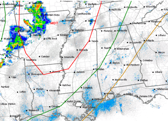
The risk area, outlined in green, includes locations north and west of a line from near Livingston, to Tuscaloosa, north to Cullman, and then east of Huntsville. Some of the cities included are Jasper, Fayette, Hamilton, Muscle Shoals, Florence, Athens, Vernon, Double Springs, Moulton, and Decatur.
THE PLAYERS: This is one of those classic spring-time severe weather set-ups for the country. An upper-level trough over the Rockies is ejecting out into the Plains today and will provide ample upper-level support for convection. At the surface, an area of low pressure is lifting north from Oklahoma towards the Great Lakes. This low will be enhancing uplift and shear within the risk area. The low will also swing a cold front east into a warm and moist air mass (fuel for the storms), also enhancing uplift. Daytime heating will help the atmosphere destabilize today by increasing instability. All these parameters coming together have and will continue to set the stage for a severe weather outbreak for the Mississippi Valley today.
PARAMETERS FOR ALABAMA: Instability over the state will be sufficient for severe weather in Alabama as CAPE values are forecast to be around 750 J/kg. The front moving through will ensure uplift as well. However, the main limiting factor for Alabama is the placement of the low pressure. For a widespread outbreak for Alabama, the low needs to be closer to Memphis, Tennessee, and not Kansas City, Missouri. Because of the low’s track with this event, the better dynamics, shear and uplift, will be well to the north and west of Alabama for this event. That certainly is great news!
THREATS: With all that being said, there is still a bit of a severe weather threat for Alabama from this event. Heading into the overnight hours, the cold front will catch up to the convection and most of the discrete supercells will merge into a squall line. This line of storms will move into Alabama during the morning hours and will pose a threat of damaging straight-line winds. Heavy rain, some hail, and tornadoes are possible within this line. However, as mentioned above, the better dynamics for severe weather are the farther north you go. The best threat for severe weather in the state will be over the Tennessee Valley of Alabama. As the storms enter Alabama, and with the better dynamics lifting towards the north, we will likely see storms slowly weakening as the push across the state. This doesn’t mean they will not pack a punch, but they will not be as severe as there were coming across Mississippi earlier in the night.
TIMING: The bulk of the activity will move into the state well after midnight tonight, and actually the last few model runs suggest it could be closer to 4 of 5 AM before the line reaches Alabama. This can be tricky, as sometimes squall lines can advance faster, but I do think the worst of the weather will hold off until at least 2 or 3 AM. For locations in Central Alabama, I think we begin to see the line of storms approaching Tuscaloosa, Jasper, and Cullman around 6AM, Birmingham closer to 7 AM, and then locations in east Alabama 8 -10AM. For your Friday morning commute, it could be quite messy and you will certainly need to check weather and road conditions before heading our the door in the morning.
The front will continue to push off to the southeast throughout the day Friday and we will have to watch areas in our southeastern counties for some redevelopment after daytime heating allows instability to increase. A few isolated severe storms will be likely, and the SPC has portions of Alabama outlined in a risk for severe weather on Friday.
Category: Alabama's Weather, Severe Weather
About the Author (Author Profile)
Macon, Georgia Television Chief Meteorologist, Birmingham native, and long time Contributor on AlabamaWX. Stormchaser. I did not choose Weather, it chose Me. College Football Fanatic. @Ryan_StinnetSubscribe
If you enjoyed this article, subscribe to receive more just like it.


