

Showers Thin Out Tomorrow
An all new edition of the ABC 33/40 Weather Xtreme video is available in the player on the right sidebar of the blog. You can subscribe to the Weather Xtreme video on iTunes by clicking here.
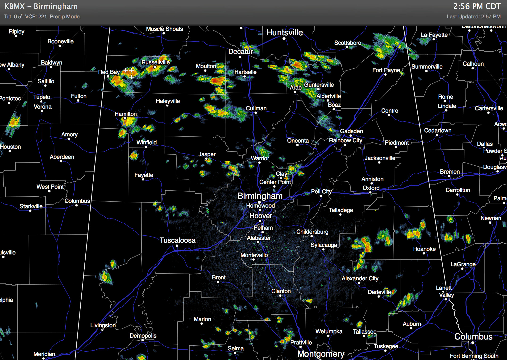
RADAR CHECK: It is the classic case of “scattered, mostly afternoon and evening showers and thunderstorms” across Alabama today.
Showers are moving southeast, and they will fade away once the sun sets later this evening. Temperatures are generally in the 80s.
TOMORROW: An upper high (5880 meters at 500 mb) will nose into Alabama from the west, and should keep most of the state dry. However, we will still mention the risk of isolated afternoon showers, with the best chance coming over the eastern half of the state. We warm into the upper 80s.
THURSDAY/FRIDAY: A cold front will approach the state from the north, and we expect to see an increase in showers and storms initially over North Alabama Thursday afternoon. Some of the storms will be strong, with potential for gusty winds and some hail. The front will stall out over North Alabama, and we will need to keep a chance of scattered showers and storms going on Friday as well. Afternoon highs on these two days will be in the 87 to 90 degree range.
OUR WEEKEND: The front will dissipate Saturday, and we will roll with the routine summer forecast… partly sunny with the risk of an afternoon shower or thunderstorm in spots. The GFS continues the idea that Sunday will be mostly dry as the upper high west of the state creeps back in here. We project a high in the upper 80s Saturday, and close to 90 Sunday.
NEXT WEEK: Another cold front will approach from the north, so the chance of showers and thunderstorms will increase Monday. See the Weather Xtreme video for the maps, graphics, and details.
NO 90 SO FAR: Still no 90 degree high for Birmingham this year (based on official data from the airport). Average date of the first 90 degree high is May 23… latest 90 degree high was on July 1, 1983.
AT THE BEACH: Look for increasing amounts of sunshine and fewer showers tomorrow through the weekend; highs will be in the 80s, and water temperatures are mostly in the upper 70s along the Central Gulf Coast from Panama City to Gulf Shores.
WEATHER BRAINS: Don’t forget you can listen to our weekly 90 minute netcast anytime on the web, or on iTunes. This is the show all about weather featuring many familiar voices, including our meteorologists here at ABC 33/40.
CONNECT: You can find me on all of the major social networks…
Facebook
Twitter
Google Plus
Instagram
Look for the next Weather Xtreme video here by 7:00 a.m. tomorrow…
Category: Alabama's Weather
About the Author (Author Profile)
James Spann is one of the most recognized and trusted television meteorologists in the industry. He holds the AMS CCM designation and television seals from the AMS and NWA. He is a past winner of the Broadcast Meteorologist of the Year from both professional organizations.Subscribe
If you enjoyed this article, subscribe to receive more just like it.


