

Occasional Showers; Drier Next Week
An all new edition of the ABC 33/40 Weather Xtreme video is available in the player on the right sidebar of the blog. You can subscribe to the Weather Xtreme video on iTunes by clicking here.
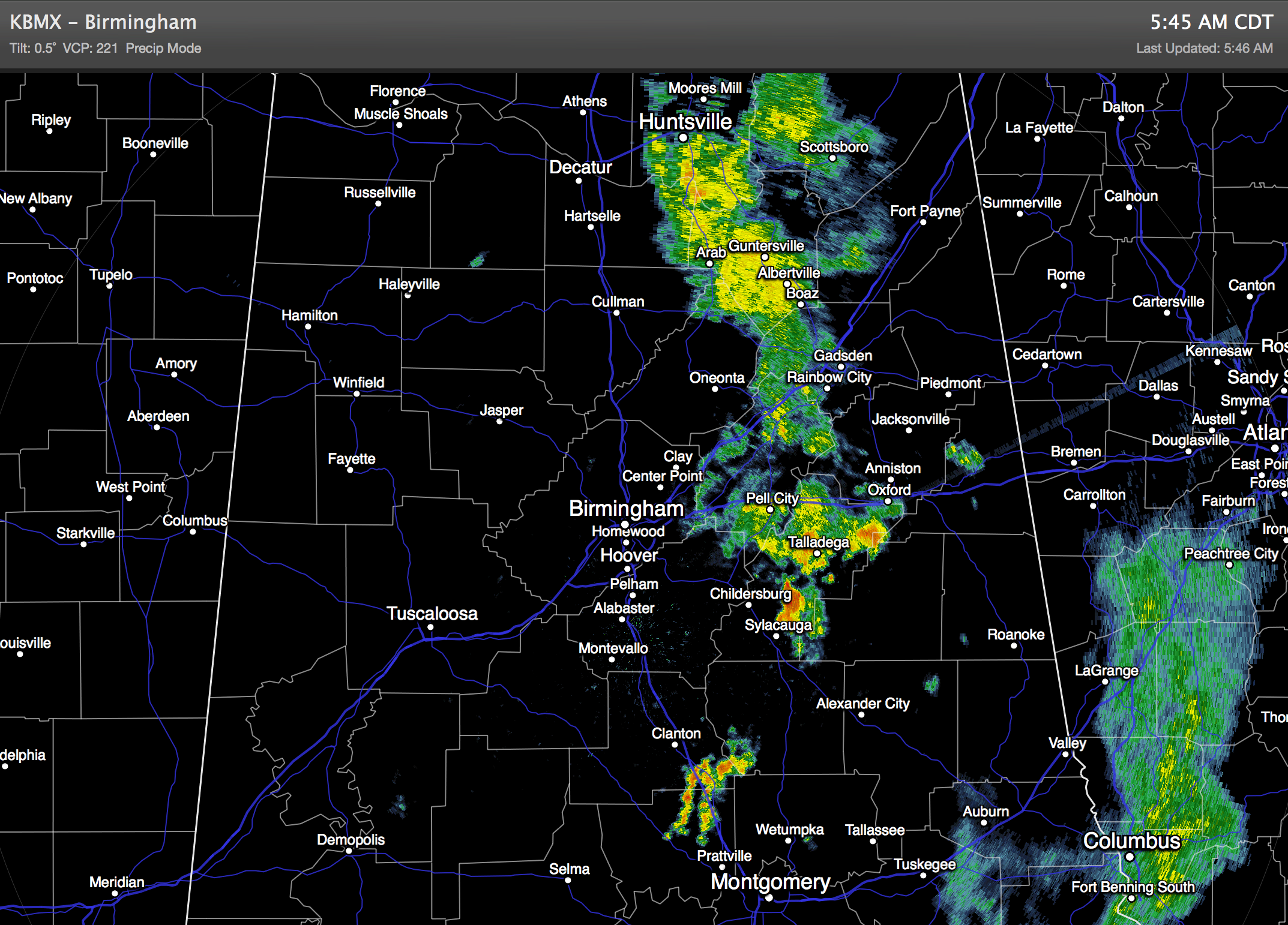
SOGGY PATTERN CONTINUES: At daybreak a band of showers is moving through East Alabama… this will be in Georgia soon, and we should have a decent break from the rain for several hours this morning.
Expect more showers and thunderstorms to form this afternoon as the upper trough axis passes overhead. But today we don’t expect severe storms, and the rain won’t heavy enough for flash flooding. The sky will remain generally cloudy, and the high will be somewhere between 80 and 84 degrees.
DRIER TOMORROW: The trough axis will be east of the state, and showers become widely scattered tomorrow. The sky will be partly sunny, and the high will be in the mid 80s. Any showers tomorrow should come during the afternoon and evening hours, and the chance of any one spot getting wet is only in the 20 percent range.
FRIDAY/SATURDAY: Showers and storms will increase again Friday as another upper trough approaches. Scattered to numerous showers and thunderstorms are likely; the high will be in the mid 80s. We will maintain the chance of a few passing showers and storms during the day Saturday with a mix of sun and clouds. No “all day” rain, but if you have something planned outside just understand you might get wet a time or two. The GFS is printing a high of 86 degrees Saturday afternoon.
SUNDAY: We trend drier as that trough axis begins to move away. We will enjoy a decent amount of sunshine Sunday, and afternoon showers should be widely spaced. The high will be in the upper 80s.
NEXT WEEK: An upper high builds across the Deep South, meaning the week begins with hotter, and mostly rain-free weather. Look for mostly sunny days, fair nights, and only isolated afternoon showers or thunderstorms. Afternoon highs will rise into the 89 to 93 degree range. See the Weather Xtreme video for the maps, graphics, and details.
GULF COAST WEATHER: Showers and storms are likely today on the coast from Panama City west to Gulf Shores. Then, tomorrow through the weekend, we expect about 5 to 7 hours of sunshine each day with scattered showers and thunderstorms. Highs on the immediate coast will be in the 80s, and sea water temperatures are mostly in the low to mid 80s now.
TROPICS: The Atlantic basin is quiet and tropical storm formation is not expected this week.
WEATHER BRAINS: Don’t forget you can listen to our weekly 90 minute netcast anytime on the web, or on iTunes. This is the show all about weather featuring many familiar voices, including our meteorologists here at ABC 33/40.
CONNECT: You can find me on all of the major social networks…
Facebook
Twitter
Google Plus
Instagram
Look for the next Weather Xtreme video here by 4:00 this afternoon… enjoy the day…
Category: Alabama's Weather
About the Author (Author Profile)
James Spann is one of the most recognized and trusted television meteorologists in the industry. He holds the AMS CCM designation and television seals from the AMS and NWA. He is a past winner of the Broadcast Meteorologist of the Year from both professional organizations.Subscribe
If you enjoyed this article, subscribe to receive more just like it.


