

Showers Thin Out Tomorrow
An all new edition of the ABC 33/40 Weather Xtreme video is available in the player on the right sidebar of the blog. You can subscribe to the Weather Xtreme video on iTunes by clicking here.
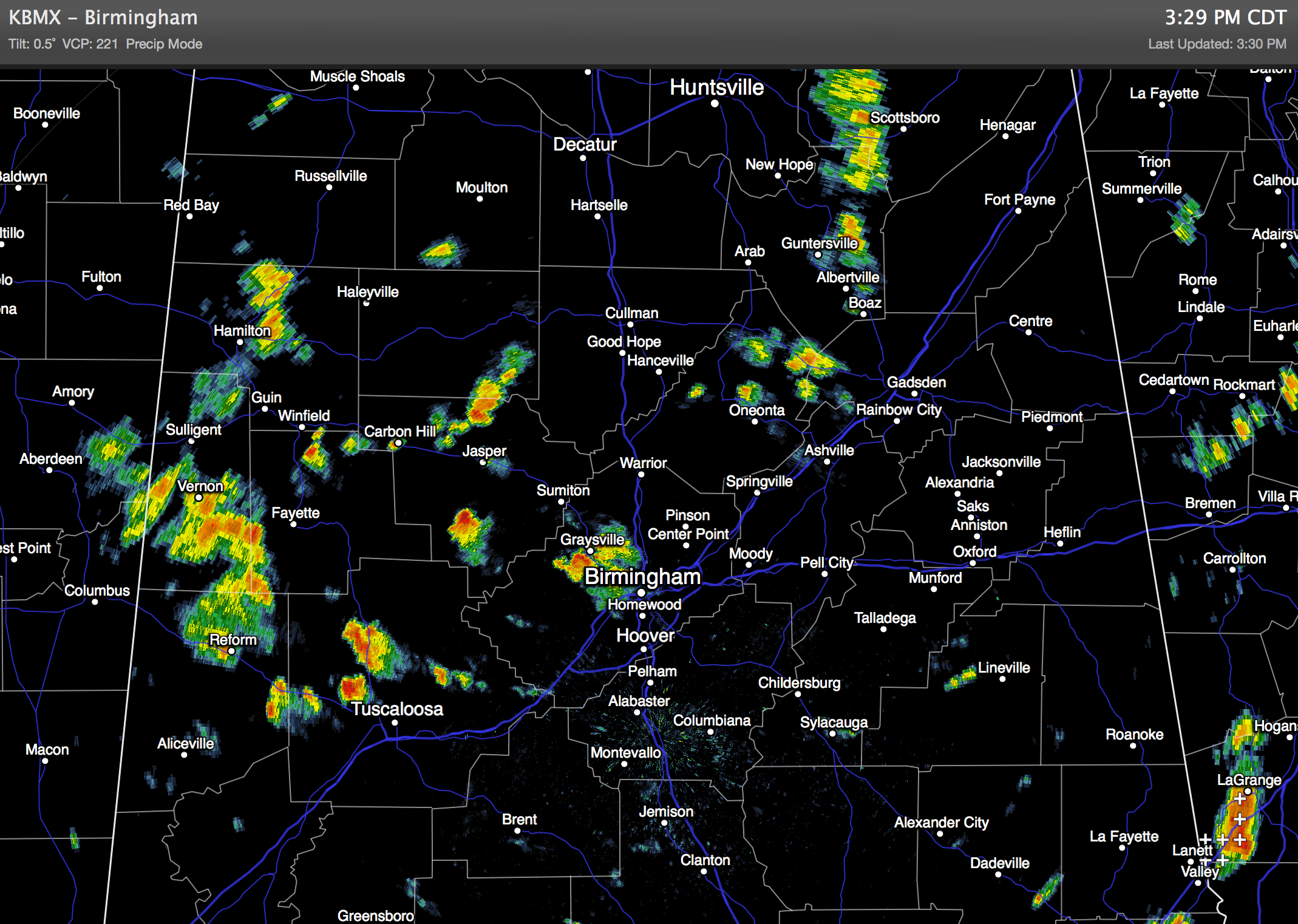
RADAR CHECK: We have scattered to numerous showers and thunderstorms across Alabama this afternoon thanks to an upper trough passing overhead.
The rain is heavy in spots, but there is very little lighting, and most places are rain cooled with temperatures only in the 70s.
TOMORROW: The day should be drier as the trough axis moves west of the state. Afternoon showers should be widely spaced, the sky will be partly sunny, and the high will be in the mid 80s.
TO THE WEST: SPC has the standard “slight risk” of severe weather up from Mississippi to Texas, where severe storms will likely develop ahead of another upper trough. Some of these storms could move into Alabama late tomorrow night, but they should be in a weakening phase when they arrive here.
On Friday we will forecast scattered to numerous showers and storms, with a few strong ones possible, as the trough swings through. It won’t rain all day, however, and the sun could peek out at times.
OUR WEEKEND: The weather trends drier. We will mention scattered, mostly afternoon and evening showers and storms Saturday with a mix of sun and clouds. Chance of any one spot getting wet Saturday is about one in three, and the best chance of a shower or storm will come from about 2:00 p.m. until 8:00 p.m. Then, Sunday looks mostly dry with only widely scattered afternoon showers or thunderstorms. Temperatures will rise into the upper 80s both days.
NEXT WEEK: An upper high will build over the region, meaning hotter afternoon temperatures and fewer showers. There is always some risk of a shower or storm on summer afternoons in Alabama, but they should be few and far between during the first half of the week. Highs will be at or just over 90 degrees.
AT THE BEACH: About 5 to 7 hours of sunshine each day through Sunday with a few scattered showers and storms. Showers should be most numerous on Friday. Highs in the 80s from Panama City over to Gulf Shores, with sea water temperatures mostly in the low to mid 80s. No sign of any tropical issues anytime soon as the Atlantic basin is quiet.
WEATHER BRAINS: Don’t forget you can listen to our weekly 90 minute netcast anytime on the web, or on iTunes. This is the show all about weather featuring many familiar voices, including our meteorologists here at ABC 33/40.
CONNECT: You can find me on all of the major social networks…
Facebook
Twitter
Google Plus
Instagram
Look for the next Weather Xtreme video here by 7:00 a.m. tomorrow…
Category: Alabama's Weather
About the Author (Author Profile)
James Spann is one of the most recognized and trusted television meteorologists in the industry. He holds the AMS CCM designation and television seals from the AMS and NWA. He is a past winner of the Broadcast Meteorologist of the Year from both professional organizations.Subscribe
If you enjoyed this article, subscribe to receive more just like it.


