

Only Isolated Showers This Afternoon
An all new edition of the ABC 33/40 Weather Xtreme video is available in the player on the right sidebar of the blog. You can subscribe to the Weather Xtreme video on iTunes by clicking here.
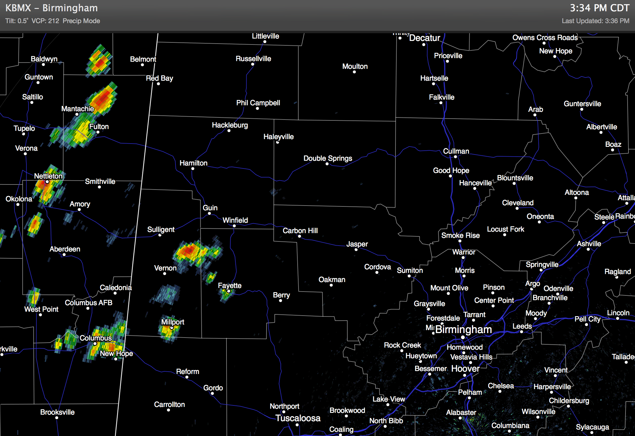
RADAR CHECK: Pretty quiet at mid-afternoon as expected… we just have a few isolated showers over Northwest Alabama moving slowly to the east; these should fizzle out pretty quickly after sunset. Otherwise, the sky is partly to mostly sunny, and most places are seeing a high around 90 degrees.
MID-WEEK: A surface boundary will approach from the north, and tomorrow there should be an increase in the number of showers and storms mainly over the Tennessee Valley region of far North Alabama… the rest of the state will see only isolated showers with a high at or just over 90.
Then, all of North/Central Alabama should see scattered to numerous showers and thunderstorms Wednesday and Thursday as the front stalls out near the Alabama/Tennessee border. SPC has the low end 5 percent severe possibility in place for much of our state Wednesday, so a few strong storms are possible with gusty winds, but organized severe weather for now doesn’t look likely with a relatively weak wind field. Highs will drop into the mid to upper 80s Wednesday and Thursday because of clouds and showers, and average rain amounts of around one inch can be expected. Of course, we all know that summer rain distribution is very uneven, and your amount could vary.
FRIDAY AND THE WEEKEND: The 12Z run of the GFS model continues to show drier air creeping down into the northern third of the state, and the chance of rain accordingly will decrease with increasing amounts of sunshine. The weekend looks mostly dry and hot; highs in the low 90s with only isolated showers Saturday and Sunday.
Still some evidence showers and storms could increase again early next week across the Deep South as the upper ridge begins to weaken a bit. See the Weather Xtreme video for the maps, graphics, and details.
GULF COAST WEATHER: Looks good through the weekend; about 7 to 9 hours of sunshine each day, with the usual risk of widely scattered thunderstorms. Highs on the immediate coast will be in the upper 80s… sea water temperatures are generally in the mid 80s.
TROPICS: The Atlantic basin remains quiet with dry air over much of the basin. Over in the western Pacific, thankfully Neogrui lost the “super typhoon” status today as drier air has entered the circulation. Still, it is the equivalent of a category three hurricane, and will pass just west of Okinawa tomorrow, and impact far southern Japan later this week (main risk there will come from flooding). See the Weather Xtreme video for the maps and graphics.
WEATHER BRAINS: Don’t forget you can listen to our weekly 90 minute netcast anytime on the web, or on iTunes. This is the show all about weather featuring many familiar voices, including our meteorologists here at ABC 33/40. We will produce this week’s show tonight at 8:30 CT… you can watch it on “James Spann 24/7” on cable systems around the state, or on the web here.
CONNECT: You can find me on all of the major social networks…
Facebook
Twitter
Google Plus
Instagram
Look for the next Weather Xtreme video here by 7:00 a.m. tomorrow….
Category: Alabama's Weather
About the Author (Author Profile)
James Spann is one of the most recognized and trusted television meteorologists in the industry. He holds the AMS CCM designation and television seals from the AMS and NWA. He is a past winner of the Broadcast Meteorologist of the Year from both professional organizations.Subscribe
If you enjoyed this article, subscribe to receive more just like it.


