

Summer Rain For Alabama
An all new edition of the ABC 33/40 Weather Xtreme video is available in the player on the right sidebar of the blog. You can subscribe to the Weather Xtreme video on iTunes by clicking here.
BENEFICIAL RAIN FOR MANY: The day is starting off wet for much of North Alabama…
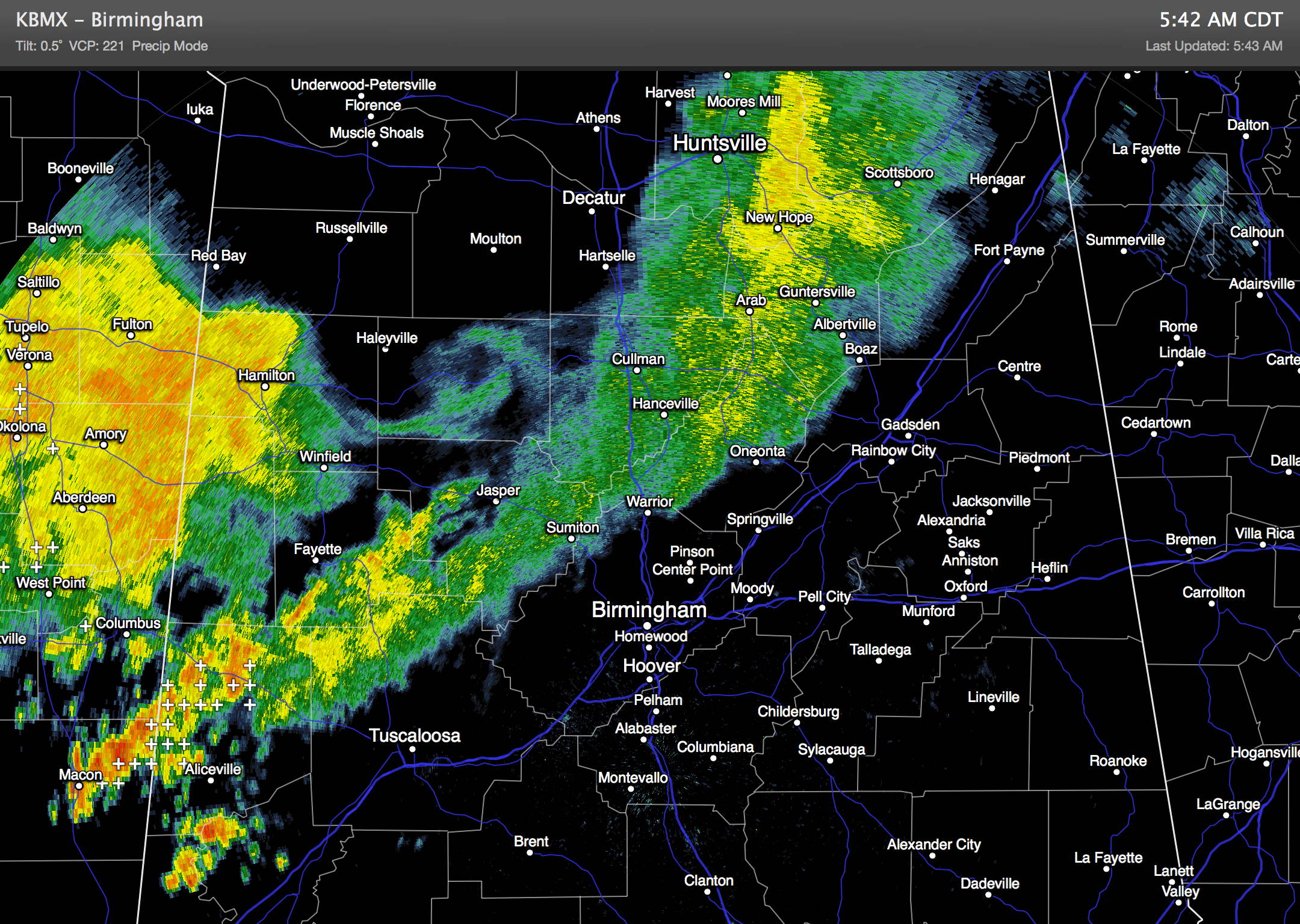
An upper trough over the eastern half of the nation and a surface front moving down through Tennessee will keep periods of rain and a few thunderstorms going through the day. High resolution model data hints the most widespread rain this morning will come along and north of I-20, with the better coverage of showers and storms this afternoon shifting south into Central Alabama.
A few strong storms are possible today, but organized severe weather is not expected with a relatively weak wind field in place. We won’t get past the low to mid 80s because of clouds and rain.
TOMORROW: The front moves down to near the Tennessee River… we will maintain the chance of a few passing showers and thunderstorms, but the far northern part of the state will be relatively dry. Tomorrow’s high should be in the upper 80s with a mixture of clouds and sunshine.
FRIDAY AND THE WEEKEND: The weather will trend hotter and drier as the front washes out and an upper ridge builds across the Deep South. Expect a good supply of sunshine each day with only isolated afternoon showers… highs will be mostly in the low 90s, with mid 90s for some West Alabama communities.
NEXT WEEK: The upper ridge shifts to the west, and another surface front will approach from the north… this should open the door for another increase in the number of showers and storms at least for the first half of next week. See the Weather Xtreme video for the maps, graphics, and details.
GULF COAST WEATHER: Expect a decent amount of sunshine today with only isolated showers… there will be an increase in the number of showers and storms tomorrow from Panama City over to Gulf Shores with a limited amount of sunshine, but Friday and the weekend look great with about 7 to 9 hours of sunshine each day with only widely scattered storms. Highs will remain mostly in the upper 80s along the immediate Gulf Coast, and sea water temperatures are mostly in the mid 80s.
TROPICS: The Atlantic basin remains very quiet thanks to dry air. And, over in the western Pacific, Typhoon Neoguri is moving into southern Japan in a weaker state… flash flooding is the primary threat.
WEATHER BRAINS: Don’t forget you can listen to our weekly 90 minute netcast anytime on the web, or on iTunes. This is the show all about weather featuring many familiar voices, including our meteorologists here at ABC 33/40.
CONNECT: You can find me on all of the major social networks…
Facebook
Twitter
Google Plus
Instagram
I have a weather program this morning at the public library in Double Springs in Winston County… look for the next Weather Xtreme video here by 4:00 this afternoon. Enjoy the day!
Category: Alabama's Weather
About the Author (Author Profile)
James Spann is one of the most recognized and trusted television meteorologists in the industry. He holds the AMS CCM designation and television seals from the AMS and NWA. He is a past winner of the Broadcast Meteorologist of the Year from both professional organizations.Subscribe
If you enjoyed this article, subscribe to receive more just like it.


