

Warm and Humid; Scattered Showers
An all new edition of the ABC 33/40 Weather Xtreme video is available in the player on the right sidebar of the blog. You can subscribe to the Weather Xtreme video on iTunes by clicking here.
RADAR CHECK: Rain is falling early this morning over parts of Northeast Alabama’s Etowah, Cherokee, and DeKalb Counties… these showers are showing little movement. The rest of the state is dry with temperatures mostly in the upper 60s and low 70s.
A broad upper low is over East Alabama and Georgia this morning, and this should keep the best chance of showers over the eastern half of the state today. The highest amount of sunshine will be over the western counties, and most places will see a high somewhere between 86 and 89 degrees. Interesting to note the last time we saw a high of 90 or higher (in Birmingham) was one week ago… Monday July 14. A remarkable steak for the middle of July.
THE WEEK AHEAD: The upper low will drift to the southwest tomorrow, which should mean a better coverage of showers and storms across Alabama. It won’t rain everywhere, but a number of communities should see a good shower during the day, and highs will remain in the mid to upper 80s.
Then, Wednesday looks like a rather typical summer day. Partly sunny; the risk of scattered, mostly afternoon and evening showers and thunderstorms. We could touch 90 degrees Wednesday afternoon.
The GFS continues with the idea of a surface front approaching the state from the north Thursday and Friday, which could provide an increase in the number of scattered showers and storms over the northern counties of the state.
SATURDAY/SUNDAY: For the moment the GFS is suggesting the weekend will be relatively dry with only isolated showers, but the door is open for a wave to move into the state on a northwest flow aloft, and trying to identify this kind of feature is almost impossible five days in advance. For now we will just mention widely scattered showers and storms both days with a high close to, or just over 90 degrees.
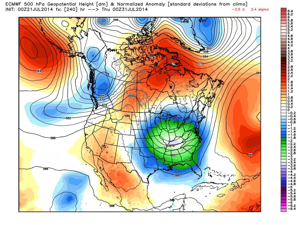
VOODOO LAND: The European model is suggesting a deep upper trough will form over the eastern U.S. again at the end of July, which could set up another unusually “cool”, dry airmass for Alabama.
Could we be setting up for another round of record lows? We will just have to wait and see. Check out the Weather Xtreme video for the maps, graphics, and more details.
GULF COAST WEATHER: For the coast from Panama City over to Gulf Shores this week, it looks like rather routine summer weather with about 6 to 8 hours of sunshine each day along with the risk of scattered thunderstorms. Highs will be in the 85 to 88 degree range on the immediate coast, and the sea water temperature this morning at the Dauphin Island Sea Lab is 81 degrees.
TROPICS: A weak disturbance southwest of the Cape Verde Islands should dissipate later this week, and tropical storm formation is not expected in the Atlantic basin anytime soon.
WEATHER BRAINS: Don’t forget you can listen to our weekly 90 minute netcast anytime on the web, or on iTunes. This is the show all about weather featuring many familiar voices, including our meteorologists here at ABC 33/40. Oklahoma City TV weather legend Gary England will be our guest on this week’s show, which we will produce tonight at 8:30 CT. You can watch it on “James Spann 24/7” on cable systems around the state, or on the web here.
CONNECT: You can find me on all of the major social networks…
Facebook
Twitter
Google Plus
Instagram
Look for the next Weather Xtreme video here by 4:00 this afternoon…. enjoy the day…
Category: Alabama's Weather
About the Author (Author Profile)
James Spann is one of the most recognized and trusted television meteorologists in the industry. He holds the AMS CCM designation and television seals from the AMS and NWA. He is a past winner of the Broadcast Meteorologist of the Year from both professional organizations.Subscribe
If you enjoyed this article, subscribe to receive more just like it.


