

Heat Relief On The Way
An all new edition of the ABC 33/40 Weather Xtreme video is available in the player on the right sidebar of the blog. You can subscribe to the Weather Xtreme video on iTunes by clicking here.
RADAR CHECK: A few isolated showers are in progress across Alabama early this morning at daybreak from Tuscaloosa to Calera… these are moving southeast ahead of a push of cooler, drier air that is entering the far northern part of the state.
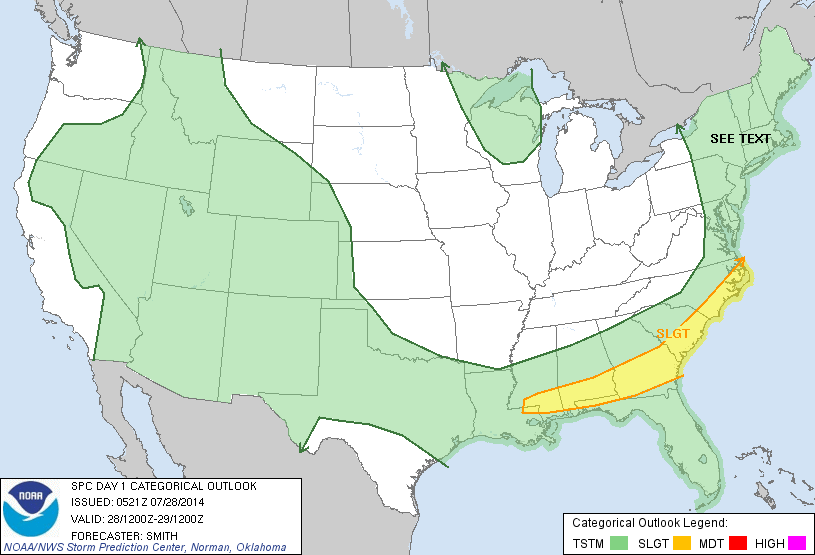
The drier air will win the battle, and later today showers and storms will be confined to the southern half of Alabama, south of U.S. 80. In fact, SPC has the standard “slight risk” of severe weather up for parts of South Alabama this afternoon and early tonight; strong winds will be the main threat.
FALL PREVIEW: Our weather will be delightful tonight through Thursday, with sunny days, clear cool nights, and low humidity levels. Highs in the mid 80s, lows dropping into the 57-61 degree range by early Wednesday. Birmingham’s record low for Wednesday morning (July 30) is 61 set in 1994… a good chance that record falls.
FRIDAY AND THE WEEKEND: Moist air returns to the state. A few scattered showers could break out Friday, and we will have the risk of scattered showers and thunderstorms both Saturday and Sunday. Not to say it will be a totally wet weekend, but keep in mind a passing shower or storm will be possible, especially during the afternoon and evening hours. Highs will remain in the 80s as a broad upper trough persists over the eastern half of the nation.
See the Weather Xtreme video for the maps, graphics, and details.
GULF COAST WEATHER: A passing strong storm is possible late this afternoon or tonight along the coast from Panama City over to Gulf Shores, then beautiful weather tomorrow through Thursday with sunny days and fair nights. A few scattered storms will return late this weekend and over the weekend, but you will still get about 6 to 8 hours of sunshine each day. Highs on the immediate coast will remain in the upper 80s, and the sea water temperature early this morning at the Dauphin Island Sea Lab is 86 degrees.
TROPICS: A tropical wave in the eastern Atlantic has some chance of gradual development in coming days as it moves west/northwest. Most tropical models have the system near the Leeward Islands in about five days… out in the longer range the GFS model hints this will recurve before impacting the U.S. mainland. If this becomes a tropical storm, the name will be Bertha. Details on the Weather Xtreme video.
WEATHER BRAINS: Don’t forget you can listen to our weekly 90 minute netcast anytime on the web, or on iTunes. This is the show all about weather featuring many familiar voices, including our meteorologists here at ABC 33/40. We will produce this week’s show tonight at 8:30p CT… you can watch it on “James Spann 24/7” on cable systems around the state, or on the web here.
CONNECT: You can find me on all of the major social networks…
Facebook
Twitter
Google Plus
Instagram
I will be speaking to students in the summer program at Meadow View Elementary in Alabaster this morning (and also to the teachers after the kid program)… look for the next Weather Xtreme video here by 4:00 this afternoon. Enjoy the day!
Category: Alabama's Weather
About the Author (Author Profile)
James Spann is one of the most recognized and trusted television meteorologists in the industry. He holds the AMS CCM designation and television seals from the AMS and NWA. He is a past winner of the Broadcast Meteorologist of the Year from both professional organizations.Subscribe
If you enjoyed this article, subscribe to receive more just like it.


