

Record Lows Shattered Across Alabama
An all new edition of the ABC 33/40 Weather Xtreme video is available in the player on the right sidebar of the blog. You can subscribe to the Weather Xtreme video on iTunes by clicking here.
COOL JULY MORNING: Here is a look at observations at daybreak across Alabama…
Black Creek (just northeast of Gadsden) 50
Jamestown (Cherokee County) 51
Fort Payne 52
Valley Head (DeKalb County) 52
Cottondale 52
Cullman 53
Jasper 54
Demopolis 54
Haleyville 54
Gadsden 55
Anniston 56
Jemison 56
Pleasant Grove 57
Auburn 57
Tuscaloosa 58
Birmingham Airport 58
Montgomery 59
New record lows have been established at all climate reporting sites in our state, and in Montgomery, the record for July 30 that stood for 125 years was shattered (their old record low was 66 set in 1889).
Today will be another delightful day, with ample sunshine and low humidity along with a high in the mid 80s.
TOMORROW/FRIDAY: Looks like most of the state will stay dry tomorrow with only a small risk of an afternoon shower, but scattered showers and storms will more likely Friday as moisture levels rise. Highs will be in the mid to upper 80s both days.
THE ALABAMA WEEKEND: A pretty decent pool of moisture will be in place, and with an upper trough axis to the west we expect scattered, perhaps numerous showers and thunderstorms over the weekend. The sky will be occasionally cloudy with highs generally in the mid 80s. The sun will be out at times, but if you have something planned outdoors, just be aware that you will have to dodge occasional showers.
Then, early next week, the air becomes drier across the state and showers become hard to find by Tuesday. See the Weather Xtreme video for the maps, graphics, and details.
GULF COAST WEATHER: Lots of sunshine for the coast from Panama City over to Gulf Shores today and tomorrow; then we will bring in the risk of a few scattered storms Friday through Sunday, but even then you will see 6 to 8 hours of sunshine each day. Highs on the coast will remain in the mid to upper 80s. The sea water temperature early this morning at the Dauphin Island Sea Lab is 82 degrees.
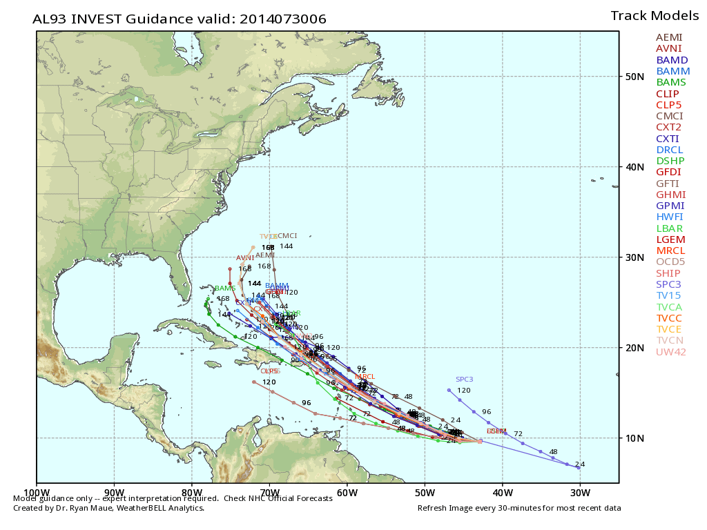
TROPICAL WEATHER UPDATE: The well organized wave in the Atlantic, about half way between the coast of Africa and the Lesser Antilles, is expected to become a tropical depression later today or tonight as it moves west/northwest. A good chance it will be Tropical Storm Bertha by Friday, but models continue to show a path of recurvature over the open Atlantic before it gets close to the U.S. See the Weather Xtreme video for the details.
WEATHER BRAINS: Don’t forget you can listen to our weekly 90 minute netcast anytime on the web, or on iTunes. This is the show all about weather featuring many familiar voices, including our meteorologists here at ABC 33/40.
CONNECT: You can find me on all of the major social networks…
Facebook
Twitter
Google Plus
Instagram
Look for the next Weather Xtreme video here by 4:00 this afternoon… enjoy the day…
Category: Alabama's Weather
About the Author (Author Profile)
James Spann is one of the most recognized and trusted television meteorologists in the industry. He holds the AMS CCM designation and television seals from the AMS and NWA. He is a past winner of the Broadcast Meteorologist of the Year from both professional organizations.Subscribe
If you enjoyed this article, subscribe to receive more just like it.


