

The Heat Is On; Storms Stay Isolated
An all new edition of the ABC 33/40 Weather Xtreme video is available in the player on the right sidebar of the blog. You can subscribe to the Weather Xtreme video on iTunes by clicking here.
HOT, HAZY, HUMID: An upper high is building across the Deep South, and we expect the hottest weekend so far this summer in the days ahead with afternoon highs in the 95-99 degree range for most communities across North/Central Alabama. Afternoon thunderstorms are possible, but like yesterday they will be very isolated in nature. The chance of any one spot seeing a storm through the weekend is only in the 10-20 percent range. But, where they do form, they will pack a punch.
HIGH SCHOOL FOOTBALL: Not exactly a cool, crisp night for the games across the state tonight; the kickoff temperature will be between 87 and 90 for most high school stadiums, falling to near 80 by the final whistle. An evening thunderstorm can’t be ruled out, but the odds of any one stadium getting wet is only about 15 percent.
NEXT WEEK: Heat levels fall as the upper high weakens; afternoon highs will be around 90 degrees much of the week. We also expect an increase in the number of scattered showers and thunderstorms Monday as the air aloft becomes colder. The GFS hints Tuesday and Wednesday will be relatively dry, followed by an increase in showers/storms Thursday ahead of a cold front. Then, some chance we will enjoy lower humidity levels and cooler nights at the end of the week and the beginning of the Labor Day weekend. See the Weather Xtreme video for maps, graphics, and more details.
GULF COAST WEATHER: Look for mostly sunny days and fair nights from Panama City to Gulf Shores through Sunday with only isolated storms; highs on the immediate coast will be in the 87-91 degree range, with mid 90s inland. Too early for a specific Labor Day forecast, but for now we don’t see anything unusual impacting the region.
TROPICS: The disturbance near the Leeward Islands still have a chance of becoming a tropical storm over the next few days; if anything forms there it will recurve, most likely, into the open Atlantic east of the U.S. mainland.
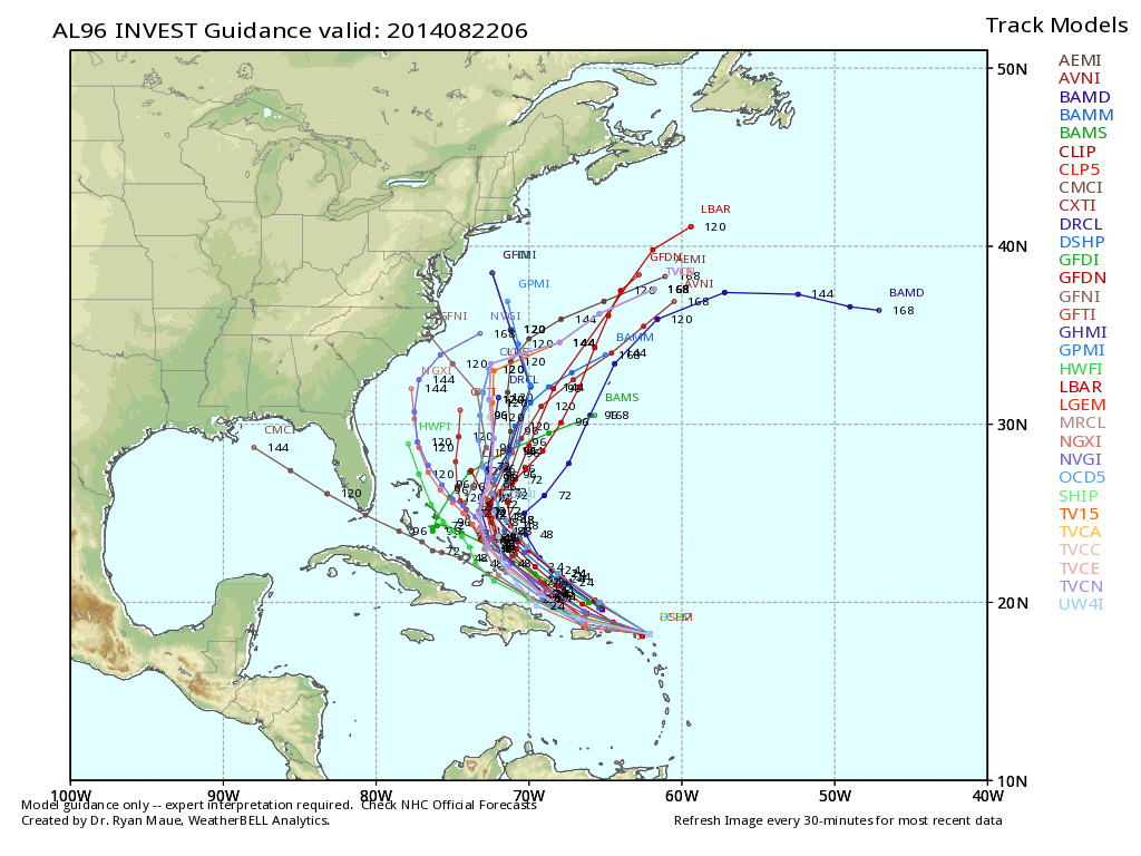
The rest of the Atlantic basin is quiet.
WEATHER BRAINS: Don’t forget you can listen to our weekly 90 minute netcast anytime on the web, or on iTunes. This is the show all about weather featuring many familiar voices, including our meteorologists here at ABC 33/40.
CONNECT: You can find me on all of the major social networks…
Facebook
Twitter
Google Plus
Instagram
Look for the next Weather Xtreme video here by 4:00 or so this afternoon… enjoy the day!
Category: Alabama's Weather
About the Author (Author Profile)
James Spann is one of the most recognized and trusted television meteorologists in the industry. He holds the AMS CCM designation and television seals from the AMS and NWA. He is a past winner of the Broadcast Meteorologist of the Year from both professional organizations.Subscribe
If you enjoyed this article, subscribe to receive more just like it.


