

Some Afternoon Storms
Click image to enlarge.
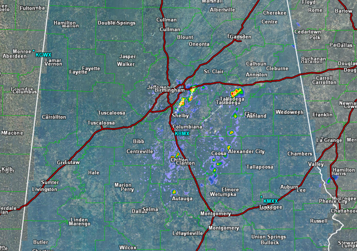
It is another hot afternoon across the state as most locations have once again climbed into the 90s. The ridge over the state has retrograded back to the west today, and that will allow for showers and storms to develop and move from north to south or northeast to southwest across the state today.
Early this afternoon, we already see a few storms south of Interstate 20 and east of Interstate 65, and these storms are moving towards the southwest. Portions of Talladega, St. Clair, Jefferson, Shelby, and Coosa counties are being impacted at this time. With these storms, there will be very heavy rainfall, intense lightning, gusty winds, and there could even be some hail. There could be a few strong storms today, but overall the best thing about these storms is they will provide some temporary heat relief.
Heading through the afternoon, expect scattered to numerous showers and storms across the Alabama landscape. After the sun sets this evening, and daytime heating is lost, today’s convection should begin to wind down.
Category: Alabama's Weather
About the Author (Author Profile)
Macon, Georgia Television Chief Meteorologist, Birmingham native, and long time Contributor on AlabamaWX. Stormchaser. I did not choose Weather, it chose Me. College Football Fanatic. @Ryan_StinnetSubscribe
If you enjoyed this article, subscribe to receive more just like it.


