

A Few Scattered Storms Around
An all new edition of the ABC 33/40 Weather Xtreme video is available in the player on the right sidebar of the blog. You can subscribe to the Weather Xtreme video on iTunes by clicking here.
RADAR CHECK: Widely scattered showers and storms have fired up across parts of Alabama this Labor Day afternoon. Most of them at mid-afternoon were south of I-20, and east of I-65… they are moving northeast, and will fade away once the sun goes down later this evening. Temperatures are generally in the 90-93 degree range.
REST OF THE WEEK: The weather just won’t change very much through Friday. Partly sunny days, and the daily risk of the hit and miss, “scattered, mostly afternoon and evening showers and thunderstorms”. Storms in an environment like this form in random places, and come and go pretty quickly. But, they can be strong and produce brief heavy rain in a few places. Afternoons highs will be somewhere between 91 and 94 degrees in most communities.
THE ALABAMA WEEKEND: The ridge weakens a bit, and a surface front will ease down into Tennessee Saturday. This could give us a little bump in the number of thunderstorms Saturday and Saturday night, but it still won’t rain everywhere, and the day Saturday will feature a mix of sun and clouds with a high around 90 degrees.
There is a chance drier air could temporarily drop into far North Alabama Sunday, but the front will probably fizzle out near the Tennessee Valley, and we will continue to mention at least a chance of a pop up shower or storm Sunday afternoon; the high will stay close to 90 degrees.
NEXT WEEK: Heat levels should back off a bit as the ridge weakens; looks like highs in the mid to upper 80s. See the Weather Xtreme video for maps, graphics, and more details.
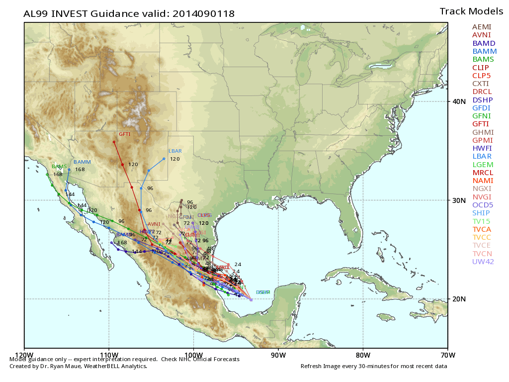
TROPICS: A disturbance in the Bay of Campeche has a decent chance of becoming a tropical depression or storm over the next 36 hours, but it will move into the Mexican coast far south of Brownsville, Texas Wednesday. The rest of the Atlantic basin is very quiet. In fact, there is not a single tropical cyclone on the planet this afternoon, a very rare thing for September 1.
GULF COAST WEATHER: About 6 to 8 hours of sunshine from Panama City to Gulf Shores through Friday with a few scattered storms around daily; highs on the immediate coast will be in the 87 to 90 degree range. The sea water temperature this afternoon at the Dauphin Island Sea Lab is 85 degrees.
WEATHER BRAINS: Don’t forget you can listen to our weekly 90 minute netcast anytime on the web, or on iTunes. This is the show all about weather featuring many familiar voices, including our meteorologists here at ABC 33/40. We will produce this week’s show tomorrow night at 8:30 CT.
CONNECT: You can find me on all of the major social networks…
Facebook
Twitter
Google Plus
Instagram
Look for the next Weather Xtreme video here by 7:00 a.m. tomorrow….
Category: Alabama's Weather
About the Author (Author Profile)
James Spann is one of the most recognized and trusted television meteorologists in the industry. He holds the AMS CCM designation and television seals from the AMS and NWA. He is a past winner of the Broadcast Meteorologist of the Year from both professional organizations.Subscribe
If you enjoyed this article, subscribe to receive more just like it.


